공지사항: 새로운 기본 지도 스타일이 곧 Google Maps Platform에 제공될 예정입니다. 이 지도 스타일 지정 업데이트에는 새로운 기본 색상 팔레트, 현대화된 핀, 지도 환경 및 사용성 개선사항이 포함됩니다. 모든 지도 스타일이 2025년 3월에 자동으로 업데이트됩니다. 사용 가능 여부 및 더 일찍 선택하는 방법에 대한 자세한 내용은 Google Maps Platform용 새로운 지도 스타일을 참고하세요.
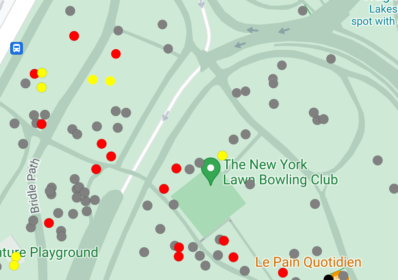
데이터 세트에 대한 데이터 기반 스타일 지정 기능을 사용하면 자체 지리 정보 데이터 세트를 업로드하고, 이 데이터 세트의 데이터 지형지물에 맞춤 스타일을 적용하고, 지도에 이러한 데이터 지형지물을 표시할 수 있습니다. 점, 다중선, 다각형 도형을 기반으로 데이터 시각화를 생성하고 데이터 지형지물이 클릭 이벤트에 반응하도록 설정할 수 있습니다. 데이터 세트에 대한 데이터 기반 스타일 지정은 벡터 지도에서만 지원됩니다(지도 ID 필요).
[[["이해하기 쉬움","easyToUnderstand","thumb-up"],["문제가 해결됨","solvedMyProblem","thumb-up"],["기타","otherUp","thumb-up"]],[["필요한 정보가 없음","missingTheInformationINeed","thumb-down"],["너무 복잡함/단계 수가 너무 많음","tooComplicatedTooManySteps","thumb-down"],["오래됨","outOfDate","thumb-down"],["번역 문제","translationIssue","thumb-down"],["샘플/코드 문제","samplesCodeIssue","thumb-down"],["기타","otherDown","thumb-down"]],["최종 업데이트: 2025-01-14(UTC)"],[[["Data-driven styling allows you to upload custom geospatial datasets (GeoJSON, CSV, KML) and visualize them on vector maps using points, polylines, and polygons."],["Datasets are managed through Google Cloud Console or Google Cloud Shell and are associated with map styles and IDs for display."],["You can customize the visual appearance of data features based on their properties and enable click event interactions."],["Data-driven styling enables the creation of dynamic and interactive data visualizations for highlighting locations, geographical features, and areas on maps."]]],[]]