

หากต้องการใช้การจัดรูปแบบตามข้อมูลสำหรับขอบเขต คุณต้องสร้างรหัสแผนที่ จากนั้นคุณต้องสร้างรูปแบบแผนที่ใหม่ เลือกเลเยอร์ฟีเจอร์ขอบเขตที่ต้องการ และเชื่อมโยงรูปแบบกับรหัสแผนที่
สร้างรหัสแผนที่
mapID คือตัวระบุที่ไม่ซ้ำกันซึ่งแสดงถึง อินสแตนซ์เดียวของ Google Maps คุณสร้างรหัสแผนที่และอัปเดตรูปแบบ ที่เชื่อมโยงกับรหัสแผนที่ได้ทุกเมื่อในคอนโซล Google Cloud
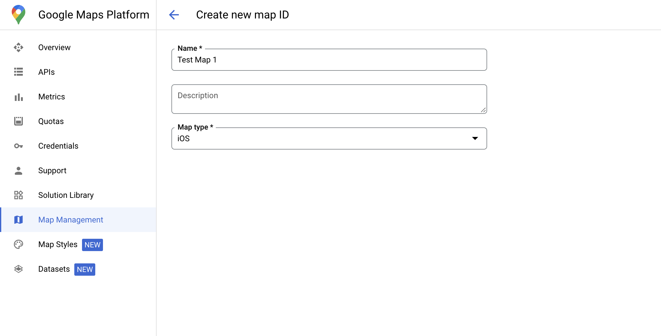
สร้างสไตล์แผนที่ใหม่
หากต้องการสร้างรูปแบบแผนที่ใหม่ ให้ทำตามวิธีการในจัดการรูปแบบแผนที่เพื่อสร้าง รูปแบบ เมื่อเสร็จแล้ว ให้เชื่อมโยงรูปแบบกับรหัสแผนที่ที่สร้างขึ้นใหม่
เลือกฟีเจอร์เลเยอร์
ในคอนโซล Google Cloud คุณสามารถเลือกเลเยอร์ฟีเจอร์ที่จะแสดงได้ ซึ่งจะ กำหนดขอบเขตประเภทใดที่จะปรากฏบนแผนที่ (เช่น ท้องถิ่น รัฐ และอื่นๆ)
จัดการฟีเจอร์เลเยอร์
ในคอนโซล Google Cloud ให้ไปที่หน้าลักษณะแผนที่
เลือกโปรเจ็กต์หากได้รับแจ้ง
เลือกรูปแบบแผนที่
คลิกเมนูแบบเลื่อนลงเลเยอร์ฟีเจอร์เพื่อเพิ่มหรือนำเลเยอร์ออก
คลิกบันทึกเพื่อบันทึกการเปลี่ยนแปลงและทำให้การเปลี่ยนแปลงพร้อมใช้งานในแผนที่

อัปเดตรหัสการเริ่มต้นแผนที่
ขั้นตอนนี้กำหนดให้ต้องเชื่อมโยงรหัสแผนที่กับสไตล์ที่มีการเปิดใช้เลเยอร์ฟีเจอร์อย่างน้อย 1 รายการ หากต้องการยืนยันว่าตั้งค่ารหัสแผนที่อย่างถูกต้องใน Cloud Console โปรดดูวิธีกำหนดค่าในส่วนการจัดการ Maps
Swift
// A map ID using a style with one or more feature layers enabled

let mapID = GMSMapID(identifier: "YOUR_MAP_ID")
let camera = GMSCameraPosition(latitude: 40, longitude: -80, zoom: 7)
let options = GMSMapViewOptions()
options.camera = camera
options.mapID = mapID
let mapView = GMSMapView(options: options)
Objective-C
// A map ID using a style with one or more feature layers enabled

GMSMapID *mapID = [GMSMapID mapIDWithIdentifier:@"MAP_ID"];
GMSCameraPosition *camera = [GMSCameraPosition cameraWithLatitude:40 longitude:-80 zoom:7];
GMSMapViewOptions *options = [[GMSMapViewOptions alloc] init];
options.camera = camera;
options.mapID = mapID;
GMSMapView *mapView = [[GMSMapView alloc] initWithOptions:options];
เพิ่มเลเยอร์ฟีเจอร์ลงในแผนที่
หากต้องการรับการอ้างอิงไปยังเลเยอร์ของฟีเจอร์ในแผนที่ ให้เรียกใช้
mapView.featureLayer(of:)
เมื่อแผนที่เริ่มต้น
Swift
let layer = mapView.featureLayer(of: .locality)
Objective-C
GMSFeatureLayer*layer = [mapView featureLayerOfFeatureType:GMSFeatureTypeLocality];
ตรวจสอบความสามารถของแผนที่
การจัดรูปแบบตามข้อมูลสำหรับขอบเขตต้องใช้ความสามารถที่เปิดใช้ใน
คอนโซล Google Cloud และเชื่อมโยงกับรหัสแผนที่ เนื่องจากรหัสแผนที่มีการเปลี่ยนแปลง คุณจึงเรียกใช้
mapView.mapCapabilities
ใน GMSMapView เพื่อตรวจสอบว่าความสามารถบางอย่าง (เช่น การจัดรูปแบบตามข้อมูล) พร้อมใช้งานหรือไม่ก่อนที่จะเรียกใช้
นอกจากนี้ คุณยังตรวจหาการเปลี่ยนแปลงความสามารถของแผนที่ได้โดยการติดตาม
GMSViewDelegate ตัวอย่างนี้แสดงวิธีใช้โปรโตคอล
เพื่อตรวจสอบข้อกำหนดในการจัดรูปแบบตามข้อมูล
Swift
class SampleViewController: UIViewController {

  private lazy var mapView: GMSMapView = {
    let options = GMSMapViewOptions()
    options.mapID = GMSMapID(identifier: "YOUR_MAP_ID")
    options.camera = GMSCameraPosition(latitude: 40, longitude: -80, zoom: 7)
    return GMSMapView(options: options)
  }()

  override func loadView() {
    self.view = mapView
    mapView.delegate = self
  }
}

extension SampleViewController: GMSMapViewDelegate {
  func mapView(_ mapView: GMSMapView, didChange mapCapabilities: GMSMapCapabilityFlags) {
    if (!mapCapabilities.contains(.dataDrivenStyling)) {
      // Data-driven styling is *not* available, add a fallback.
      // Existing feature layers are also unavailable.
    }
  }
}
Objective-C
@interface SampleViewController: UIViewController <GMSMapViewDelegate>
@end

@implementation SampleViewController
- (void)loadView {
  GMSCameraPosition *camera = [GMSCameraPosition cameraWithLatitude:40 longitude:-80 zoom:7];
  GMSMapViewOptions *options = [[GMSMapViewOptions alloc] init];
  options.camera = camera;
  options.mapID = [GMSMapID mapIDWithIdentifier:@"MAP_ID"];
  GMSMapView *mapView = [[GMSMapView alloc] initWithOptions:options];
  mapView.delegate = self;
  self.view = mapView;
}

- (void)mapView:(GMSMapView *)mapView didChangeMapCapabilities:(GMSMapCapabilityFlags)mapCapabilities {
  if (!(mapCapabilities & GMSMapCapabilityFlagsDataDrivenStyling)) {
    // Data-driven styling is *not* available, add a fallback.
    // Existing feature layers are also unavailable.
  }
}
@end