Looking for advanced features to add to your maps? The Maps SDK for Android Utility Library is an open-source library of classes that are useful for a range of applications. The GitHub repository includes the utility classes and a demo app that illustrates the use of each class.
In this video, Chris Broadfoot discusses the utility library, with a focus on polyline decoding, spherical geometry, and bubble icons.
Quick setup
To install the Maps SDK for Android Utility Library, follow the setup guide.
The utilities
|
Import GeoJSON onto your mapYou can store features in GeoJSON
format and use this utility to render them as a layer on top of a map.
Call For details, see the documentation on the Google Maps Android GeoJSON Utility. |
|
Import KML onto your mapUsing this utility, you can convert
KML
objects into geographical shapes and render them as a layer on
top of a map. Call For details, see the documentation on the Google Maps Android KML Utility. |
|
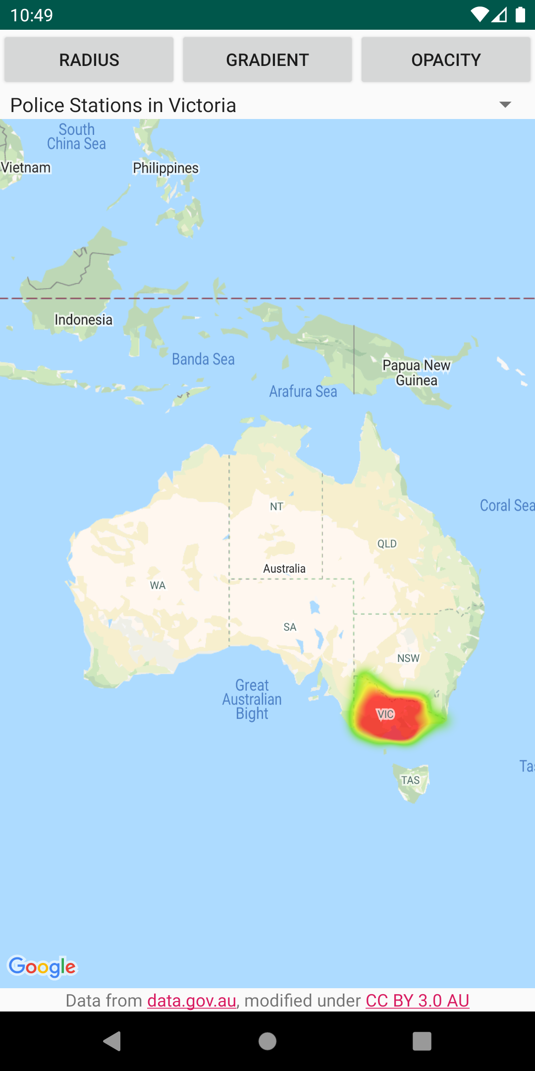
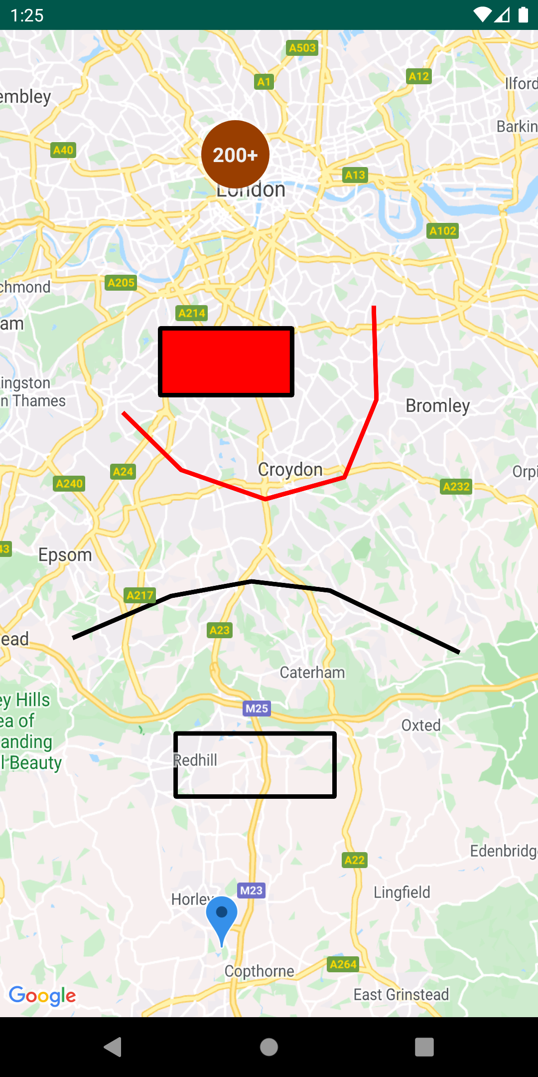
Add heatmaps to your mapHeatmaps make it easy for viewers to understand the distribution and
relative intensity of data points on a map. Rather than placing a marker at
each location, heatmaps use color and shape to represent the distribution
of the data. Create a For details, see the documentation on the Google Maps Android Heatmap Utility. |
|
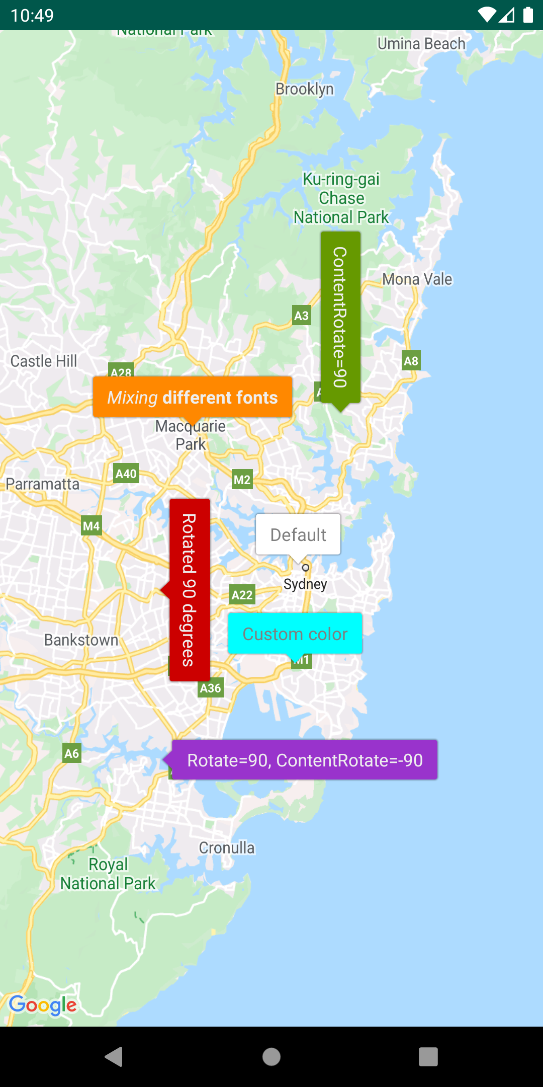
Customize markers via bubble iconsAdd a |
|
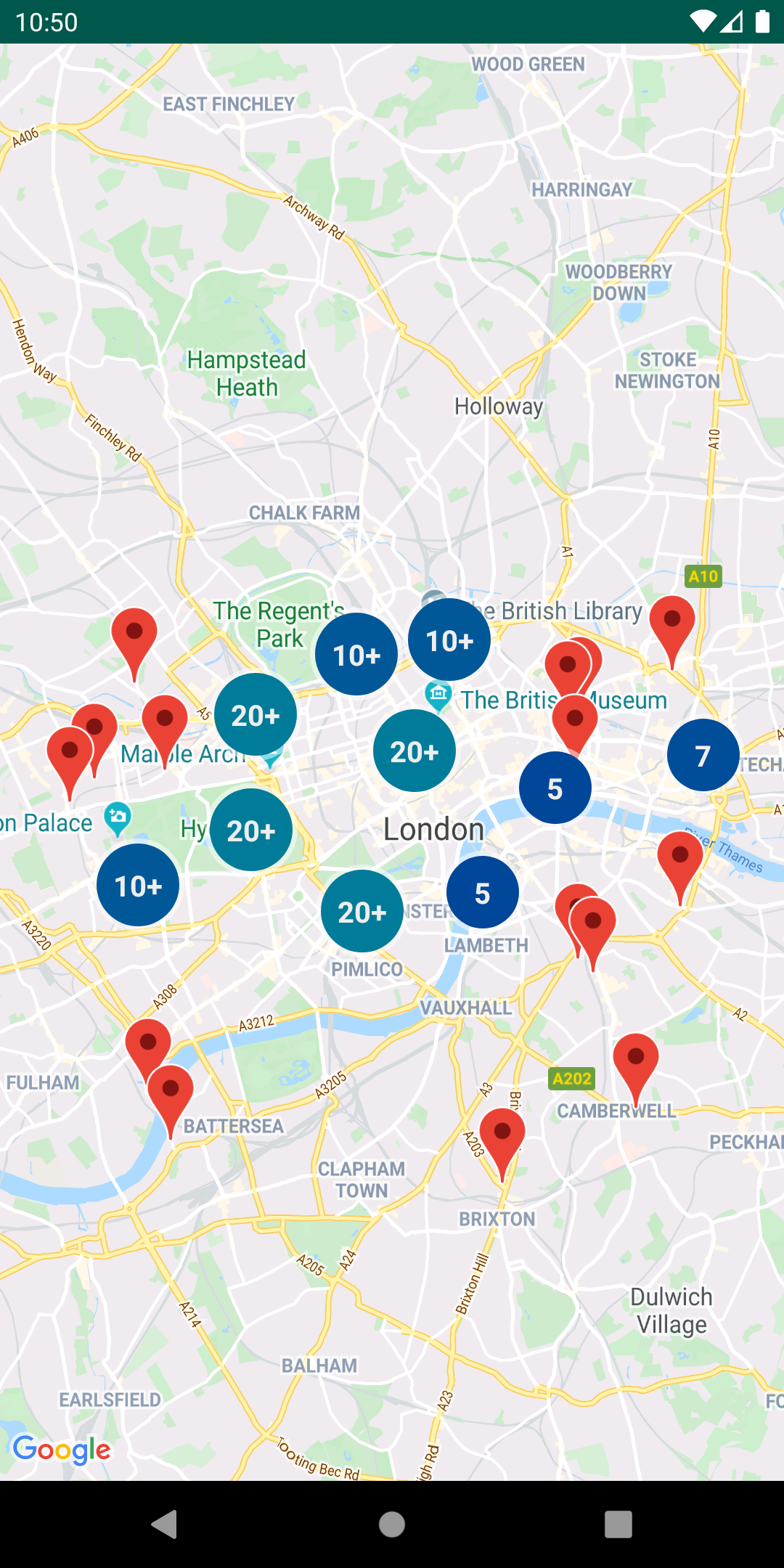
Manage marker clustersThe For details, see the documentation on the Google Maps Android Marker Clustering Utility. |
|
Add multiple layers to the same mapYou can show features from GeoJSON, KML, and clusters — as well as your
own markers, polylines, and polygons — all on the same map. These layers
can also be made interactive by adding a click listener to each layer.
Simply instantiate the For details, see the documentation on the Google Maps Android Multi Layer Demo. |
|
Encode and decode polylinesThe In Google Maps, the latitude and longitude coordinates that define a polyline or polygon are stored as an encoded string. See the detailed explanation of polyline encoding. You may receive this encoded string in a response from a Google API, such as the Directions API. You can use |
|
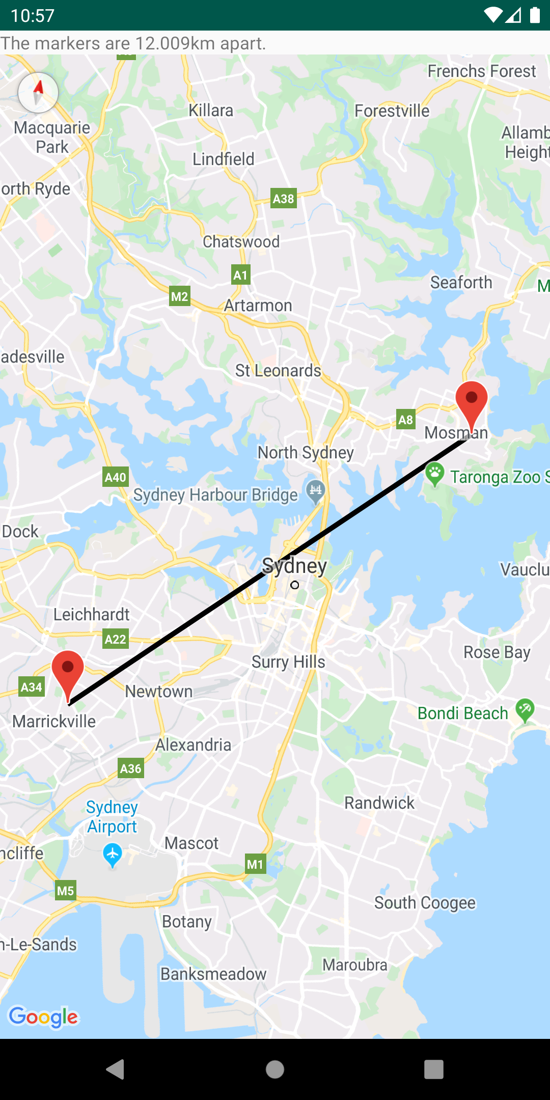
Calculate distances, areas and headings via spherical geometryUsing the spherical geometry utilities in
Refer to the reference documentation for a full list of methods in the utility. |
|
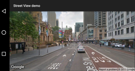
Check if a location is supported in Street View.The For details, see the documentation on the Street View metadata utility on GitHub. |