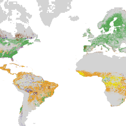
Page Summary
-
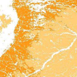
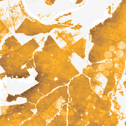
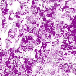
Multiple datasets are available that provide estimated per-pixel probability of areas being occupied by commodities like Cocoa, Coffee, Palm, and Rubber Tree at 10 meter resolution.
-
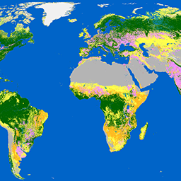
Global land cover and land use datasets are provided at varying resolutions (10m, 30m, 1km) and timeframes (2000-2024), including dynamic near-real-time data and historical change detection products.
-
Specific datasets are available for detailed agricultural mapping, such as a China terrace map, global oil palm plantations, and global grassland extent and probability maps.
-
Data relating to forest change and loss drivers globally are available at 1 km resolution from 2001 onwards.
-
Datasets like LUCAS provide detailed in-situ land cover and land use information for the European Union.
-
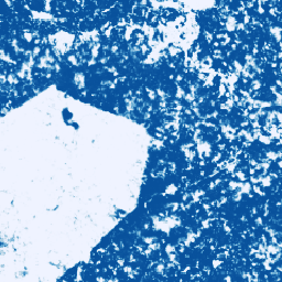
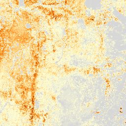
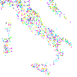
Cocoa Probability model 2025a

This image collection provides estimated per-pixel probability that the underlying area is occupied by the commodity. The probability estimates are provided at 10 meter resolution, and have been generated by a machine learning model. For details, see the technical documentation on the Forest Data Partnership … agriculture biodiversity cocoa conservation crop eudr -
Cocoa Probability model 2025b
This image collection provides estimated per-pixel probability that the underlying area is occupied by the commodity. The probability estimates are provided at 10 meter resolution, and have been generated by a machine learning model. For details, see the technical documentation on the Forest Data Partnership … agriculture alphaearth-derived biodiversity cocoa conservation crop -
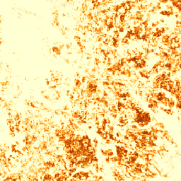
Coffee Probability model 2025a

This image collection provides estimated per-pixel probability that the underlying area is occupied by the commodity. The probability estimates are provided at 10 meter resolution, and have been generated by a machine learning model. For details, see the technical documentation on the Forest Data Partnership … agriculture biodiversity coffee conservation crop eudr -
Coffee Probability model 2025b
This image collection provides estimated per-pixel probability that the underlying area is occupied by the commodity. The probability estimates are provided at 10 meter resolution, and have been generated by a machine learning model. For details, see the technical documentation on the Forest Data Partnership … agriculture alphaearth-derived biodiversity coffee conservation crop -
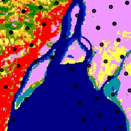
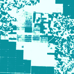
DESS China Terrace Map v1
This dataset is a China terrace map at 30 m resolution in 2018. It was developed through supervised pixel-based classification using multisource and multi-temporal data based on the Google Earth Engine platform. The overall accuracy and kappa coefficient achieved 94% and 0.72, respectively. This first … agriculture landcover landuse landuse-landcover tsinghua -
Dynamic World V1
Dynamic World is a 10m near-real-time (NRT) Land Use/Land Cover (LULC) dataset that includes class probabilities and label information for nine classes. Dynamic World predictions are available for the Sentinel-2 L1C collection from 2015-06-27 to present. The revisit frequency of Sentinel-2 is between 2-5 days … global google landcover landuse landuse-landcover nrt -
ESA WorldCover 10m v100
The European Space Agency (ESA) WorldCover 10 m 2020 product provides a global land cover map for 2020 at 10 m resolution based on Sentinel-1 and Sentinel-2 data. The WorldCover product comes with 11 land cover classes and has been generated in the framework of … esa landcover landuse landuse-landcover sentinel1-derived sentinel2-derived -
ESA WorldCover 10m v200

The European Space Agency (ESA) WorldCover 10 m 2021 product provides a global land cover map for 2021 at 10 m resolution based on Sentinel-1 and Sentinel-2 data. The WorldCover product comes with 11 land cover classes and has been generated in the framework of … esa landcover landuse landuse-landcover sentinel1-derived sentinel2-derived -
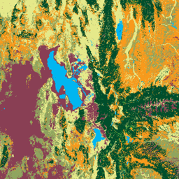
GPW Annual Dominant Class of Grasslands v1
This dataset provides global annual dominant class maps of grasslands (cultivated and natural/semi-natural) from 2000 to 2022 at 30-m spatial resolution. Produced by the Land & Carbon Lab Global Pasture Watch initiative, the mapped grassland extent includes any land cover type, which contains at least … global global-pasture-watch land landcover landuse landuse-landcover -
GPW Annual Probabilities of Cultivated Grasslands v1
This dataset provides global annual probability maps of cultivated grassland from 2000 to 2022 at 30-m spatial resolution. Produced by the Land & Carbon Lab Global Pasture Watch initiative, the mapped grassland extent includes any land cover type, which contains at least 30% of dry … global global-pasture-watch land landcover landuse landuse-landcover -
GPW Annual Probabilities of Natural/Semi-natural Grasslands v1
This dataset provides global annual probability maps of natural/semi-natural grassland from 2000 to 2022 at 30-m spatial resolution. Produced by the Land & Carbon Lab Global Pasture Watch initiative, the mapped grassland extent includes any land cover type, which contains at least 30% of dry … global global-pasture-watch land landcover landuse landuse-landcover -
GPW Annual livestock headcount FAOSTAT-adjusted v1
This dataset provides global livestock headcount from 2000 to 2022 at 1-km spatial resolution. Produced by the Land & Carbon Lab’s Global Pasture Watch initiative, the current dataset provides global headcount predictions adjusted to FAOSTAT national statistics. The dataset is based on the largest known … agriculture global global-pasture-watch gpw land landuse -
GPW Annual uncalibrated Gross Primary Productivity (uGPP) v1
This dataset provides global uncalibrated EO-based Gross Primary Productivity from 2000 at 30-m spatial resolution. Produced by the Land & Carbon Lab Global Pasture Watch initiative, the current dataset provides Gross Primary Productivity (GPP) values globally at 30-m spatial resolution from 2000 onwards. GPP values … global global-pasture-watch land landcover landuse plant-productivity -
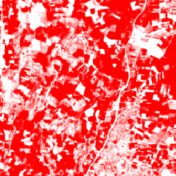
Global Map of Oil Palm Plantations
The dataset is a 10m global industrial and smallholder oil palm map for 2019. It covers areas where oil palm plantations were detected. The classified images are the output of a convolutional neural network based on Sentinel-1 and Sentinel-2 half-year composites. See article for additional … agriculture biodiversity conservation crop global landuse -
Google Global Landsat-based CCDC Segments (1999-2019)
This collection contains precomputed results from running the Continuous Change Detection and Classification (CCDC) algorithm on 20 years of Landsat surface reflectance data. CCDC is a break-point finding algorithm that uses harmonic fitting with a dynamic RMSE threshold to detect breakpoints in time-series data. The … change-detection google landcover landsat-derived landuse landuse-landcover -
LUCAS Copernicus (Polygons with attributes, 2018) V1
The Land Use/Cover Area frame Survey (LUCAS) in the European Union (EU) was set up to provide statistical information. It represents a triennial in-situ landcover and land-use data-collection exercise that extends over the whole of the EU's territory. LUCAS collects information on land cover and … copernicus eu jrc landcover landuse landuse-landcover -
LUCAS Harmonized (Theoretical Location, 2006-2018) V1
The Land Use/Cover Area frame Survey (LUCAS) in the European Union (EU) was set up to provide statistical information. It represents a triennial in-situ landcover and land-use data-collection exercise that extends over the whole of the EU's territory. LUCAS collects information on land cover and … eu jrc landcover landuse landuse-landcover lucas -
LUCAS THLOC (Points with attributes, 2022) V1
The Land Use/Cover Area frame Survey (LUCAS) in the European Union (EU) was set up to provide statistical information. It represents a triennial in-situ landcover and land-use data-collection exercise that extends over the whole of the EU's territory. LUCAS collects information on land cover and … eu jrc landcover landuse landuse-landcover lucas -
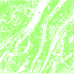
Palm Probability model 2025a
This image collection provides estimated per-pixel probability that the underlying area is occupied by the commodity. The probability estimates are provided at 10 meter resolution, and have been generated by a machine learning model. For details, see the technical documentation on the Forest Data Partnership … agriculture biodiversity conservation crop eudr forestdatapartnership -
Palm Probability model 2025b
This image collection provides estimated per-pixel probability that the underlying area is occupied by the commodity. The probability estimates are provided at 10 meter resolution, and have been generated by a machine learning model. For details, see the technical documentation on the Forest Data Partnership … agriculture alphaearth-derived biodiversity conservation crop eudr -
Rubber Probability model 2025b
This image collection provides estimated per-pixel probability that the underlying area is occupied by the commodity. The probability estimates are provided at 10 meter resolution, and have been generated by a machine learning model. For details, see the technical documentation on the Forest Data Partnership … agriculture alphaearth-derived biodiversity conservation crop eudr -
Rubber Tree Probability model 2025a
This image collection provides estimated per-pixel probability that the underlying area is occupied by the commodity. The probability estimates are provided at 10 meter resolution, and have been generated by a machine learning model. For details, see the technical documentation on the Forest Data Partnership … agriculture biodiversity conservation crop eudr forestdatapartnership -
USFS Landscape Change Monitoring System v2025-11 (CONUS and OCONUS)
This product is part of the Landscape Change Monitoring System (LCMS) data suite. It shows LCMS-modeled change, land cover, and/or land use classes for each year and covers the Conterminous United States (CONUS) as well as areas outside the CONUS (OCONUS) including Alaska (AK), Puerto … change-detection forest gtac gtac-data-publish landcover landuse -
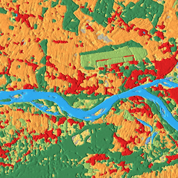
WRI/Google DeepMind Global Drivers of Forest Loss 2001-2022 v1.0

This dataset maps the dominant driver of tree cover loss from 2001-2022 globally at 1 km resolution. Produced by the World Resources Institute (WRI) and Google DeepMind, the data were developed using a global neural network model (ResNet) trained on a set of samples collected … agriculture deforestation forest forest-biomass google landandcarbon -
WRI/Google DeepMind Global Drivers of Forest Loss 2001-2023 v1.1

This dataset maps the dominant driver of tree cover loss from 2001-2023 globally at 1 km resolution. Produced by the World Resources Institute (WRI) and Google DeepMind, the data were developed using a global neural network model (ResNet) trained on a set of samples collected … agriculture deforestation forest forest-biomass google landandcarbon -
WRI/Google DeepMind Global Drivers of Forest Loss 2001-2024 v1.2

This dataset maps the dominant driver of tree cover loss from 2001-2024 globally at 1 km resolution. Produced by the World Resources Institute (WRI) and Google DeepMind, the data were developed using a global neural network model (ResNet) trained on a set of samples collected … agriculture deforestation forest forest-biomass google landandcarbon -
WRI/Google DeepMind Global Drivers of Forest Loss 2001-2025 v1.3
This dataset maps the dominant driver of tree cover loss from 2001-2025 globally at 1 km resolution. Produced by the World Resources Institute (WRI) and Google DeepMind, the data were developed using a global neural network model (ResNet) trained on a set of samples collected … agriculture deforestation forest forest-biomass google landandcarbon