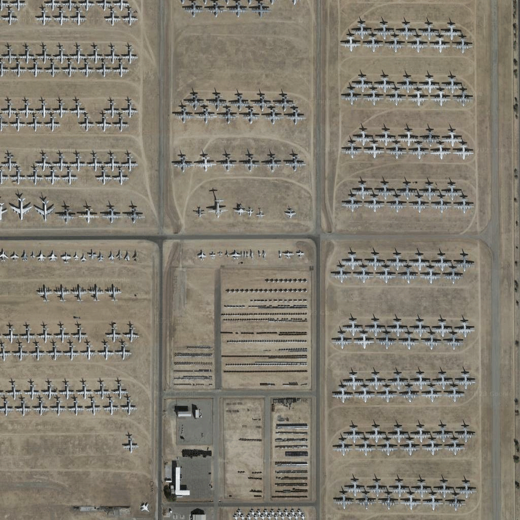
[[["เข้าใจง่าย","easyToUnderstand","thumb-up"],["แก้ปัญหาของฉันได้","solvedMyProblem","thumb-up"],["อื่นๆ","otherUp","thumb-up"]],[["ไม่มีข้อมูลที่ฉันต้องการ","missingTheInformationINeed","thumb-down"],["ซับซ้อนเกินไป/มีหลายขั้นตอนมากเกินไป","tooComplicatedTooManySteps","thumb-down"],["ล้าสมัย","outOfDate","thumb-down"],["ปัญหาเกี่ยวกับการแปล","translationIssue","thumb-down"],["ตัวอย่าง/ปัญหาเกี่ยวกับโค้ด","samplesCodeIssue","thumb-down"],["อื่นๆ","otherDown","thumb-down"]],["อัปเดตล่าสุด 2026-05-13 UTC"],[],["Satellite image tiles are top-down images from satellite or airborne cameras. To obtain them, first, request a session token via a POST request, including map type, language, and region. Then, make an HTTPS GET request to retrieve a specific tile by providing zoom level, x and y coordinates, session token, and API key. The requested tile is downloaded directly to a local file without a server response message. An example demonstrates getting a tile at zoom 15 with coordinates (6294, 13288).\n"]]

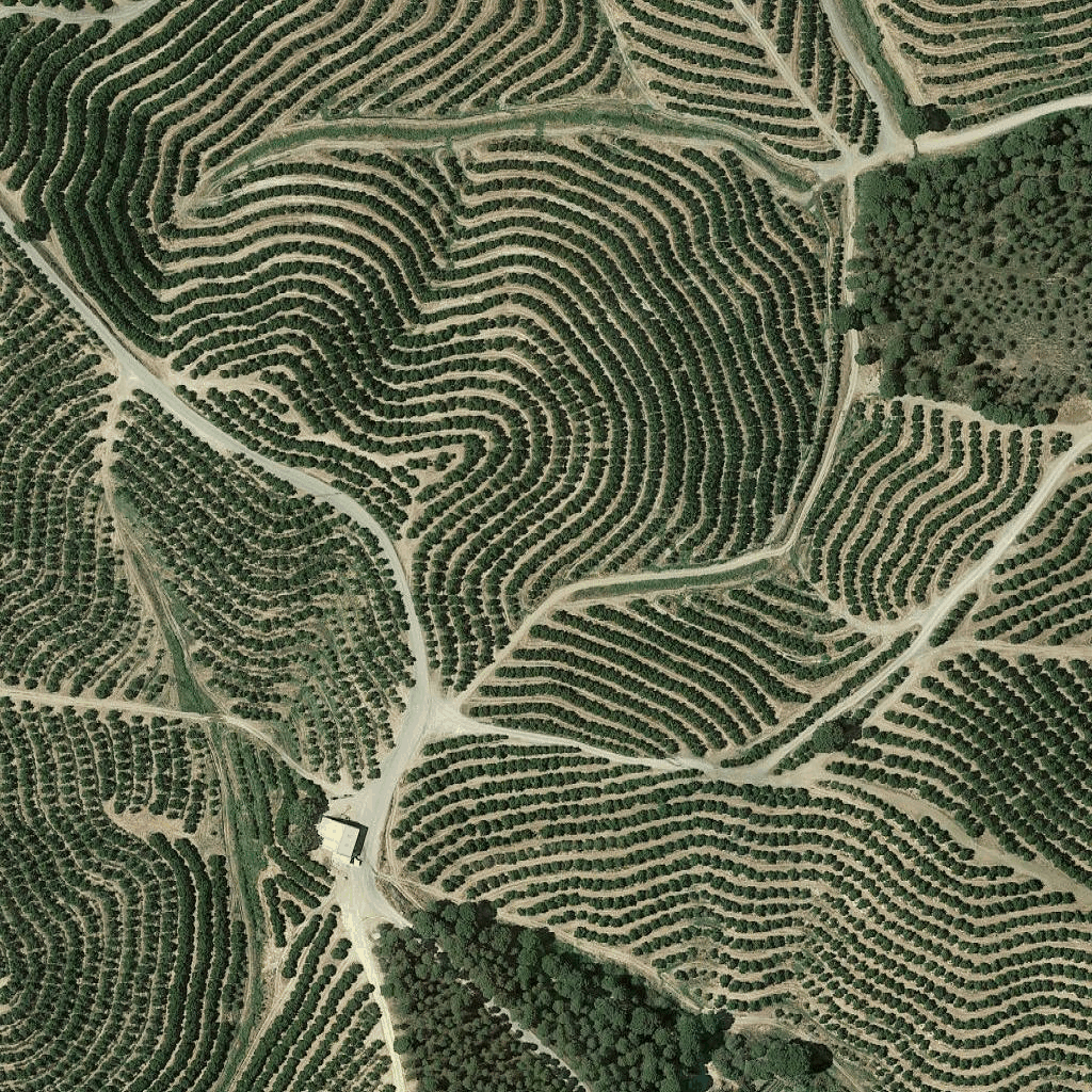 ไทล์ภาพถ่ายดาวเทียมเป็นรูปแบบหนึ่งของภาพถ่ายออร์โธ ภาพเหล่านี้เป็นภาพที่ถ่ายโดยกล้องทั้งบนดาวเทียมและในอากาศ และแสดงภาพจากด้านบน (จุดที่ต่ำที่สุดหรือใกล้จุดที่ต่ำที่สุด) ของโลก