Page Summary
-
MCD19A1.061 provides daily land surface BRF data at 500m and 1km resolution from Terra and Aqua MODIS.
-
MCD19A2.061 offers daily land aerosol optical depth data at 1km resolution from Terra and Aqua MODIS using the MAIAC method.
-
Both datasets are Level 2, gridded products from MODIS Terra and Aqua combined.
-
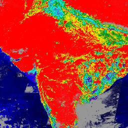
MCD19A1.061: Land Surface BRF Daily L2G Global 500m and 1km

The MCD19A1 Version 6.1 data product is a Moderate Resolution Imaging Spectroradiometer (MODIS) Terra and Aqua combined Land Surface Bidirectional Reflectance Factor (BRF) gridded Level 2 product produced daily at 500 meter and 1 kilometer resolution. For more information see the MAIAC user guide. aerosol aod aqua daily global maiac -
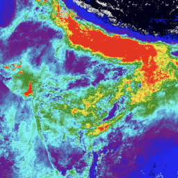
MCD19A2.061: Terra & Aqua MAIAC Land Aerosol Optical Depth Daily 1km

The MCD19A2 V6.1 data product is a MODIS Terra and Aqua combined Multi-angle Implementation of Atmospheric Correction (MAIAC) Land Aerosol Optical Depth (AOD) gridded Level 2 product produced daily at 1 km resolution. For more information see the MAIAC user guide. NOTE: This product has … aerosol aod aqua atmosphere daily global