[[["เข้าใจง่าย","easyToUnderstand","thumb-up"],["แก้ปัญหาของฉันได้","solvedMyProblem","thumb-up"],["อื่นๆ","otherUp","thumb-up"]],[["ไม่มีข้อมูลที่ฉันต้องการ","missingTheInformationINeed","thumb-down"],["ซับซ้อนเกินไป/มีหลายขั้นตอนมากเกินไป","tooComplicatedTooManySteps","thumb-down"],["ล้าสมัย","outOfDate","thumb-down"],["ปัญหาเกี่ยวกับการแปล","translationIssue","thumb-down"],["ตัวอย่าง/ปัญหาเกี่ยวกับโค้ด","samplesCodeIssue","thumb-down"],["อื่นๆ","otherDown","thumb-down"]],["อัปเดตล่าสุด 2026-05-31 UTC"],[],["Terrain tiles, which include hillshade mapping, contour lines, and natural features, are accessed by first obtaining a session token via a POST request specifying the map type, language, region, and layer types. Subsequently, tiles are retrieved with HTTPS GET requests, providing the zoom level (z), x and y coordinates, and the session token. An example demonstrates requesting a tile at zoom level 10, with coordinates (192, 401). The tile data downloads to a local file, without a server response message.\n"]]

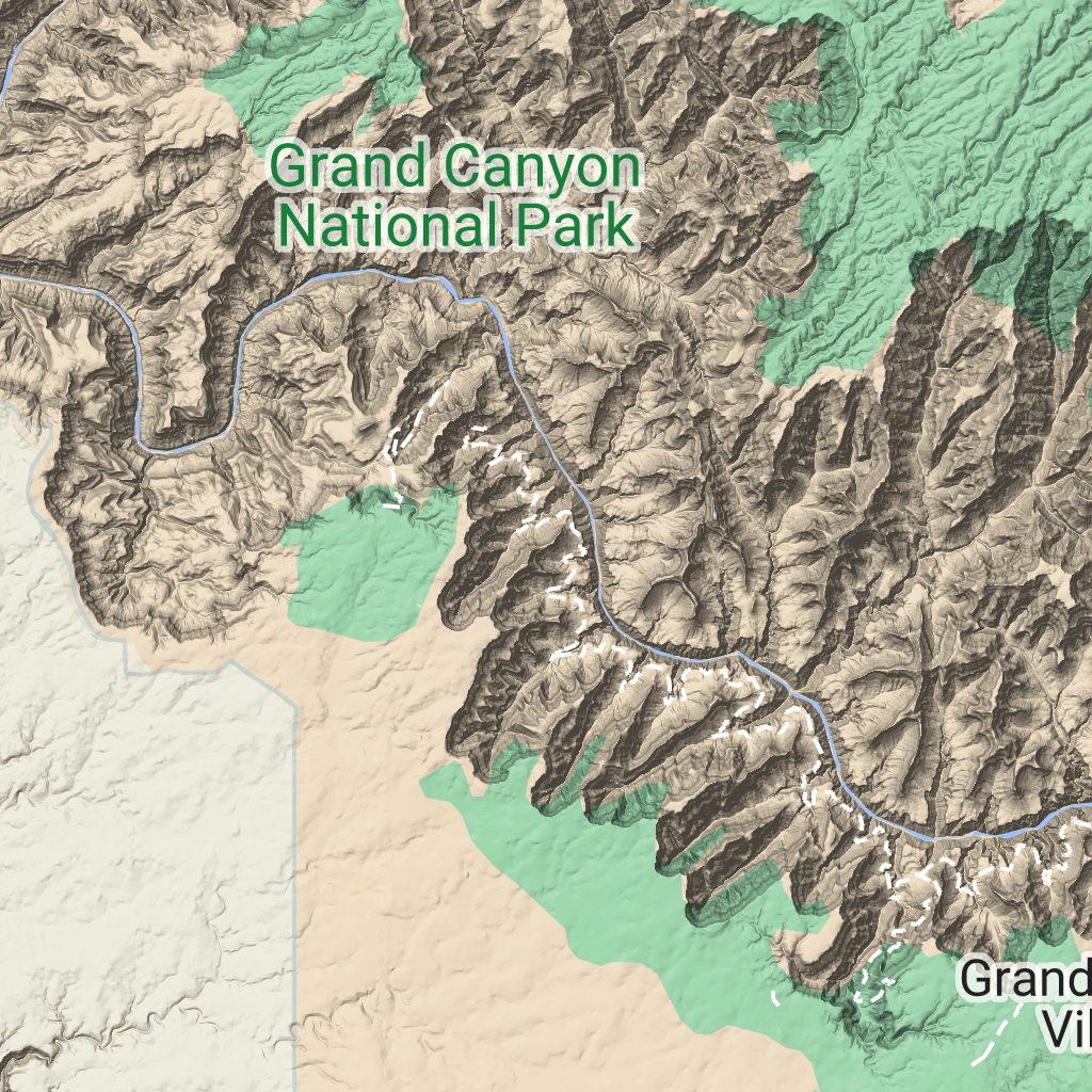
 ไทล์ภูมิประเทศคือไทล์รูปภาพที่มีการทำแผนที่ภาพเนินเขา
และเส้นชั้นความสูง ซึ่งรวมถึงลักษณะทางธรรมชาติ เช่น พืชพรรณ
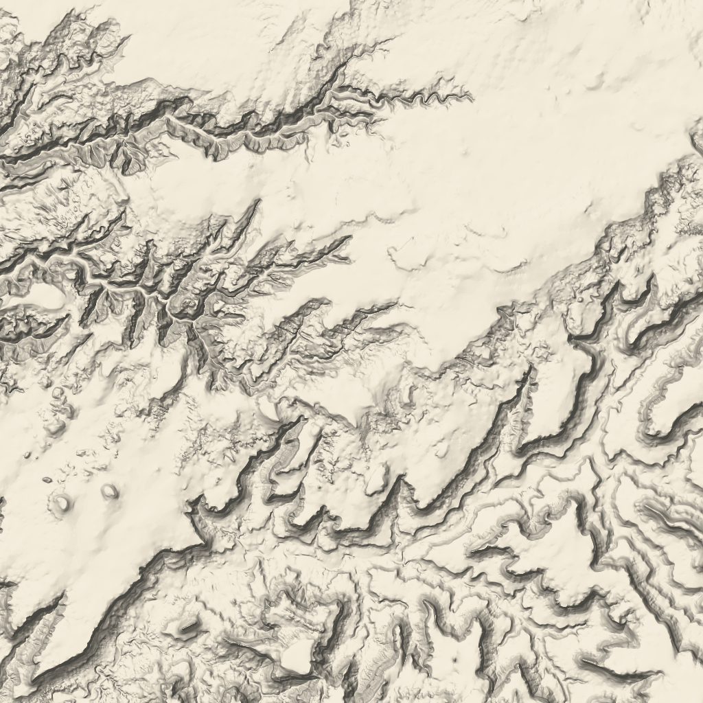
ไทล์ภูมิประเทศคือไทล์รูปภาพที่มีการทำแผนที่ภาพเนินเขา
และเส้นชั้นความสูง ซึ่งรวมถึงลักษณะทางธรรมชาติ เช่น พืชพรรณ