Page Summary
-
GCOM-C/SGLI provides sea surface temperature data in multiple versions, including V1, V2, and the ongoing V3.
-
The Hybrid Coordinate Ocean Model (HYCOM) dataset includes interpolated data on salinity, temperature, velocity, and elevation.
-
NOAA offers several sea surface temperature datasets, such as the AVHRR Pathfinder V5.3, the daily Optimum Interpolation Sea Surface Temperature (OISST), and the high-quality Sea Surface Temperature - WHOI dataset.
-
Ocean Color SMI provides Level 3 ocean color and satellite ocean biology data from MODIS Aqua and Terra.
-
GCOM-C/SGLI L3 Sea Surface Temperature (V1)
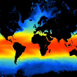
This product is the temperature of sea surface. A newer version JAXA/GCOM-C/L3/OCEAN/SST/V3 is also available for this dataset which uses this algorithm for processing. GCOM-C conducts long-term and continuous global observation and data collection to elucidate the mechanism behind fluctuations in radiation budget and carbon … climate g-portal gcom gcom-c jaxa ocean -
GCOM-C/SGLI L3 Sea Surface Temperature (V2)
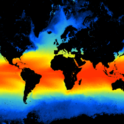
This product is the temperature of sea surface. For data after 2021-11-28, see the V3 dataset. GCOM-C conducts long-term and continuous global observation and data collection to elucidate the mechanism behind fluctuations in radiation budget and carbon cycle needed to make accurate projections regarding future … climate g-portal gcom gcom-c jaxa ocean -
GCOM-C/SGLI L3 Sea Surface Temperature (V3)
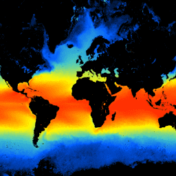
This product is the temperature of sea surface. This is an ongoing dataset with a latency of 3-4 days. GCOM-C conducts long-term and continuous global observation and data collection to elucidate the mechanism behind fluctuations in radiation budget and carbon cycle needed to make accurate … climate g-portal gcom gcom-c jaxa ocean -
HYCOM: Hybrid Coordinate Ocean Model, Water Temperature and Salinity
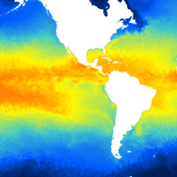
The Hybrid Coordinate Ocean Model (HYCOM) is a data-assimilative hybrid isopycnal-sigma-pressure (generalized) coordinate ocean model. The subset of HYCOM data hosted in EE contains the variables salinity, temperature, velocity, and elevation. They have been interpolated to a uniform 0.08 degree lat/long grid between 80.48°S and … hycom nopp ocean oceans sst water -
NOAA AVHRR Pathfinder Version 5.3 Collated Global 4km Sea Surface Temperature
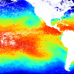
The AVHRR Pathfinder Version 5.3 Sea Surface Temperature dataset (PFV53) is a collection of global, twice-daily 4km sea surface temperature data produced in a partnership by the NOAA National Oceanographic Data Center and the University of Miami's Rosenstiel School of Marine and Atmospheric Science. PFV53 … avhrr noaa oceans sst temperature wind -
NOAA CDR OISST v02r01: Optimum Interpolation Sea Surface Temperature
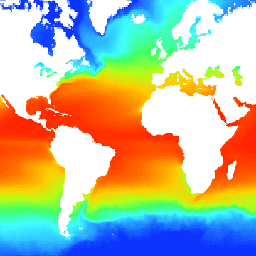
The NOAA 1/4 degree daily Optimum Interpolation Sea Surface Temperature (OISST) provides complete ocean temperature fields constructed by combining bias-adjusted observations from different platforms (satellite, ships, buoys) on a regular global grid, with gaps filled in by interpolation. Satellite data from the Advanced Very High … avhrr cdr daily ice noaa ocean -
NOAA CDR WHOI: Sea Surface Temperature, Version 2
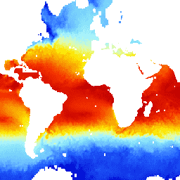
The Sea Surface Temperature - WHOI dataset is part of the NOAA Ocean Surface Bundle (OSB) and provides a high quality Climate Data Record (CDR) of sea surface temperature over ice-free oceans. The SST values are found through modeling the diurnal variability in combination with … atmospheric cdr hourly noaa ocean oceans -
Ocean Color SMI: Standard Mapped Image MODIS Aqua Data
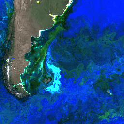
This level 3 product includes ocean color and satellite ocean biology data produced or collected under EOSDIS. This dataset may be used for studying the biology and hydrology of coastal zones, changes in the diversity and geographical distribution of coastal marine habitats, biogeochemical fluxes and … biology chlorophyll modis nasa ocean oceandata -
Ocean Color SMI: Standard Mapped Image MODIS Terra Data
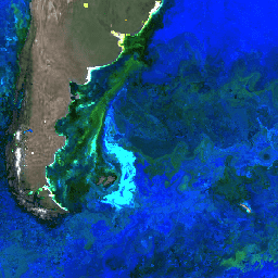
This level 3 product includes ocean color and satellite ocean biology data produced or collected under EOSDIS. This dataset may be used for studying the biology and hydrology of coastal zones, changes in the diversity and geographical distribution of coastal marine habitats, biogeochemical fluxes and … biology chlorophyll modis nasa ocean oceandata