Page Summary
-
The FLDAS dataset is designed to help with food security assessments in developing countries by providing information on climate-related variables.
-
The FireCCI51 product offers monthly global data on burned areas at approximately 250m spatial resolution.
-
Global Fishing Watch provides daily data on fishing effort and vessel presence, measured in hours, with information broken down by flag state and gear type.
-
The Global Precipitation Measurement (GPM) mission provides next-generation observations of global rain and snow, with the IMERG algorithm offering unified rainfall estimates.
-
JRC Monthly Water History and Recurrence datasets map the location and temporal distribution of surface water and provide statistics on its extent and change.
-
FLDAS: Famine Early Warning Systems Network (FEWS NET) Land Data Assimilation System
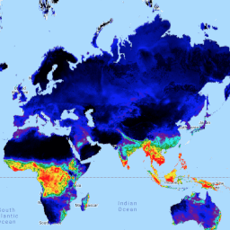
The FLDAS dataset (McNally et al. 2017), was designed to assist with food security assessments in data-sparse, developing country settings. It includes information on many climate-related variables including moisture content, humidity, evapotranspiration, average soil temperature, total precipitation rate, etc. There are multiple different FLDAS datasets; … climate cryosphere evapotranspiration humidity ldas monthly -
FireCCI51: MODIS Fire_cci Burned Area Pixel Product, Version 5.1
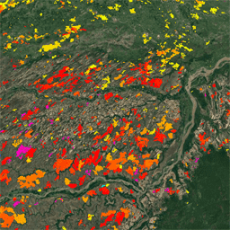
The MODIS Fire_cci Burned Area pixel product version 5.1 (FireCCI51) is a monthly global ~250m spatial resolution dataset containing information on burned area as well as ancillary data. It is based on surface reflectance in the Near Infrared (NIR) band from the MODIS instrument onboard … burn climate-change copernicus esa fire fragmentation -
GFW (Global Fishing Watch) Daily Fishing Hours
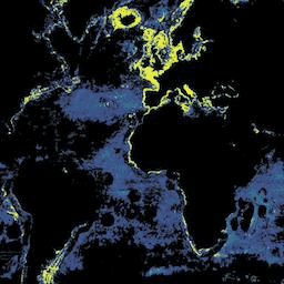
Fishing effort, measured in hours of inferred fishing activity. Each asset is the effort for a given flag state and day, with one band for the fishing activity of each gear type. See sample Earth Engine scripts. Also see the main GFW site for program … fishing gfw marine monthly ocean oceans -
GFW (Global Fishing Watch) Daily Vessel Hours
Fishing vessel presence, measured in hours per square km. Each asset is the vessel presence for a given flag state and day, with one band for the presence of each gear type. See sample Earth Engine scripts. Also see the main GFW site for program … fishing gfw marine monthly ocean oceans -
GPM: Monthly Global Precipitation Measurement (GPM) v6
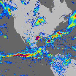
IMERG-Final version "06" stopped being produced in September, 2021. Version "07" is expected to be released in September 2022 Global Precipitation Measurement (GPM) is an international satellite mission to provide next-generation observations of rain and snow worldwide every three hours. The Integrated Multi-satellitE Retrievals for … climate geophysical gpm imerg jaxa monthly -
GPM: Monthly Global Precipitation Measurement (GPM) vRelease 07

Global Precipitation Measurement (GPM) is an international satellite mission to provide next-generation observations of rain and snow worldwide every three hours. The Integrated Multi-satellitE Retrievals for GPM (IMERG) is the unified algorithm that provides rainfall estimates combining data from all passive-microwave instruments in the GPM … climate geophysical gpm imerg jaxa monthly -
JRC Monthly Water History, v1.4
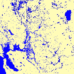
This dataset contains maps of the location and temporal distribution of surface water from 1984 to 2021 and provides statistics on the extent and change of those water surfaces. For more information see the associated journal article: High-resolution mapping of global surface water and its … geophysical google history jrc landsat-derived monthly -
JRC Monthly Water Recurrence, v1.4
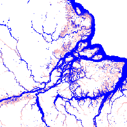
This dataset contains maps of the location and temporal distribution of surface water from 1984 to 2021 and provides statistics on the extent and change of those water surfaces. For more information see the associated journal article: High-resolution mapping of global surface water and its … geophysical google history jrc landsat-derived monthly -
MACAv2-METDATA Monthly Summaries: University of Idaho, Multivariate Adaptive Constructed Analogs Applied to Global Climate Models
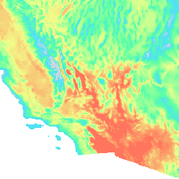
The MACAv2-METDATA dataset is a collection of 20 global climate models covering the conterminous USA. The Multivariate Adaptive Constructed Analogs (MACA) method is a statistical downscaling method which utilizes a training dataset (i.e. a meteorological observation dataset) to remove historical biases and match spatial patterns … climate conus geophysical idaho maca monthly -
MACAv2-METDATA: University of Idaho, Multivariate Adaptive Constructed Analogs Applied to Global Climate Models
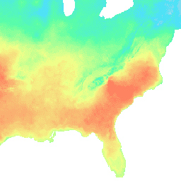
The MACAv2-METDATA dataset is a collection of 20 global climate models covering the conterminous USA. The Multivariate Adaptive Constructed Analogs (MACA) method is a statistical downscaling method which utilizes a training dataset (i.e. a meteorological observation dataset) to remove historical biases and match spatial patterns … climate conus geophysical idaho maca monthly -
MCD64A1.061 MODIS Burned Area Monthly Global 500m
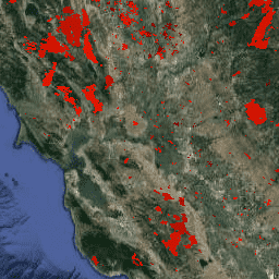
The Terra and Aqua combined MCD64A1 Version 6.1 Burned Area data product is a monthly, global gridded 500m product containing per-pixel burned-area and quality information. The MCD64A1 burned-area mapping approach employs 500m MODIS Surface Reflectance imagery coupled with 1km MODIS active fire observations. The algorithm … burn change-detection fire geophysical global mcd64a1 -
MOD08_M3.061 Terra Atmosphere Monthly Global Product
MOD08_M3 V6.1 is an atmosphere global product that contains monthly 1 x 1 degree grid average values of atmospheric parameters. These parameters are related to atmospheric aerosol particle properties, total ozone burden, atmospheric water vapor, cloud optical and physical properties, and atmospheric stability indices. The … atmosphere climate geophysical global modis monthly -
MOD13A3.061 Vegetation Indices Monthly L3 Global 1 km SIN Grid
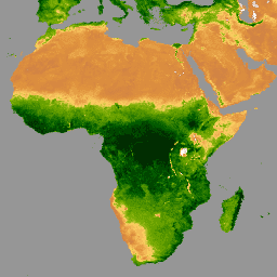
The MOD13A3 V6.1 product data is provided monthly at 1 kilometer (km) spatial resolution. In generating this monthly product, the algorithm ingests all the MOD13A2 products that overlap the month and employs a weighted temporal average. Vegetation indices are used for global monitoring of vegetation … evi global modis monthly nasa ndvi -
MOD21C3.061 Terra Land Surface Temperature and 3-Band Emissivity Monthly L3 Global 0.05 Deg CMG
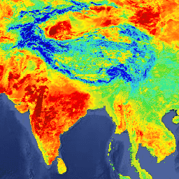
The MOD21C3 dataset is a monthly composite LST product that uses an algorithm based on a simple averaging method. The algorithm calculates the average from all the cloud free MOD21A1D and MOD21A1N daily acquisitions from the 8-day period. Unlike the MOD21A1 data sets where the … climate emissivity global lst monthly nasa -
MYD08_M3.061 Aqua Atmosphere Monthly Global Product
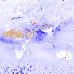
MYD08_M3 V6.1 is an atmosphere global product that contains monthly 1 x 1 degree grid average values of atmospheric parameters. These parameters are related to atmospheric aerosol particle properties, total ozone burden, atmospheric water vapor, cloud optical and physical properties, and atmospheric stability indices. The … aqua atmosphere climate geophysical global modis -
MYD13A3.061 Aqua Vegetation Indices Monthly L3 Global 1 km SIN Grid
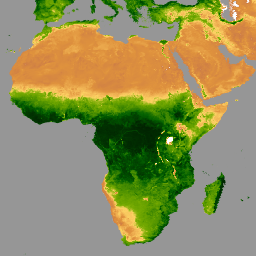
The Aqua Moderate Resolution Imaging Spectroradiometer (MODIS) Vegetation Indices (MYD13A3) Version 6.1 data are provided monthly at 1 kilometer (km) spatial resolution as a gridded Level 3 product in the sinusoidal projection. In generating this monthly product, the algorithm ingests all the MYD13A2 products that … aqua evi global modis monthly nasa -
MYD21C3.061 Aqua Land Surface Temperature and 3-Band Emissivity Monthly L3 Global 0.05 Deg CMG
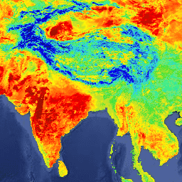
The MYD21C3 dataset is a monthly composite LST product that uses an algorithm based on a simple averaging method. The algorithm calculates the average from all the cloud free MYD21A1D and MYD21A1N daily acquisitions from the 8-day period. Unlike the MYD21A1 data sets where the … aqua climate emissivity global lst monthly -
OpenET DisALEXI Monthly Evapotranspiration v2.0
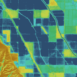
Atmosphere-Land Exchange Inverse / Disaggregation of the Atmosphere-Land Exchange Inverse (ALEXI/DisALEXI) DisALEXI was recently ported to Google Earth Engine as part of the OpenET framework and the baseline ALEXI/DisALEXI model structure is described by Anderson et al. (2012, 2018). The ALEXI evapotranspiration (ET) model specifically … evapotranspiration gridmet-derived landsat-derived monthly openet water -
OpenET Ensemble Monthly Evapotranspiration v2.0
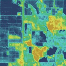
The OpenET dataset includes satellite-based data on the total amount of water that is transferred from the land surface to the atmosphere through the process of evapotranspiration (ET). OpenET provides ET data from multiple satellite-driven models, and also calculates a single "ensemble value" from the … evapotranspiration gridmet-derived landsat-derived monthly openet water -
OpenET PT-JPL Monthly Evapotranspiration v2.0
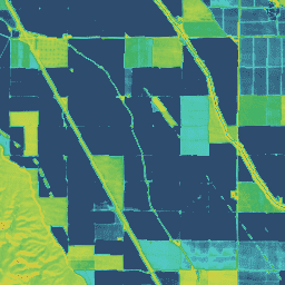
Priestley-Taylor Jet Propulsion Laboratory (PT-JPL) The core formulation of the PT-JPL model within the OpenET framework has not changed from the original formulation detailed in Fisher et al. (2008). However, enhancements and updates to model inputs and time integration for PT-JPL were made to take … evapotranspiration gridmet-derived landsat-derived monthly openet water -
OpenET SIMS Monthly Evapotranspiration v2.0
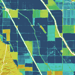
Satellite Irrigation Management Support The NASA Satellite Irrigation Management Support (SIMS) model was originally developed to support satellite mapping of crop coefficients and evapotranspiration (ET) from irrigated lands and to increase access to this data to support use in irrigation scheduling and regional assessment of … evapotranspiration gridmet-derived landsat-derived monthly openet water -
OpenET SSEBop Monthly Evapotranspiration v2.0
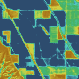
Operational Simplified Surface Energy Balance (SSEBop) The Operational Simplified Surface Energy Balance (SSEBop) model by Senay et al. (2013, 2017) is a thermal-based simplified surface energy model for estimating actual ET based on the principles of satellite psychrometry (Senay 2018). The OpenET SSEBop implementation uses … evapotranspiration gridmet-derived landsat-derived monthly openet water -
OpenET eeMETRIC Monthly Evapotranspiration v2.0
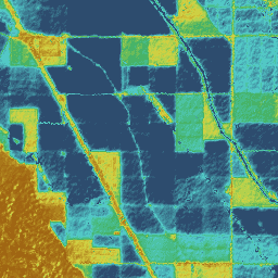
Google Earth Engine implementation of the Mapping Evapotranspiration at high Resolution with Internalized Calibration model (eeMETRIC) eeMETRIC applies the advanced METRIC algorithms and process of Allen et al. (2007; 2015) and Allen et al. (2013b), where a singular relationship between the near surface air temperature … evapotranspiration gridmet-derived landsat-derived monthly openet water -
OpenET geeSEBAL Monthly Evapotranspiration v2.0
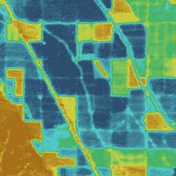
Implementation of geeSEBAL was recently completed within the OpenET framework and an overview of the current geeSEBAL version can be found in Laipelt et al. (2021), which is based on the original algorithms developed by Bastiaanssen et al. (1998). The OpenET geeSEBAL implementation uses land … evapotranspiration gridmet-derived landsat-derived monthly openet water -
OpenLandMap Long-term Land Surface Temperature Daytime Monthly Median
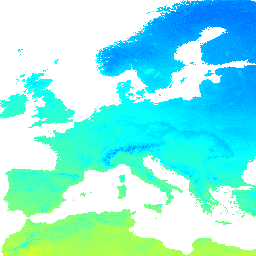
Land Surface Temperature daytime monthly mean value 2000-2017. Derived using the data.table package and quantile function in R. For more info about the MODIS LST product see this page. Antarctica is not included. To access and visualize maps outside of Earth Engine, use this page. … climate envirometrix lst mod11a2 modis monthly -
OpenLandMap Long-term Land Surface Temperature Daytime Monthly Standard Deviation
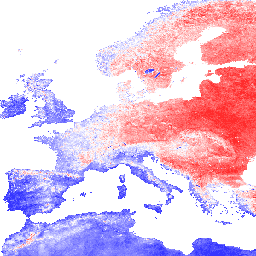
Long-term MODIS LST day-time and night-time temperatures standard deviation at 1 km based on the 2000-2017 time series. Derived using the data.table package and quantile function in R. For more info about the MODIS LST product see this page. Antarctica is not included. To access … climate envirometrix lst mod11a2 modis monthly -
OpenLandMap Long-term Land Surface Temperature Monthly Day-Night Difference
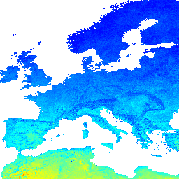
Long-term MODIS LST day-time and night-time differences at 1 km based on the 2000-2017 time series Derived using the data.table package and quantile function in R. For more info about the MODIS LST product see this page. Antarctica is not included. To access and visualize … climate day envirometrix lst mod11a2 modis -
OpenLandMap Potential FAPAR Monthly
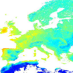
Potential Natural Vegetation FAPAR predicted monthly median (based on PROB-V FAPAR 2014-2017). Description. To access and visualize maps outside of Earth Engine, use this page. If you discover a bug, artifact or inconsistency in the LandGIS maps or if you have a question please use … envirometrix fapar monthly opengeohub openlandmap plant-productivity -
OpenLandMap Precipitation Monthly
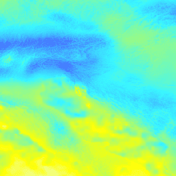
Monthly precipitation in mm at 1 km resolution based on SM2RAIN-ASCAT 2007-2018, IMERG, CHELSA Climate, and WorldClim. Downscaled to 1 km resolution using gdalwarp (cubic splines) and an average between WorldClim, CHELSA Climate, and IMERG monthly product (see, e.g, "3B-MO-L.GIS.IMERG.20180601.V05B.tif"). 3x higher weight is given … envirometrix imerg monthly opengeohub openlandmap precipitation -
PRISM Monthly Spatial Climate Dataset ANm
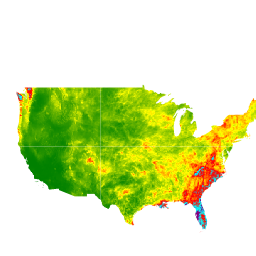
The PRISM daily and monthly datasets are gridded climate datasets for the conterminous United States, produced by the PRISM Climate Group at Oregon State University. This collection contains both AN81 and AN91 data, as indicated by the 'dataset_type' property. Grids are developed using PRISM (Parameter-elevation … climate geophysical monthly oregonstate precipitation pressure -
SPEIbase: Standardised Precipitation-Evapotranspiration Index database, Version 2.10

The Global SPEI database (SPEIbase) offers long-time robust information about drought conditions at the global scale, with a 0.5 degree pixel size and monthly cadence. It provides SPEI time scales from 1 to 48 months. The Standardized Precipitation-Evapotranspiration Index (SPEI) expresses, as a standardized variate … climate climate-change drought evapotranspiration global monthly -
TerraClimate: Monthly Climate and Climatic Water Balance for Global Terrestrial Surfaces, University of Idaho
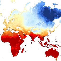
TerraClimate is a dataset of monthly climate and climatic water balance for global terrestrial surfaces. It uses climatically aided interpolation, combining high-spatial resolution climatological normals from the WorldClim dataset, with coarser spatial resolution, but time-varying data from CRU Ts4.0 and the Japanese 55-year Reanalysis (JRA55). … climate drought evapotranspiration geophysical global merced -
VIIRS Nighttime Day/Night Band Composites Version 1

Monthly average radiance composite images using nighttime data from the Visible Infrared Imaging Radiometer Suite (VIIRS) Day/Night Band (DNB). As these data are composited monthly, there are many areas of the globe where it is impossible to get good quality data coverage for that month. … dnb eog lights monthly nighttime noaa -
VIIRS Stray Light Corrected Nighttime Day/Night Band Composites Version 1

Monthly average radiance composite images using nighttime data from the Visible Infrared Imaging Radiometer Suite (VIIRS) Day/Night Band (DNB). As these data are composited monthly, there are many areas of the globe where it is impossible to get good quality data coverage for that month. … dnb eog lights monthly nighttime noaa -
WorldClim BIO Variables V1
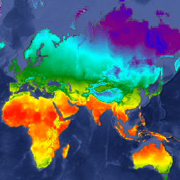
WorldClim V1 Bioclim provides bioclimatic variables that are derived from the monthly temperature and rainfall in order to generate more biologically meaningful values. The bioclimatic variables represent annual trends (e.g., mean annual temperature, annual precipitation), seasonality (e.g., annual range in temperature and precipitation), and extreme … berkeley climate monthly precipitation temperature weather -
WorldClim Climatology V1
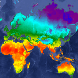
WorldClim version 1 has average monthly global climate data for minimum, mean, and maximum temperature and for precipitation. WorldClim version 1 was developed by Robert J. Hijmans, Susan Cameron, and Juan Parra, at the Museum of Vertebrate Zoology, University of California, Berkeley, in collaboration with … berkeley climate monthly precipitation temperature weather