Publisher Data Catalogs
Publisher Data Catalogs are curated by the publisher of the dataset for use by the larger Google Earth Engine community and shared publicly using Earth Engine. Google does not curate these Catalogs and is not responsible for the Catalogs, including whether they will continue to be available or whether their content is accurate and up to date. See eligibility criteria for adding new Publisher Catalogs.
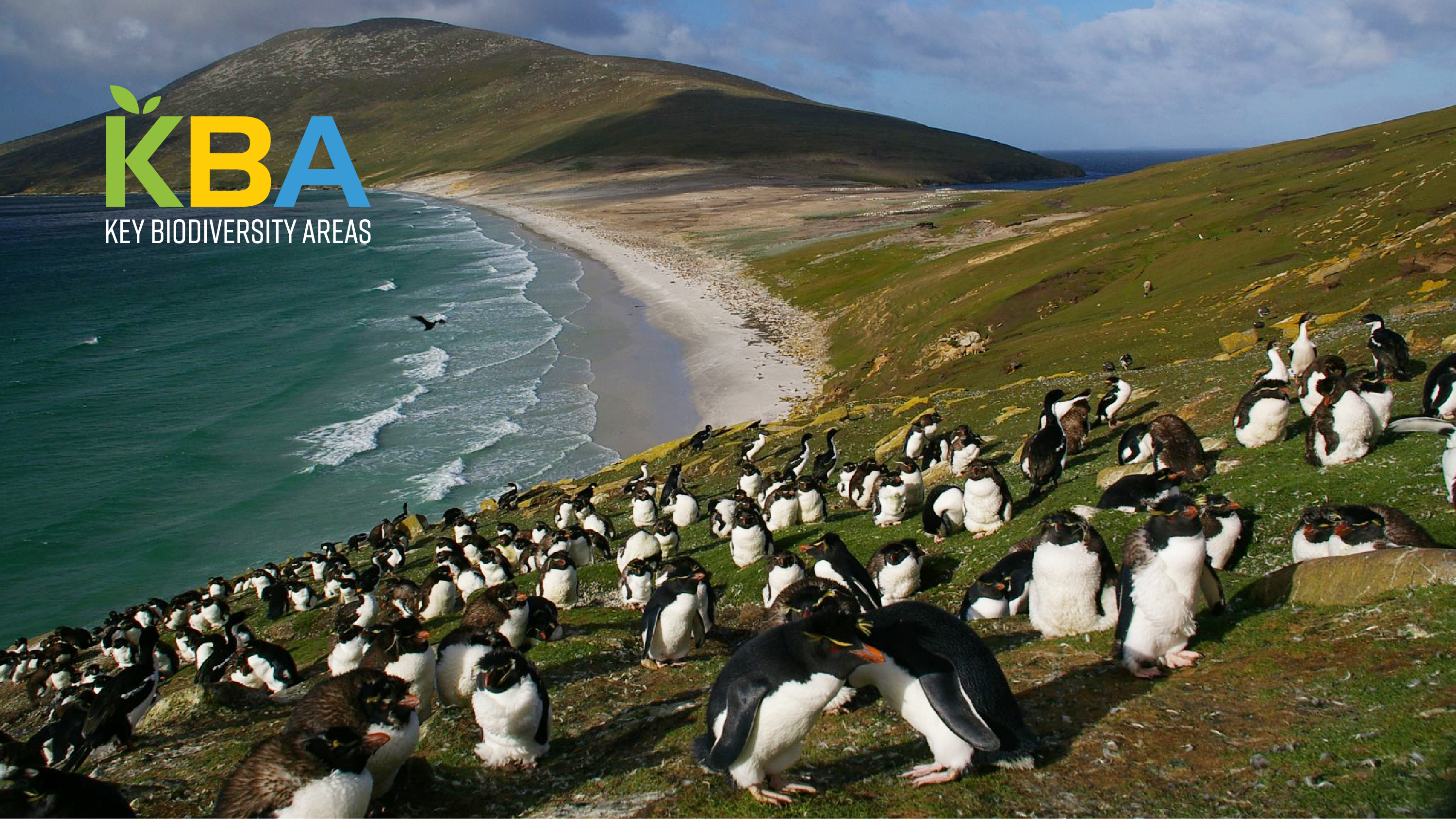
BirdLife International
1 dataset
BirdLife International is a global partnership of non-governmental organizations that strives to conserve birds and their habitats. BirdLife International's priorities include preventing extinction of bird species, identifying and safeguarding important sites for birds, maintaining and restoring key bird habitats, and empowering conservationists worldwide.
Canadian Forest Earth Observation Products
1 dataset
Suite of nationally consistent, rigorously validated datasets describing multiple Canadian forest attributes. These high-quality datasets were developed by the remote sensing team at the Laurentian Forestry Centre of the Canadian Forest Service, Natural Resources Canada.
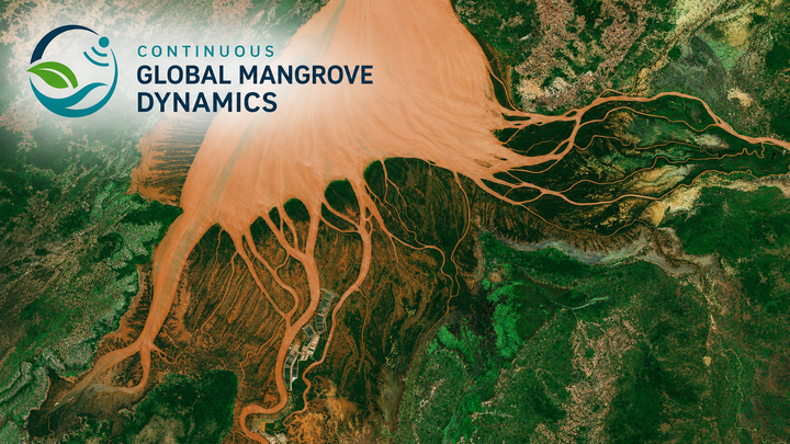
Continuous Global Mangrove Dynamics
2 datasets
Continuous Global Mangrove Dynamics (CGMD) is a suite of global mangrove datasets designed to support long-term monitoring of mangrove extent, canopy structure, degradation, recovery, and blue carbon dynamics.
The current release includes annual mangrove extent and fractional canopy cover datasets from 1984 to 2023, generated from long-term Landsat time series.

Environmental Defense Fund - MethaneSAT
6 datasets
This growing public preview is derived from data collected by MethaneSAT and MethaneAIR after May 2024. Launched into orbit on March 4th, 2024, MethaneSAT is the first satellite developed and funded by an environmental nonprofit organization. It is the only methane-detecting satellite that sees the whole picture, measuring methane emissions from millions of small sources around the world that are a huge part of the problem. It has one purpose- to speed up reductions in methane emissions as quickly as possible, so we can slow down global warming. During our Public Preview, MethaneSAT data are freely available via request so that companies, governments, and advocates can speed up emissions cuts, track progress, and hold polluters truly accountable. MethaneSAT LLC is a wholly owned subsidiary of Environmental Defense Fund.
Users who are interested in downloading the data directly rather than exploring through Earth Engine may do so through Google Cloud Platform, where we have the same underlying datasets available.
You will need to apply for use of this data to access on both Google Earth Engine and Google Cloud Platform via this form. See the dataset Terms of Use for more information.

Forest Data Partnership
9 datasets
The Forest Data Partnership strengthens collaboration and application around global monitoring of commodity-driven deforestation, forest degradation and restoration efforts across the globe.

Global Pasture Watch
5 datasets
The Land & Carbon Lab, convened by the World Resources Institute (WRI) and the Bezos Earth Fund, established the Global Pasture Watch research consortium. The consortium, which is made up of experts in geospatial monitoring, machine learning, ecology and agriculture across some of the world's leading research institutions, is developing global products for grasslands and livestock grazing in the 21st century.

Land & Carbon Lab
4 datasets
Land and Carbon Lab, founded by World Resources Institute and the Bezos Earth Fund in 2021, develops breakthroughs in geospatial monitoring to help governments, businesses and communities power solutions for sustainable landscapes. Global Forest Watch, established in 2014 by a consortium of partners led by the World Resources Institute, is a forest monitoring initiative that provides open access to data about the current status of forests and recent forest change.
Large Scale Hydrology Lab
1 dataset
The Large Scale Hydrology Lab specializes in advancing global and regional water cycle research by synthesizing multi-source Earth observations with process-based modeling. We are widely recognized for the Penman-Monteith-Leuning (PML) model and its high-accuracy, long-term evapotranspiration (ET) and gross primary productivity (GPP) products.
By integrating remote sensing, machine learning, and surface process modeling, our goal is to provide essential data infrastructure for monitoring water-carbon coupling and understanding climate change impacts at a global scale.
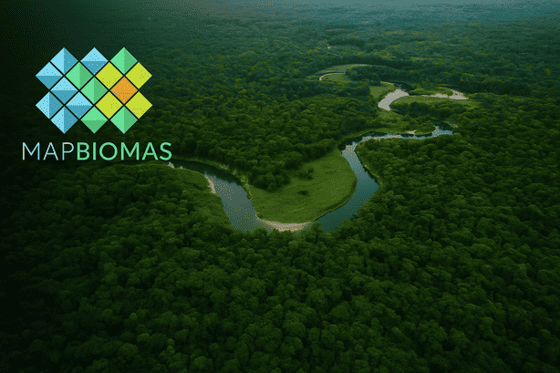
MapBiomas
3 datasets
universities, and technology companies focused on developing annual land use and land cover maps for Brazil and other countries using satellite imagery and machine learning.
The project promotes transparency, scientific rigor, and open access to environmental data for monitoring land use changes over time.

National Ecological Observatory Network
6 datasets
The U.S. National Science Foundation's National Ecological Observatory Network (NEON) is a continental-scale observation facility operated by Battelle and designed to collect long-term open access ecological data to better understand how U.S. ecosystems are changing.
In addition to in situ data products, NEON provides repeat high-resolution airborne remote sensing data at 81 terrestrial and aquatic field sites throughout the United States and Puerto Rico for ecological research and monitoring.
Nature Trace
5 datasets
Nature Trace is a growing suite of geospatial layers from next-generation AI models developed by Google DeepMind and Google Research for understanding environments that can support nature.
OpenET
14 datasets
OpenET provides satellite-based data on the total amount of water that is transferred from the land surface to the atmosphere through the process of evapotranspiration (ET). OpenET uses proven, science-backed methods to produce ET data at the field scale (30m x 30m) using a multi-model ensemble approach, combining results from several independent, peer-reviewed ET models (METRIC, geeSEBAL, DisALEXI, SSEBop, PT-JPL, SIMS). Each model is rooted in decades of scientific research and uses inputs with satellite imagery, weather data, and land surface information.
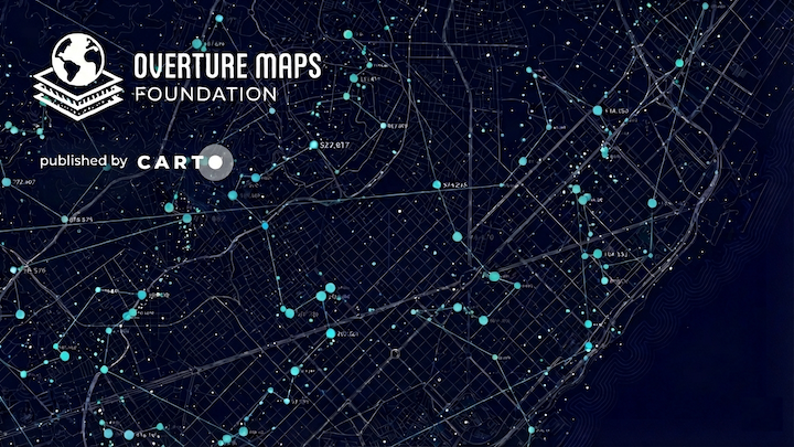
Overture Maps
1 dataset
Overture Maps Foundation is a collaborative effort to develop interoperable open map data. The foundation produces open map data containing nearly 4.2 billion features organized into six themes: Addresses, Base, Buildings, Divisions, Places, and Transportation.
The data is released monthly and is available as cloud-native GeoParquet files. Overture data is accessible in Google BigQuery as part of the Google Cloud Public Dataset Program, with the data being listed and maintained by CARTO.
Oya
1 dataset
Oya is a quasi-global, high-resolution precipitation estimation dataset derived from geostationary (GEO) satellite observations.

Planet
3 datasets
businesses, governments, researchers, and journalists understand the physical world and take action.
Through Norway's International Climate and Forest Initiative (NICFI), users can now access Planet’s high-resolution, analysis-ready mosaics of the world’s tropics in order to help reduce and reverse the loss of tropical forests, combat climate change, conserve biodiversity, and facilitate sustainable development for non commercial uses.
The Malaria Atlas Project
21 datasets
The Malaria Atlas Project (MAP) aims to disseminate free, accurate and up-to-date geographical information on malaria and associated topics.
USDA Forest Service
2 datasets
The USDA Forest Service provides a suite of national datasets to monitor the health and diversity of forests, grasslands, and surrounding landscapes across the United States.
These datasets offer a wide range of applications for federal, state, and private partners to support the sustainable use and management of natural resources and land uses to meet diverse public needs.

WeatherNext
4 datasets
WeatherNext is a growing suite of next-generation weather forecasting AI models developed by Google.