Page Summary
-
Several datasets provide drought indices and soil moisture information for various regions including CONUS and globally.
-
Drought indices such as SPI, EDDI, SPEI, and PDSI are available, some derived from meteorological data.
-
Soil moisture data, including surface and root-zone levels, are provided daily and 3-hourly.
-
The Keetch-Byram Drought Index is available for estimating the dryness of soil and duff layers.
-
A weekly U.S. Drought Monitor map shows areas in the U.S. experiencing different levels of drought.
-
GRIDMET DROUGHT: CONUS Drought Indices
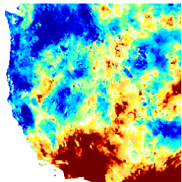
This dataset contains drought indices derived from the 4-km daily Gridded Surface Meteorological (GRIDMET) dataset. The drought indices provided include the standardized precipitation index (SPI), the evaporative drought demand index (EDDI), the standardized precipitation evapotranspiration index (SPEI), the Palmer Drought Severity Index (PDSI) and Palmer … climate conus crop drought evapotranspiration geophysical -
KBDI: Keetch-Byram Drought Index
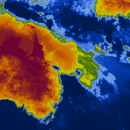
Keetch-Byram Drought Index (KBDI) is a continuous reference scale for estimating the dryness of the soil and duff layers. The index increases for each day without rain (the amount of increase depends on the daily high temperature) and decreases when it rains. This system is … drought fire rainfall -
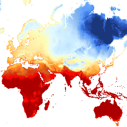
SPEIbase: Standardised Precipitation-Evapotranspiration Index database, Version 2.11
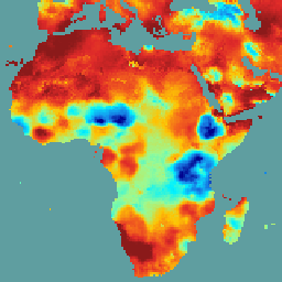
The Global SPEI database (SPEIbase) offers long-time robust information about drought conditions at the global scale, with a 0.5 degree pixel size and monthly cadence. It provides SPEI time scales from 1 to 48 months. The Standardized Precipitation-Evapotranspiration Index (SPEI) expresses, as a standardized variate … climate climate-change drought evapotranspiration global monthly -
SPL3SMP_E.005 SMAP L3 Radiometer Global Daily 9 km Soil Moisture

Data starting from 2023-12-04 are available in the NASA/SMAP/SPL3SMP_E/006 collection. This Level-3 (L3) soil moisture product provides a daily composite of global land surface conditions retrieved by the Soil Moisture Active Passive (SMAP) L-Band radiometer. The daily data here were collected from the descending (local … drought nasa smap soil soil-moisture surface -
SPL3SMP_E.006 SMAP L3 Radiometer Global Daily 9 km Soil Moisture
Data prior from 2023-12-04 are available in the older NASA/SMAP/SPL3SMP_E/005 collection. They will eventually be reprocessed and added to this collection. This Level-3 (L3) soil moisture product provides a daily composite of global land surface conditions retrieved by the Soil Moisture Active Passive (SMAP) L-Band … drought nasa smap soil soil-moisture surface -
SPL4SMGP.008 SMAP L4 Global 3-hourly 9-km Surface and Root Zone Soil Moisture
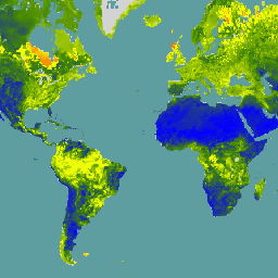
The SMAP Level-4 (L4) Soil Moisture product includes surface soil moisture (0-5 cm vertical average), root-zone soil moisture (0-100 cm vertical average), and additional research products (not validated), including surface meteorological forcing variables, soil temperature, evapotranspiration, and net radiation. This dataset, formally known as the … drought nasa smap soil soil-moisture surface -
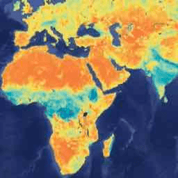
TerraClimate: Monthly Climate and Climatic Water Balance for Global Terrestrial Surfaces, University of Idaho
TerraClimate is a dataset of monthly climate and climatic water balance for global terrestrial surfaces. It uses climatically aided interpolation, combining high-spatial resolution climatological normals from the WorldClim dataset, with coarser spatial resolution, but time-varying data from CRU Ts4.0 and the Japanese 55-year Reanalysis (JRA55). … climate drought evapotranspiration geophysical global merced -
United States Drought Monitor
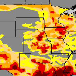
The U.S. Drought Monitor is a map released every Thursday, showing parts of the U.S. that are in drought. The map uses five classifications: abnormally dry (D0), showing areas that may be going into or are coming out of drought, and four levels of drought: … community-dataset drought noaa precipitation sat-io usda