universities, and technology companies focused on developing annual land use and land cover maps for Brazil and other countries using satellite imagery and machine learning.
The project promotes transparency, scientific rigor, and open access to environmental data for monitoring land use changes over time.
-
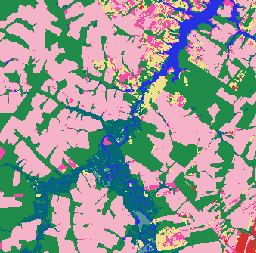
MapBiomas Land Use and Land Cover - Bolivia V1.0
MapBiomas Land Use and Land Cover (LULC) dataset for Bolivia is produced annually by the MapBiomas Project using Landsat satellite imagery and machine learning classification techniques. The dataset provides consistent annual land cover maps at 30-meter resolution covering the period from 1985 to 2024. Bolivia's … landsat-derived landuse-landcover mapbiomas-public publisher-dataset -
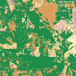
MapBiomas Land Use and Land Cover - Brazil V1.0
MapBiomas Land Use and Land Cover (LULC) dataset for Brazil is produced annually by the MapBiomas Project using Landsat satellite imagery and machine learning classification techniques. The dataset provides consistent, thematically detailed maps at 30-meter resolution, covering multiple decades and updated each year. Each image … landsat-derived landuse-landcover mapbiomas-public publisher-dataset -
MapBiomas Land Use and Land Cover - Ecuador V1.0
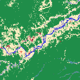
MapBiomas Land Use and Land Cover (LULC) dataset for Ecuador is produced annually by the MapBiomas Project using Landsat satellite imagery and machine learning classification techniques. The dataset provides consistent annual land cover maps at 30-meter resolution covering the period from 1985 to 2024. Ecuador's … landsat-derived landuse-landcover mapbiomas-public publisher-dataset