Page Summary
-
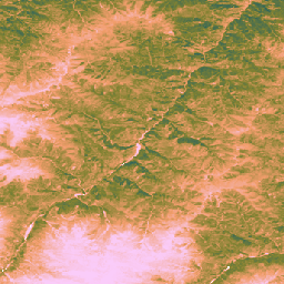
The Land & Carbon Lab Global Pasture Watch initiative develops global products for grasslands and livestock grazing using geospatial monitoring, machine learning, ecology, and agriculture expertise.
-
Available datasets include global annual dominant class and probability maps of cultivated and natural/semi-natural grasslands from 2000 to 2022 at 30-m spatial resolution.
-
Additional datasets provide global median vegetation height and uncalibrated Gross Primary Productivity from 2000 onwards at 30-m spatial resolution.
The Land & Carbon Lab, convened by the World Resources Institute (WRI) and the Bezos Earth Fund, established the Global Pasture Watch research consortium. The consortium, which is made up of experts in geospatial monitoring, machine learning, ecology and agriculture across some of the world's leading research institutions, is developing global products for grasslands and livestock grazing in the 21st century.
-
GPW Annual Dominant Class of Grasslands v1
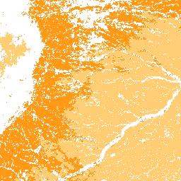
This dataset provides global annual dominant class maps of grasslands (cultivated and natural/semi-natural) from 2000 to 2022 at 30-m spatial resolution. Produced by the Land & Carbon Lab Global Pasture Watch initiative, the mapped grassland extent includes any land cover type, which contains at least … global global-pasture-watch land landcover landuse landuse-landcover -
GPW Annual Probabilities of Cultivated Grasslands v1
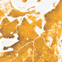
This dataset provides global annual probability maps of cultivated grassland from 2000 to 2022 at 30-m spatial resolution. Produced by the Land & Carbon Lab Global Pasture Watch initiative, the mapped grassland extent includes any land cover type, which contains at least 30% of dry … global global-pasture-watch land landcover landuse landuse-landcover -
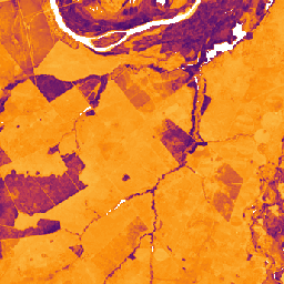
GPW Annual Probabilities of Natural/Semi-natural Grasslands v1
This dataset provides global annual probability maps of natural/semi-natural grassland from 2000 to 2022 at 30-m spatial resolution. Produced by the Land & Carbon Lab Global Pasture Watch initiative, the mapped grassland extent includes any land cover type, which contains at least 30% of dry … global global-pasture-watch land landcover landuse landuse-landcover -
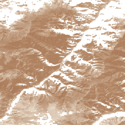
GPW Annual short vegetation height v1
This dataset provides global median vegetation height from 2000 at 30-m spatial resolution. Produced by the Land & Carbon Lab’s Global Pasture Watch initiative, this dataset provides median vegetation height values (50th percentile) globally at 30-m spatial resolution from 2000 onwards. The dataset is based … canopy global global-pasture-watch land landcover plant-productivity -
GPW Annual uncalibrated Gross Primary Productivity (uGPP) v1
This dataset provides global uncalibrated EO-based Gross Primary Productivity from 2000 at 30-m spatial resolution. Produced by the Land & Carbon Lab Global Pasture Watch initiative, the current dataset provides Gross Primary Productivity (GPP) values globally at 30-m spatial resolution from 2000 onwards. GPP values … global global-pasture-watch land landcover landuse plant-productivity