Ubin medan
Tetap teratur dengan koleksi
Simpan dan kategorikan konten berdasarkan preferensi Anda.
Developer Wilayah Ekonomi Eropa (EEA)
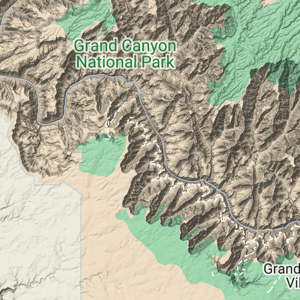
Petak medan adalah petak gambar yang berisi pemetaan hillshade dan garis kontur. Fitur ini mencakup fitur alami seperti vegetasi.
Mendapatkan petak medan
Anda dapat mulai membuat permintaan petak medan setelah mendapatkan token sesi.
Karena token sesi berlaku untuk seluruh sesi, Anda tidak perlu menentukan opsi peta dengan permintaan kartu.
Contoh kode berikut menunjukkan permintaan token sesi umum untuk petak peta medan.
[[["Mudah dipahami","easyToUnderstand","thumb-up"],["Memecahkan masalah saya","solvedMyProblem","thumb-up"],["Lainnya","otherUp","thumb-up"]],[["Informasi yang saya butuhkan tidak ada","missingTheInformationINeed","thumb-down"],["Terlalu rumit/langkahnya terlalu banyak","tooComplicatedTooManySteps","thumb-down"],["Sudah usang","outOfDate","thumb-down"],["Masalah terjemahan","translationIssue","thumb-down"],["Masalah kode / contoh","samplesCodeIssue","thumb-down"],["Lainnya","otherDown","thumb-down"]],["Terakhir diperbarui pada 2026-06-19 UTC."],[],["Terrain tiles, which include hillshade mapping, contour lines, and natural features, are accessed by first obtaining a session token via a POST request specifying the map type, language, region, and layer types. Subsequently, tiles are retrieved with HTTPS GET requests, providing the zoom level (z), x and y coordinates, and the session token. An example demonstrates requesting a tile at zoom level 10, with coordinates (192, 401). The tile data downloads to a local file, without a server response message.\n"]]

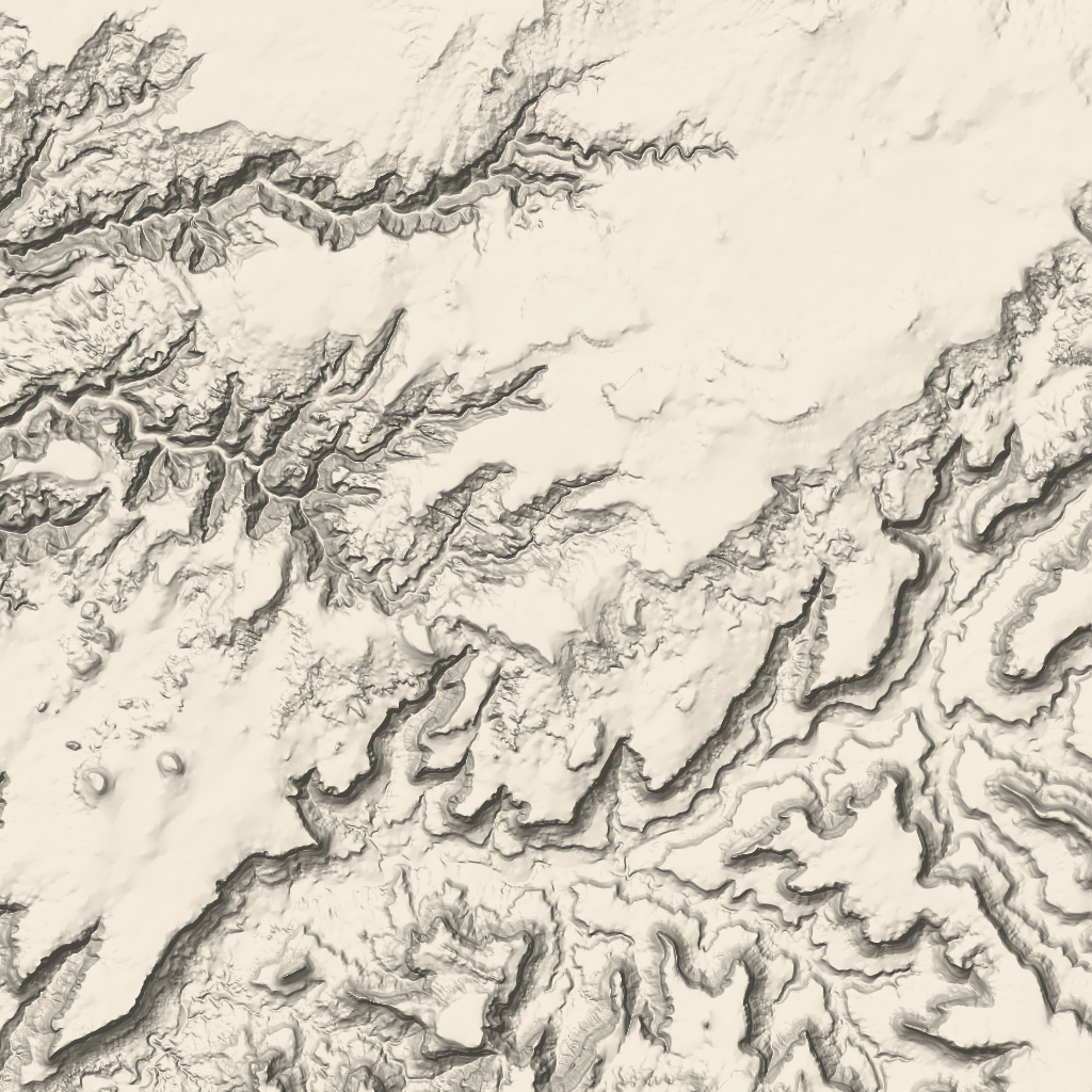 adalah petak gambar yang berisi pemetaan hillshade dan garis kontur. Fitur ini mencakup fitur alami seperti vegetasi.