[[["わかりやすい","easyToUnderstand","thumb-up"],["問題の解決に役立った","solvedMyProblem","thumb-up"],["その他","otherUp","thumb-up"]],[["必要な情報がない","missingTheInformationINeed","thumb-down"],["複雑すぎる / 手順が多すぎる","tooComplicatedTooManySteps","thumb-down"],["最新ではない","outOfDate","thumb-down"],["翻訳に関する問題","translationIssue","thumb-down"],["サンプル / コードに問題がある","samplesCodeIssue","thumb-down"],["その他","otherDown","thumb-down"]],["最終更新日 2026-07-09 UTC。"],[],["Terrain tiles, which include hillshade mapping, contour lines, and natural features, are accessed by first obtaining a session token via a POST request specifying the map type, language, region, and layer types. Subsequently, tiles are retrieved with HTTPS GET requests, providing the zoom level (z), x and y coordinates, and the session token. An example demonstrates requesting a tile at zoom level 10, with coordinates (192, 401). The tile data downloads to a local file, without a server response message.\n"]]

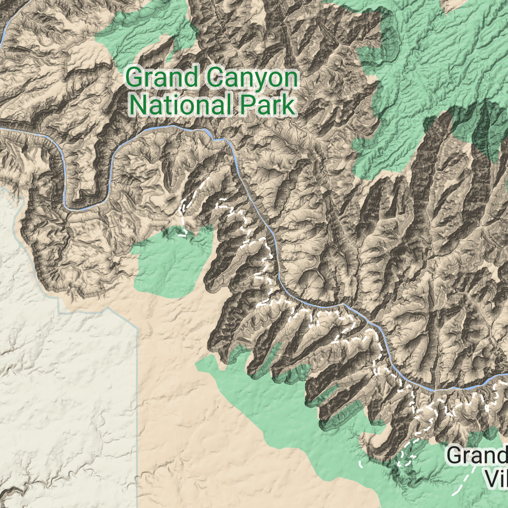
 地形タイルは、陰影起伏図
と等高線を含む画像タイルです。植生などの自然特性が含まれます。
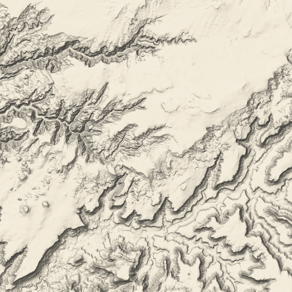
地形タイルは、陰影起伏図
と等高線を含む画像タイルです。植生などの自然特性が含まれます。