
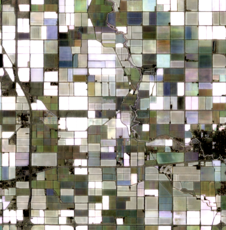
Custom Satellite Embeddings are the output of the AlphaEarth Foundations model, an AI model developed by Google DeepMind that integrates petabytes of multi-source Earth observation data into a unified digital representation (embeddings). Google makes the annual Satellite Embeddings dataset publicly available as an Earth Engine dataset and as Cloud-Optimized GeoTIFFs (COGs) in Google Cloud Storage.
About custom satellite embeddings data
Google provides Custom Satellite Embeddings to make the AlphaEarth Foundations model available at custom temporal cadence and resolution, unlike the public Satellite Embeddings dataset, which is only available at annual cadence. The Custom Satellite Embeddings datasets are delivered as COGs to your private Cloud Storage bucket.
Custom Satellite Embeddings help you generate insights like:
- Did an event occur in the area of interest in a specific month?
- How did the spatial distribution of a class of interest change over a several-month period?
- Where is a particular snapshot in time most different from a reference period?
- Are there temporal trajectories in the embeddings that show the within-season variation of a quantity of interest?
Analyzing this data supports use cases like the following:
- Crop monitoring
- Damage assessment
- Disturbance detection
Because Custom Satellite Embeddings data are delivered as COGs in Cloud Storage, they can
be directly converted to an ImageCollection in
Google Earth Engine. In Earth Engine, you can develop
visualizations, analyze time series, or fit machine learning models to the
Custom Satellite Embeddings data. Derive insights by analyzing specific events, such as
crop growth, flooding, infrastructure development, and other infrequent or
episodic processes. See the
samples page for
example workflows.
About Earth Engine
By making Custom Satellite Embeddings imagery available to Earth Engine, you unlock more complex machine learning (ML) and image analysis workflows:
- Develop and deploy ML models to analyze imagery and uncover insights for your specific needs.
- Use the same Earth Engine tools and framework that you are already using for your geospatial workflows.
- Harness the power of Google Earth Engine for scalable, high-performance analysis of image time series.
Signup
To get access to Custom Satellite Embeddings, first express interest with this form: Signup.