-
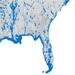
TIGER: 2020 Tabulation (Census) Block
Das United States Census Bureau veröffentlicht regelmäßig eine Geodatabase namens TIGER. Dieses Dataset enthält die Blöcke der Volkszählung von 2020, die in etwa einem Stadtblock entsprechen. Es gibt etwas mehr als acht Millionen Polygon-Features, die die USA, den District of Columbia, Puerto Rico und die Insel … census city infrastructure-boundaries neighborhood table tiger -
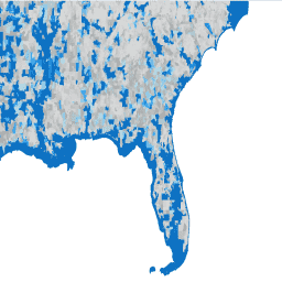
TIGER: US Census Block Groups (BG) 2010

Das United States Census Bureau veröffentlicht regelmäßig eine Geodatabase namens TIGER. Dieses Dataset enthält die Blockgruppen der Volkszählung von 2010. Eine Blockgruppe ist eine Gruppe von Blöcken innerhalb desselben Zählbezirks, die dieselbe erste Ziffer ihrer vierstelligen Blocknummer haben. Es gibt nur … census city infrastructure-boundaries neighborhood table tiger -
TIGER: US Census Block Groups (BG) 2020
Das United States Census Bureau veröffentlicht regelmäßig eine Geodatabase namens TIGER. Dieses Dataset enthält die Blockgruppen der Volkszählung von 2020. Eine Blockgruppe ist eine Gruppe von Blöcken innerhalb desselben Zählbezirks, die dieselbe erste Ziffer ihrer vierstelligen Blocknummer haben. Es gibt nur … census city infrastructure-boundaries neighborhood table tiger -
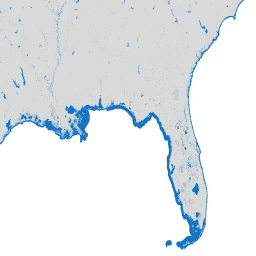
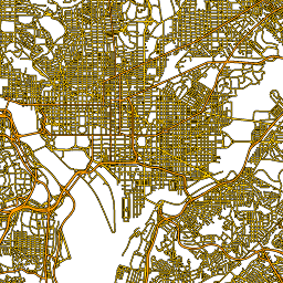
TIGER: US Census Blocks
Das United States Census Bureau veröffentlicht regelmäßig eine Geodatabase namens TIGER. Dieses Dataset enthält die Erhebungsblöcke von 2010, die in etwa einem Häuserblock entsprechen. Es gibt etwas mehr als 11 Millionen Polygon-Features, die die USA, den District of Columbia, Puerto Rico und die Insel … census city infrastructure-boundaries neighborhood table tiger -
TIGER: US Census Counties 2016

Das TIGER-Dataset des US Census Bureau enthält die Grenzen der primären rechtlichen Einheiten der US-Bundesstaaten aus dem Jahr 2016. In den meisten Bundesstaaten werden diese Einheiten als „Counties“ bezeichnet. In Louisiana werden diese Einheiten als „parishes“ bezeichnet. In Alaska gibt es Verwaltungseinheiten namens „boroughs“, die eine ähnliche Funktion wie … census county infrastructure-boundaries table tiger us> -
TIGER: US Census Counties 2018
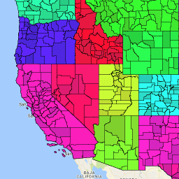
Das TIGER-Dataset des US Census Bureau enthält die Grenzen der primären rechtlichen Unterteilungen der US-Bundesstaaten aus dem Jahr 2018. In den meisten Bundesstaaten werden diese Einheiten als „Counties“ bezeichnet. In Louisiana werden diese Einheiten als „parishes“ bezeichnet. In Alaska gibt es Verwaltungseinheiten namens „boroughs“, die eine ähnliche Funktion wie … census county infrastructure-boundaries table tiger us> -
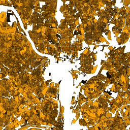
TIGER: US Census Roads
Dieses TIGER-Dataset des US Census Bureau enthält alle Straßensegmente aus der Version von 2016 mit mehr als 19 Millionen einzelnen Linienobjekten für die USA, den District of Columbia, Puerto Rico und die Inselgebiete. Jedes Feature stellt die Geometrie eines Straßenabschnitts dar (ein … census infrastructure-boundaries roads table tiger us -
TIGER: US Census States 2016
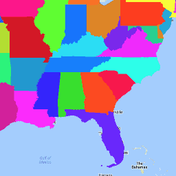
Das TIGER-Dataset des Statistischen Bundesamts der USA enthält die Grenzen der wichtigsten staatlichen Einheiten der USA aus dem Jahr 2016. Neben den 50 Bundesstaaten behandelt das Census Bureau den District of Columbia, Puerto Rico und jedes der Inselgebiete (Amerikanisch-Samoa, … census infrastructure-boundaries state states table tiger -
TIGER: US Census States 2018

Das TIGER-Dataset des US Census Bureau enthält die Grenzen der primären staatlichen Einheiten der USA aus dem Jahr 2018. Neben den 50 Bundesstaaten behandelt das Census Bureau den District of Columbia, Puerto Rico und jedes der Inselgebiete (Amerikanisch-Samoa, … census infrastructure-boundaries state states table tiger -
TIGER: US-Zensus-Erhebungsgebiete
Das United States Census Bureau veröffentlicht regelmäßig eine Geodatabase namens TIGER. Dieses Dataset enthält die Volkszählungsgebiete von 2020. Die Größe von Zählbezirken variiert stark, in städtischen Gebieten entspricht sie in etwa einem Stadtteil. Es gibt etwas mehr als 85.000 Polygonfunktionen für die USA, den District … census city infrastructure-boundaries neighborhood table tiger -
TIGER: US Census Tracts Demographic - Profile 1

Das United States Census Bureau veröffentlicht regelmäßig eine Geodatabase namens TIGER. Diese Tabelle enthält die Werte des demografischen Profils 1 der Volkszählung von 2010, die nach Zählbezirk zusammengefasst wurden. Die Größe von Zählbezirken variiert stark, in städtischen Gebieten entspricht sie in etwa einem Stadtteil. Es gibt etwa 74.000 Polygon-Features… census infrastructure-boundaries table tiger us