Page Summary
-
The webpage contains a collection of datasets related to climate, land surface conditions, and water mapping from various sources like ECMWF, NASA, and JRC.
-
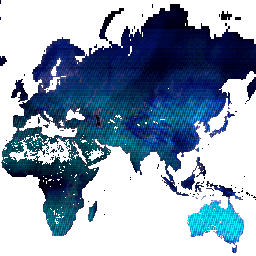
ERA5 datasets provide daily and monthly aggregated climate reanalysis data produced by ECMWF/Copernicus.
-
GLDAS-2 datasets from NASA focus on global land data assimilation systems with different temporal coverages.
-
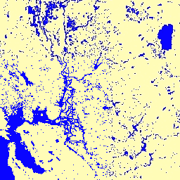
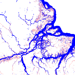
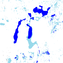
The Global Flood Database and JRC Global Surface Water Mapping Layers provide historical and recurring surface water data and flood event information.
-
SMAP datasets offer daily and 3-hourly global soil moisture products at various levels.
-
VIIRS datasets include information on thermal anomalies/fires, vegetation indices, land surface temperature, land surface phenology, BRDF/Albedo, and burned area.
-
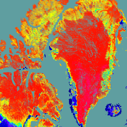
Dynamic Surface Water Extent from Harmonized Landsat Sentinel-2 (DSWx-HLS) V1
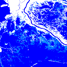
This dataset contains Level-3 Dynamic OPERA surface water extent product version 1. The data are validated surface water extent observations beginning April 2023. Known issues and caveats on usage are described in the product documentation. The input dataset for generating each product is the Harmonized … geophysical landsat-derived nasa opera sentinel2-derived surface -
Dynamic Surface Water Extent from Sentinel-1 (DSWx-S1) V1
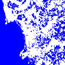
This dataset contains Level-3 Dynamic OPERA surface water extent from Sentinel-1 (DSWX-S1). DSWx-S1 provides near-global geographical mapping of surface water extent over land at a spatial resolution of 30 meters over the Military Grid reference System (MGRS) grid system, with a temporal revisit frequency between … geophysical nasa opera sentinel1-derived surface surface-ground-water -
ERA5 Daily Aggregates - Latest Climate Reanalysis Produced by ECMWF / Copernicus Climate Change Service
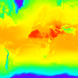
ERA5 is the fifth generation ECMWF atmospheric reanalysis of the global climate. Reanalysis combines model data with observations from across the world into a globally complete and consistent dataset. ERA5 replaces its predecessor, the ERA-Interim reanalysis. ERA5 DAILY provides aggregated values for each day for … climate copernicus dewpoint ecmwf era5 precipitation -
ERA5 Monthly Aggregates - Latest Climate Reanalysis Produced by ECMWF / Copernicus Climate Change Service

ERA5 is the fifth generation ECMWF atmospheric reanalysis of the global climate. Reanalysis combines model data with observations from across the world into a globally complete and consistent dataset. ERA5 replaces its predecessor, the ERA-Interim reanalysis. ERA5 MONTHLY provides aggregated values for each month for … climate copernicus dewpoint ecmwf era5 precipitation -
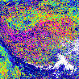
GLDAS-2.1: Global Land Data Assimilation System

NASA Global Land Data Assimilation System Version 2 (GLDAS-2) has three components: GLDAS-2.0, GLDAS-2.1, and GLDAS-2.2. GLDAS-2.0 is forced entirely with the Princeton meteorological forcing input data and provides a temporally consistent series from 1948 through 2014. GLDAS-2.1 is forced with a combination of model … 3-hourly climate cryosphere evaporation forcing geophysical -
GLDAS-2.2: Global Land Data Assimilation System

NASA Global Land Data Assimilation System Version 2 (GLDAS-2) has three components: GLDAS-2.0, GLDAS-2.1, and GLDAS-2.2. GLDAS-2.0 is forced entirely with the Princeton meteorological forcing input data and provides a temporally consistent series from 1948 through 2014. GLDAS-2.1 is forced with a combination of model … 3-hourly climate cryosphere evaporation forcing geophysical -
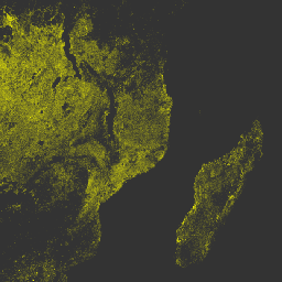
Global Flood Database v1 (2000-2018)

The Global Flood Database contains maps of the extent and temporal distribution of 913 flood events occurring between 2000-2018. For more information, see the associated journal article. Flood events were collected from the Dartmouth Flood Observatory and used to collect MODIS imagery. The selected 913 … flood surface surface-ground-water water -
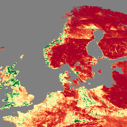
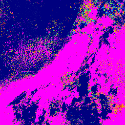
JRC Global Surface Water Mapping Layers, v1.2 [deprecated]
This dataset contains maps of the location and temporal distribution of surface water from 1984 to 2019 and provides statistics on the extent and change of those water surfaces. For more information see the associated journal article: High-resolution mapping of global surface water and its … geophysical google jrc landsat-derived surface surface-ground-water -
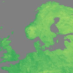
JRC Global Surface Water Mapping Layers, v1.4

This dataset contains maps of the location and temporal distribution of surface water from 1984 to 2021 and provides statistics on the extent and change of those water surfaces. For more information see the associated journal article: High-resolution mapping of global surface water and its … change-detection geophysical google jrc landsat-derived surface -
JRC Global Surface Water Metadata, v1.4
This dataset contains maps of the location and temporal distribution of surface water from 1984 to 2021 and provides statistics on the extent and change of those water surfaces. For more information see the associated journal article: High-resolution mapping of global surface water and its … geophysical google jrc landsat-derived surface surface-ground-water -
JRC Monthly Water History, v1.4
This dataset contains maps of the location and temporal distribution of surface water from 1984 to 2021 and provides statistics on the extent and change of those water surfaces. For more information see the associated journal article: High-resolution mapping of global surface water and its … geophysical google history jrc landsat-derived monthly -
JRC Monthly Water Recurrence, v1.4
This dataset contains maps of the location and temporal distribution of surface water from 1984 to 2021 and provides statistics on the extent and change of those water surfaces. For more information see the associated journal article: High-resolution mapping of global surface water and its … geophysical google history jrc landsat-derived monthly -
JRC Yearly Water Classification History, v1.4
This dataset contains maps of the location and temporal distribution of surface water from 1984 to 2021 and provides statistics on the extent and change of those water surfaces. For more information see the associated journal article: High-resolution mapping of global surface water and its … annual geophysical google history jrc landsat-derived -
RTMA: Real-Time Mesoscale Analysis
The Real-Time Mesoscale Analysis (RTMA) is a high-spatial and temporal resolution analysis for near-surface weather conditions. This dataset includes hourly analyses at 2.5 km for CONUS. atmosphere climate cloud geophysical humidity noaa -
Reprocessed GLDAS-2.0: Global Land Data Assimilation System
NASA Global Land Data Assimilation System Version 2 (GLDAS-2) has three components: GLDAS-2.0, GLDAS-2.1, and GLDAS-2.2. GLDAS-2.0 is forced entirely with the Princeton meteorological forcing input data and provides a temporally consistent series from 1948 through 2014. GLDAS-2.1 is forced with a combination of model … 3-hourly climate cryosphere evaporation forcing geophysical -
SPL3SMP_E.005 SMAP L3 Radiometer Global Daily 9 km Soil Moisture
Data starting from 2023-12-04 are available in the NASA/SMAP/SPL3SMP_E/006 collection. This Level-3 (L3) soil moisture product provides a daily composite of global land surface conditions retrieved by the Soil Moisture Active Passive (SMAP) L-Band radiometer. The daily data here were collected from the descending (local … drought nasa smap soil soil-moisture surface -
SPL3SMP_E.006 SMAP L3 Radiometer Global Daily 9 km Soil Moisture

Data prior from 2023-12-04 are available in the older NASA/SMAP/SPL3SMP_E/005 collection. They will eventually be reprocessed and added to this collection. This Level-3 (L3) soil moisture product provides a daily composite of global land surface conditions retrieved by the Soil Moisture Active Passive (SMAP) L-Band … drought nasa smap soil soil-moisture surface -
SPL4SMGP.008 SMAP L4 Global 3-hourly 9-km Surface and Root Zone Soil Moisture
The SMAP Level-4 (L4) Soil Moisture product includes surface soil moisture (0-5 cm vertical average), root-zone soil moisture (0-100 cm vertical average), and additional research products (not validated), including surface meteorological forcing variables, soil temperature, evapotranspiration, and net radiation. This dataset, formally known as the … drought nasa smap soil soil-moisture surface -
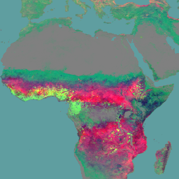
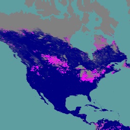
VNP14A1.002: Thermal Anomalies/Fire Daily L3 Global 1km SIN Grid
The daily Suomi National Polar-Orbiting Partnership NASA Visible Infrared Imaging Radiometer Suite (VIIRS) Thermal Anomalies/Fire (VNP14A1) Version 1 data product provides daily information about active fires and other thermal anomalies. The VNP14A1 data product is a global, 1km gridded composite of fire pixels detected from … fire land nasa noaa surface viirs -
VNP15A2H: LAI/FPAR 8-Day L4 Global 500m SIN Grid
The Visible Infrared Imaging Radiometer Suite (VIIRS) Leaf Area Index (LAI) and Fraction of Photosynthetically Active Radiation (FPAR) Version 1 data product provides information about the vegetative canopy layer at 500 meter resolution (VNP15A2H). The VIIRS sensor is located onboard the NOAA/NASA joint Suomi National … land nasa noaa surface vegetation-indices viirs -
VNP21A1D.002: Day Land Surface Temperature and Emissivity Daily 1km

The NASA Suomi National Polar-Orbiting Partnership (Suomi NPP) Visible Infrared Imaging Radiometer Suite (VIIRS) Land Surface Temperature and Emissivity (LST&E) Day Version 1 product (VNP21A1D) is compiled daily from daytime Level 2 Gridded (L2G) intermediate products. The L2G process maps the daily VNP21 swath granules … climate daily day land nasa noaa -
VNP21A1N.002: Night Land Surface Temperature and Emissivity Daily 1km
The NASA Suomi National Polar-Orbiting Partnership (Suomi NPP) Visible Infrared Imaging Radiometer Suite (VIIRS) Land Surface Temperature and Emissivity (LST&E) Night Version 1 product (VNP21A1N) is compiled daily from nighttime Level 2 Gridded (L2G) intermediate products. The L2G process maps the daily VNP21 swath granules … climate daily land nasa night noaa -
VNP22Q2.002: Land Surface Phenology Yearly L3 Global 500m SIN Grid
The Suomi National Polar-Orbiting Partnership (Suomi NPP) NASA Visible Infrared Imaging Radiometer Suite (VIIRS) Land Surface Phenology Yearly (VNP22Q2) Version 2 data product provides global land surface phenology (GLSP) metrics at yearly intervals. The VNP22Q2 data product is derived from time series of the two-band … land nasa ndvi noaa npp onset-greenness -
VNP43IA1: BRDF/Albedo Model Parameters Daily L3 Global 500m SIN Grid
The Suomi National Polar-Orbiting Partnership (Suomi NPP) NASA Visible Infrared Imaging Radiometer Suite (VIIRS) Bidirectional Reflectance Distribution Function (BRDF) and Albedo Model Parameters (VNP43IA1) Version 1 product provides kernel weights (parameters) at 500 resolution. The VNP43IA1 product is produced daily using 16 days of VIIRS … land nasa noaa satellite-imagery surface viirs -
VNP43IA2: BRDF/Albedo Quality Daily L3 Global 500m SIN Grid
The Suomi National Polar-Orbiting Partnership (Suomi NPP) NASA Visible Infrared Imaging Radiometer Suite (VIIRS) Bidirectional Reflectance Distribution Function (BRDF) and Albedo Quality (VNP43IA2) Version 1 product provides BRDF and Albedo quality at 500m resolution. The VNP43IA2 product is produced daily using 16 days of VIIRS … land nasa noaa satellite-imagery surface viirs -
VNP43IA4: BRDF/Albedo Quality Daily L3 Global 500m SIN Grid
The NASA/NOAA Suomi National Polar-orbiting Partnership (Suomi NPP) Visible Infrared Imaging Radiometer Suite (VIIRS) Nadir Bidirectional Reflectance Distribution Function (BRDF) Adjusted Reflectance (NBAR) Version 2 product provides NBAR estimates at 500 meter resolution. The VNP43IA4 product is produced daily using 16 days of VIIRS data … brdf land nasa noaa satellite-imagery surface -
VNP64A1.002: Burned Area Monthly L4 Global 500m SIN Grid
The daily Suomi National Polar-Orbiting Partnership (Suomi NPP) NASA Visible Infrared Imaging Radiometer Suite (VIIRS) Burned Area (VNP64A1) Version 2 data product is a monthly, global gridded 500m product containing per-pixel burned area and quality information. The VNP64 burned area mapping approach employs 750m VIIRS … burn change-detection fire land nasa surface