-
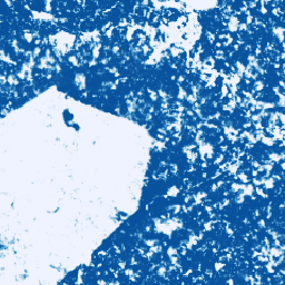
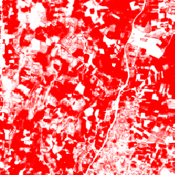
โมเดลความน่าจะเป็นของโกโก้ 2025a

คอลเล็กชันรูปภาพนี้แสดงความน่าจะเป็นต่อพิกเซลโดยประมาณที่พื้นที่พื้นฐานถูกครอบครองโดยสินค้าโภคภัณฑ์ การประมาณความน่าจะเป็นจะแสดงที่ความละเอียด 10 เมตร และสร้างขึ้นโดยโมเดลแมชชีนเลิร์นนิง โปรดดูรายละเอียดในเอกสารประกอบทางเทคนิคเกี่ยวกับ Forest Data Partnership … การเกษตร ความหลากหลายทางชีวภาพ โกโก้ การอนุรักษ์ พืชผล eudr -
โมเดลความน่าจะเป็นของโกโก้ 2025b
คอลเล็กชันรูปภาพนี้แสดงความน่าจะเป็นต่อพิกเซลโดยประมาณที่พื้นที่พื้นฐานถูกครอบครองโดยสินค้าโภคภัณฑ์ การประมาณความน่าจะเป็นจะแสดงที่ความละเอียด 10 เมตร และสร้างขึ้นโดยโมเดลแมชชีนเลิร์นนิง โปรดดูรายละเอียดในเอกสารประกอบทางเทคนิคเกี่ยวกับ Forest Data Partnership … การเกษตร alphaearth-derived ความหลากหลายทางชีวภาพ โกโก้ การอนุรักษ์ พืช -
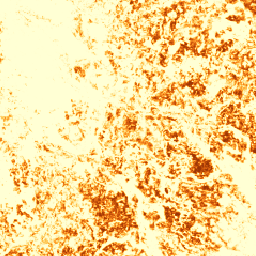
โมเดลความน่าจะเป็นของกาแฟ 2025a

คอลเล็กชันรูปภาพนี้แสดงความน่าจะเป็นต่อพิกเซลโดยประมาณที่พื้นที่พื้นฐานถูกครอบครองโดยสินค้าโภคภัณฑ์ การประมาณความน่าจะเป็นจะแสดงที่ความละเอียด 10 เมตร และสร้างขึ้นโดยโมเดลแมชชีนเลิร์นนิง โปรดดูรายละเอียดในเอกสารประกอบทางเทคนิคเกี่ยวกับ Forest Data Partnership … agriculture biodiversity coffee conservation crop eudr -
โมเดลความน่าจะเป็นของกาแฟ 2025b
คอลเล็กชันรูปภาพนี้แสดงความน่าจะเป็นต่อพิกเซลโดยประมาณที่พื้นที่พื้นฐานถูกครอบครองโดยสินค้าโภคภัณฑ์ การประมาณความน่าจะเป็นจะแสดงที่ความละเอียด 10 เมตร และสร้างขึ้นโดยโมเดลแมชชีนเลิร์นนิง โปรดดูรายละเอียดในเอกสารประกอบทางเทคนิคเกี่ยวกับ Forest Data Partnership … agriculture alphaearth-derived biodiversity coffee conservation crop -
แผนที่โลกของสวนปาล์มน้ำมัน
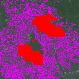
ชุดข้อมูลนี้คือแผนที่ปาล์มน้ำมันทั่วโลกขนาด 10 เมตรสำหรับปี 2019 โดยครอบคลุมพื้นที่ที่ตรวจพบการปลูกปาล์มน้ำมัน รูปภาพที่จัดประเภทแล้วเป็นเอาต์พุตของโครงข่ายระบบประสาทเทียมแบบคอนโวลูชันซึ่งอิงตามภาพคอมโพสิตครึ่งปีของ Sentinel-1 และ Sentinel-2 ดูบทความเพื่อดูข้อมูลเพิ่มเติมเกี่ยวกับ … agriculture biodiversity conservation crop global landuse -
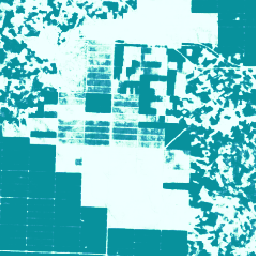
โมเดลความน่าจะเป็นของ Palm 2025a

คอลเล็กชันรูปภาพนี้แสดงความน่าจะเป็นต่อพิกเซลโดยประมาณที่พื้นที่พื้นฐานถูกครอบครองโดยสินค้าโภคภัณฑ์ การประมาณความน่าจะเป็นจะแสดงที่ความละเอียด 10 เมตร และสร้างขึ้นโดยโมเดลแมชชีนเลิร์นนิง โปรดดูรายละเอียดในเอกสารประกอบทางเทคนิคเกี่ยวกับ Forest Data Partnership … agriculture biodiversity conservation crop eudr forestdatapartnership -
โมเดลความน่าจะเป็นของ Palm 2025b
คอลเล็กชันรูปภาพนี้แสดงความน่าจะเป็นต่อพิกเซลโดยประมาณที่พื้นที่พื้นฐานถูกครอบครองโดยสินค้าโภคภัณฑ์ การประมาณความน่าจะเป็นจะแสดงที่ความละเอียด 10 เมตร และสร้างขึ้นโดยโมเดลแมชชีนเลิร์นนิง โปรดดูรายละเอียดในเอกสารประกอบทางเทคนิคเกี่ยวกับ Forest Data Partnership … agriculture alphaearth-derived biodiversity conservation crop eudr -
โมเดลความน่าจะเป็นของยาง 2025b
คอลเล็กชันรูปภาพนี้แสดงความน่าจะเป็นต่อพิกเซลโดยประมาณที่พื้นที่พื้นฐานถูกครอบครองโดยสินค้าโภคภัณฑ์ การประมาณความน่าจะเป็นจะแสดงที่ความละเอียด 10 เมตร และสร้างขึ้นโดยโมเดลแมชชีนเลิร์นนิง โปรดดูรายละเอียดในเอกสารประกอบทางเทคนิคเกี่ยวกับ Forest Data Partnership … agriculture alphaearth-derived biodiversity conservation crop eudr -
โมเดลความน่าจะเป็นของต้นยาง 2025a

คอลเล็กชันรูปภาพนี้แสดงความน่าจะเป็นต่อพิกเซลโดยประมาณที่พื้นที่พื้นฐานถูกครอบครองโดยสินค้าโภคภัณฑ์ การประมาณความน่าจะเป็นจะแสดงที่ความละเอียด 10 เมตร และสร้างขึ้นโดยโมเดลแมชชีนเลิร์นนิง โปรดดูรายละเอียดในเอกสารประกอบทางเทคนิคเกี่ยวกับ Forest Data Partnership … agriculture biodiversity conservation crop eudr forestdatapartnership