Datasets tagged plantation in Earth Engine
Оптимизируйте свои подборки
Сохраняйте и классифицируйте контент в соответствии со своими настройками.
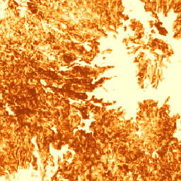
Модель вероятности какао 2026a
This image collection provides estimated per-pixel probability that the underlying area is occupied by the commodity. The probability estimates are provided at 10 meter resolution, and have been generated by a machine learning model. For details, see the technical documentation on the Forest Data Partnership …
This image collection provides estimated per-pixel probability that the underlying area is occupied by the commodity. The probability estimates are provided at 10 meter resolution, and have been generated by a machine learning model. For details, see the technical documentation on the Forest Data Partnership …
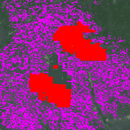
The dataset is a 10m global industrial and smallholder oil palm map for 2019. It covers areas where oil palm plantations were detected. The classified images are the output of a convolutional neural network based on Sentinel-1 and Sentinel-2 half-year composites. See article for additional …
This image collection provides estimated per-pixel probability that the underlying area is occupied by the commodity. The probability estimates are provided at 10 meter resolution, and have been generated by a machine learning model. For details, see the technical documentation on the Forest Data Partnership …
This image collection provides estimated per-pixel probability that the underlying area is occupied by the commodity. The probability estimates are provided at 10 meter resolution, and have been generated by a machine learning model. For details, see the technical documentation on the Forest Data Partnership …
[[["Прост для понимания","easyToUnderstand","thumb-up"],["Помог мне решить мою проблему","solvedMyProblem","thumb-up"],["Другое","otherUp","thumb-up"]],[["Отсутствует нужная мне информация","missingTheInformationINeed","thumb-down"],["Слишком сложен/слишком много шагов","tooComplicatedTooManySteps","thumb-down"],["Устарел","outOfDate","thumb-down"],["Проблема с переводом текста","translationIssue","thumb-down"],["Проблемы образцов/кода","samplesCodeIssue","thumb-down"],["Другое","otherDown","thumb-down"]],[],[],["The information describes four datasets related to agricultural land use. The first is a 2019 global map of oil palm plantations at 10m resolution, created using a neural network on satellite imagery. The other three are per-pixel probability models, also at 10m resolution, for cocoa, palm, and rubber trees respectively, all labeled as \"2024a\" and not peer-reviewed. These models estimate the probability of each area being occupied by these specific crops. All datasets are tagged with biodiversity, conservation, crop, and landuse.\n"]]