Page Summary
-
Datasets are available for high-resolution air pollution mapping in California for various gases including NO, NO2, and O3.
-
Near real-time and offline high-resolution imagery of NO2 concentrations is provided.
-
Nitrogen dioxide data is available in Level 3 files on a regular grid covering the TEMPO field of regard.
-
These datasets are relevant to air quality, atmosphere, and pollution studies.
-
Google Street View Air Quality: High Resolution Air Pollution Mapping in California

This large vector dataset contains high resolution air pollution mapping of NO, NO2, O3, CH4, CO2, BC, PN2.5, and UFP concentrations in California between June 2015 and June 2019. The dataset consists of measurements collected using four Google Street View vehicles equipped with the Aclima … air-quality atmosphere nitrogen-dioxide pollution table -
Sentinel-5P NRTI NO2: Near Real-Time Nitrogen Dioxide

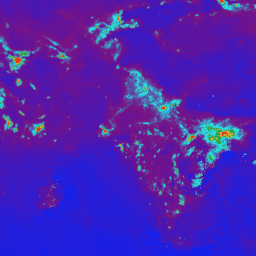
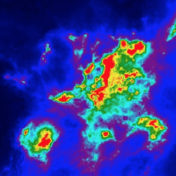
NRTI/L3_NO2 This dataset provides near real-time high-resolution imagery of NO2 concentrations. Nitrogen oxides (NO2 and NO) are important trace gases in the Earth's atmosphere, present in both the troposphere and the stratosphere. They enter the atmosphere as a result of anthropogenic activities (notably fossil fuel … air-quality atmosphere copernicus esa eu knmi -
Sentinel-5P OFFL NO2: Offline Nitrogen Dioxide

OFFL/L3_NO2 This dataset provides offline high-resolution imagery of NO2 concentrations. Nitrogen oxides (NO2 and NO) are important trace gases in the Earth's atmosphere, present in both the troposphere and the stratosphere. They enter the atmosphere as a result of anthropogenic activities (notably fossil fuel combustion … air-quality atmosphere copernicus esa eu knmi -
TEMPO gridded NO2 (QA filtered) tropospheric and stratospheric columns V03

Nitrogen dioxide Level 3 files provide trace gas information on a regular grid covering the TEMPO field of regard for nominal TEMPO observations. Level 3 files are derived by combining information from all Level 2 files constituting a TEMPO East-West scan cycle. The rasters contain … air-quality nasa nitrogen-dioxide pollution satellite-imagery tempo -
TEMPO gridded NO2 tropospheric and stratospheric columns V03

Nitrogen dioxide Level 3 files provide trace gas information on a regular grid covering the TEMPO field of regard for nominal TEMPO observations. Level 3 files are derived by combining information from all Level 2 files constituting a TEMPO East-West scan cycle. The rasters contain … air-quality nasa nitrogen-dioxide pollution satellite-imagery tempo