Page Summary
-
GRIDMET DROUGHT contains drought indices like SPI, EDDI, SPEI, and PDSI derived from the GRIDMET dataset for the CONUS region.
-
The GRIDMET dataset provides high spatial and temporal resolution daily surface meteorological fields across the contiguous United States from 1979.
-
TerraClimate offers monthly climate and climatic water balance data for global terrestrial surfaces using a climatically aided interpolation approach.
-
GRIDMET DROUGHT: CONUS Drought Indices
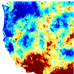
This dataset contains drought indices derived from the 4-km daily Gridded Surface Meteorological (GRIDMET) dataset. The drought indices provided include the standardized precipitation index (SPI), the evaporative drought demand index (EDDI), the standardized precipitation evapotranspiration index (SPEI), the Palmer Drought Severity Index (PDSI) and Palmer … climate conus crop drought evapotranspiration geophysical -
GRIDMET: University of Idaho Gridded Surface Meteorological Dataset
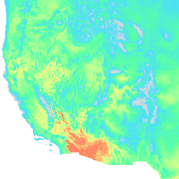
The Gridded Surface Meteorological dataset provides high spatial resolution (~4-km) daily surface fields of temperature, precipitation, winds, humidity and radiation across the contiguous United States from 1979. The dataset blends the high resolution spatial data from PRISM with the high temporal resolution data from the … climate gridmet humidity merced metdata precipitation -
TerraClimate: Monthly Climate and Climatic Water Balance for Global Terrestrial Surfaces, University of Idaho
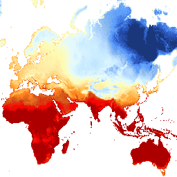
TerraClimate is a dataset of monthly climate and climatic water balance for global terrestrial surfaces. It uses climatically aided interpolation, combining high-spatial resolution climatological normals from the WorldClim dataset, with coarser spatial resolution, but time-varying data from CRU Ts4.0 and the Japanese 55-year Reanalysis (JRA55). … climate drought evapotranspiration geophysical global merced