Page Summary
-
GEDI L2A and L2B products provide detailed metrics on canopy height, cover, and vertical profile derived from GEDI waveforms.
-
GEDI L4A provides predictions of aboveground biomass density at a high resolution (25-meter footprint).
-
GEDI L4B offers gridded estimates of mean aboveground biomass density at a 1 km x 1 km resolution.
-
Several gridded GEDI datasets are available at various pixel sizes (1km, 6km, 12km) providing vegetation structure metrics and biomass density.
-
Index tables are available for GEDI L2A, L2B, and L4A products, providing spatial footprints and temporal information for source tables.
-
GEDI L2A Raster Canopy Top Height (Version 2)
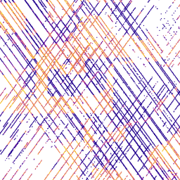
GEDI's Level 2A Geolocated Elevation and Height Metrics Product (GEDI02_A) is primarily composed of 100 Relative Height (RH) metrics, which collectively describe the waveform collected by GEDI. The original GEDI02_A product is a table of point with a spatial resolution (average footprint) of 25 meters. … elevation forest-biomass gedi larse nasa tree-cover -
GEDI L2A Vector Canopy Top Height (Version 2)
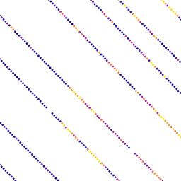
GEDI's Level 2A Geolocated Elevation and Height Metrics Product (GEDI02_A) is primarily composed of 100 Relative Height (RH) metrics, which collectively describe the waveform collected by GEDI. The original GEDI02_A product is a table of point with a spatial resolution (average footprint) of 25 meters. … elevation forest-biomass gedi larse nasa tree-cover -
GEDI L2A table index
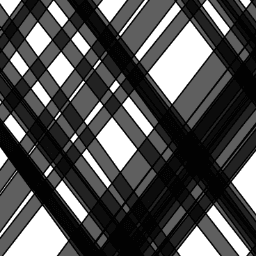
This is a feature collection created from the geometries of L2A tables in LARSE/GEDI/GEDI02_A_002. Each feature is a polygon footprint of a source table with its asset id and start/end timestamps. Please see User Guide for more information. The Global Ecosystem Dynamics Investigation GEDI mission … elevation forest-biomass gedi larse nasa table -
GEDI L2B Raster Canopy Cover Vertical Profile Metrics (Version 2)
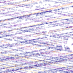
GEDI Level 2B Canopy Cover and Vertical Profile Metrics product (GEDI02_B) extracts biophysical metrics from each GEDI waveform. These metrics are based on the directional gap probability profile derived from the L1B waveform. The vertical step between foliage profile measurements (known as dZ in GEDI … elevation forest-biomass gedi larse nasa tree-cover -
GEDI L2B Vector Canopy Cover Vertical Profile Metrics (Version 2)
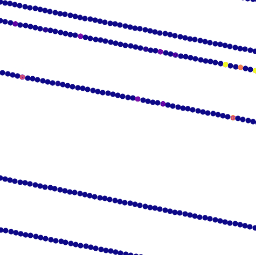
GEDI Level 2B Canopy Cover and Vertical Profile Metrics product (GEDI02_B) extracts biophysical metrics from each GEDI waveform. These metrics are based on the directional gap probability profile derived from the L1B waveform. The vertical step between foliage profile measurements (known as dZ in GEDI … elevation forest-biomass gedi larse nasa tree-cover -
GEDI L2B table index
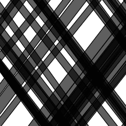
This is a feature collection created from the geometries of L2B tables in LARSE/GEDI/GEDI02_B_002. Each feature is a polygon footprint of a source table with its asset id and start/end timestamps. Please see User Guide for more information. The Global Ecosystem Dynamics Investigation GEDI mission … elevation forest-biomass gedi larse nasa table -
GEDI L4A Aboveground Biomass Density, Version 2.1

This dataset contains Global Ecosystem Dynamics Investigation (GEDI) Level 4A (L4A) Version 2 predictions of the aboveground biomass density (AGBD; in Mg/ha) and estimates of the prediction standard error within each sampled geolocated laser footprint. In this version, the granules are in sub-orbits. Height metrics … elevation forest-biomass gedi larse nasa tree-cover -
GEDI L4A Raster Aboveground Biomass Density, Version 2.1

This dataset contains Global Ecosystem Dynamics Investigation (GEDI) Level 4A (L4A) Version 2 predictions of the aboveground biomass density (AGBD; in Mg/ha) and estimates of the prediction standard error within each sampled geolocated laser footprint. In this version, the granules are in sub-orbits. Height metrics … elevation forest-biomass gedi larse nasa tree-cover -
GEDI L4A table index

This is a feature collection created from the geometries of L4A tables in LARSE/GEDI/GEDI04_A_002. Each feature is a polygon footprint of a source table with its asset id and start/end timestamps. Please see User Guide for more information. The Global Ecosystem Dynamics Investigation GEDI mission … elevation forest-biomass gedi larse nasa table -
GEDI L4B Gridded Aboveground Biomass Density (Version 2)
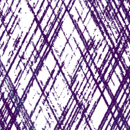
This Global Ecosystem Dynamics Investigation (GEDI) L4B product provides 1 km x 1 km estimates of mean aboveground biomass density (AGBD) based on observations from mission week 19 starting on 2019-04-18 to mission week 138 ending on 2021-08-04. The GEDI L4A Footprint Biomass product converts … elevation forest-biomass gedi larse nasa tree-cover -
Gridded GEDI Vegetation Structure Metrics and Biomass Density with COUNTS metrics, 12KM pixel size
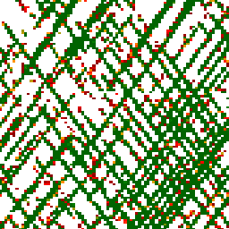
This dataset consists of near-global, analysis-ready, multi-resolution gridded vegetation structure metrics derived from NASA Global Ecosystem Dynamics Investigation (GEDI) Level 2 and 4A products associated with 25-m diameter lidar footprints. This dataset provides a comprehensive representation of near-global vegetation structure that is inclusive of the … biomass canopy forest forest-biomass gedi larse -
Gridded GEDI Vegetation Structure Metrics and Biomass Density with COUNTS metrics, 1KM pixel size
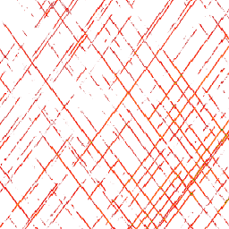
This dataset consists of near-global, analysis-ready, multi-resolution gridded vegetation structure metrics derived from NASA Global Ecosystem Dynamics Investigation (GEDI) Level 2 and 4A products associated with 25-m diameter lidar footprints. This dataset provides a comprehensive representation of near-global vegetation structure that is inclusive of the … biomass canopy forest forest-biomass gedi larse -
Gridded GEDI Vegetation Structure Metrics and Biomass Density with COUNTS metrics, 6KM pixel size
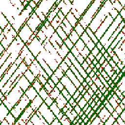
This dataset consists of near-global, analysis-ready, multi-resolution gridded vegetation structure metrics derived from NASA Global Ecosystem Dynamics Investigation (GEDI) Level 2 and 4A products associated with 25-m diameter lidar footprints. This dataset provides a comprehensive representation of near-global vegetation structure that is inclusive of the … biomass canopy forest forest-biomass gedi larse -
Gridded GEDI Vegetation Structure Metrics and Biomass Density, 12KM pixel size
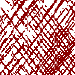
This dataset consists of near-global, analysis-ready, multi-resolution gridded vegetation structure metrics derived from NASA Global Ecosystem Dynamics Investigation (GEDI) Level 2 and 4A products associated with 25-m diameter lidar footprints. This dataset provides a comprehensive representation of near-global vegetation structure that is inclusive of the … biomass canopy forest forest-biomass gedi larse -
Gridded GEDI Vegetation Structure Metrics and Biomass Density, 1KM pixel size
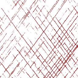
This dataset consists of near-global, analysis-ready, multi-resolution gridded vegetation structure metrics derived from NASA Global Ecosystem Dynamics Investigation (GEDI) Level 2 and 4A products associated with 25-m diameter lidar footprints. This dataset provides a comprehensive representation of near-global vegetation structure that is inclusive of the … biomass canopy forest forest-biomass gedi larse -
Gridded GEDI Vegetation Structure Metrics and Biomass Density, 6KM pixel size
This dataset consists of near-global, analysis-ready, multi-resolution gridded vegetation structure metrics derived from NASA Global Ecosystem Dynamics Investigation (GEDI) Level 2 and 4A products associated with 25-m diameter lidar footprints. This dataset provides a comprehensive representation of near-global vegetation structure that is inclusive of the … biomass canopy forest forest-biomass gedi larse