Datasets tagged l7 in Earth Engine
Оптимизируйте свои подборки
Сохраняйте и классифицируйте контент в соответствии со своими настройками.
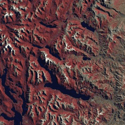
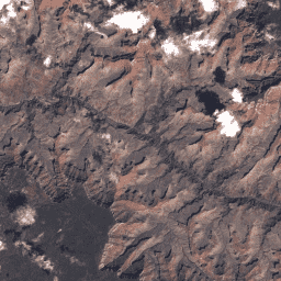
Landsat Global Land Survey 2005, Landsat 7 изображений
Набор данных GLS2005 представляет собой коллекцию из 9500 ортотрансформированных спутниковых снимков среднего разрешения, полученных с 2004 по 2007 год и охватывающих земную сушу. GLS2005 использует в основном данные Landsat 5 и заполненные пробелами данные Landsat 7, а также данные EO-1 ALI и Terra ASTER, заполняющие любые…
Коллекция снимков USGS Landsat 7 2 Tier 1 Raw Scenes
Значения DN Landsat 7 Collection 2 Tier 1, представляющие масштабированную, калиброванную интенсивность излучения на датчике. Сцены Landsat с наивысшим доступным качеством данных относятся к Tier 1 и считаются подходящими для анализа обработки временных рядов. Tier 1 включает обработанные данные Level-1 Precision Terrain (L1TP), которые…
Данные USGS Landsat 7 Collection 2 Tier 1 и данные в реальном времени, необработанные сцены
Значения DN данных Landsat 7 Collection 2 Tier 1 и Real-Time, представляющие масштабированную, калиброванную интенсивность излучения на датчике. Сцены Landsat с максимально возможным качеством данных относятся к Tier 1 и считаются подходящими для анализа временных рядов. Tier 1 включает обработку данных Level-1 Precision Terrain (L1TP)…
Коллекция снимков USGS Landsat 7 2 Tier 2 Raw Scenes
Значения DN уровня 2 для Landsat 7 Collection 2, представляющие масштабированную, калиброванную интенсивность излучения на датчике. Сцены, не соответствующие критериям уровня 1 во время обработки, относятся к уровню 2. Это включает обработанные сцены Systematic Terrain (L1GT) и Systematic (L1GS), а также любые сцены L1TP, которые не…
[[["Прост для понимания","easyToUnderstand","thumb-up"],["Помог мне решить мою проблему","solvedMyProblem","thumb-up"],["Другое","otherUp","thumb-up"]],[["Отсутствует нужная мне информация","missingTheInformationINeed","thumb-down"],["Слишком сложен/слишком много шагов","tooComplicatedTooManySteps","thumb-down"],["Устарел","outOfDate","thumb-down"],["Проблема с переводом текста","translationIssue","thumb-down"],["Проблемы образцов/кода","samplesCodeIssue","thumb-down"],["Другое","otherDown","thumb-down"]],[],[],["The core content details several Landsat 7 datasets from the USGS. The GLS2005 dataset features 9500 orthorectified satellite images collected between 2004-2007, utilizing Landsat 5, 7, EO-1 ALI, and Terra ASTER data. Landsat 7 Collection 2 data is divided into Tier 1 and Tier 2 based on quality; Tier 1 data contains high-quality, calibrated radiance data suitable for time-series analysis, whereas Tier 2 includes lower-quality processed data. There is also a tier 1 real time data.\n"]]