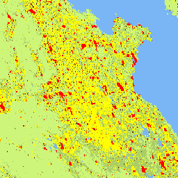
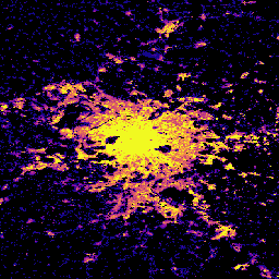
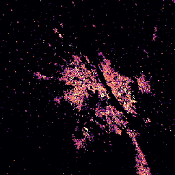
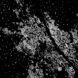
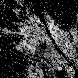
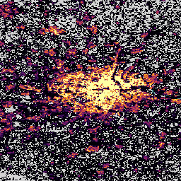
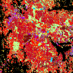
このラスター データセットは、100 m グリッドセルあたりの平方メートルで表される、構築済み表面の分布を示しています。このデータセットは、a)構築済み表面の総面積と、b)主に非住宅(NRES)用途のグリッドセルに割り当てられた構築済み表面の面積を測定します。データは空間的および時間的に補間されるか、…
[[["わかりやすい","easyToUnderstand","thumb-up"],["問題の解決に役立った","solvedMyProblem","thumb-up"],["その他","otherUp","thumb-up"]],[["必要な情報がない","missingTheInformationINeed","thumb-down"],["複雑すぎる / 手順が多すぎる","tooComplicatedTooManySteps","thumb-down"],["最新ではない","outOfDate","thumb-down"],["翻訳に関する問題","translationIssue","thumb-down"],["サンプル / コードに問題がある","samplesCodeIssue","thumb-down"],["その他","otherDown","thumb-down"]],[],[],["The content describes multiple Global Human Settlement Layer (GHSL) datasets, each focused on different aspects of human settlements. These datasets include: settlement characteristics, building height, built-up surface area (at 10m and 100m), building volume, population distribution, and degree of urbanization. The data spans from 1975 to 2030, providing historical data and projections, all derived from satellite imagery and census information. Each dataset measures in square or cubic meters.\n"]]