Landsat, a joint program of the USGS and NASA, has been observing the Earth continuously from 1972 through the present day. Today the Landsat satellites image the entire Earth's surface at a 30-meter resolution about once every two weeks, including multispectral and thermal data. The USGS produces data in 3 categories for each satellite (Tier 1, Tier 2 and RT). Read more about the different tiers.
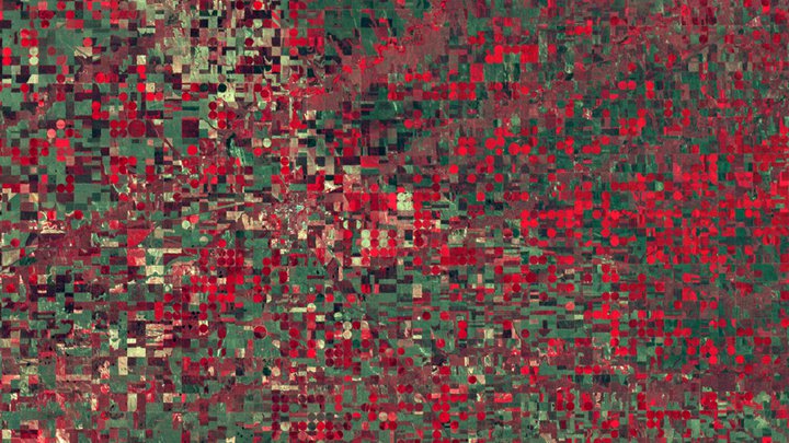
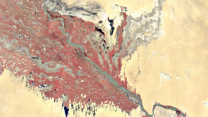
Landsat Multispectral Scanner (MSS): Landsat 1–5 each carried the MSS sensor, which collected four or five spectral bands of surface reflectance in the visible and near-infrared spectrum at 80m resolution. Read more about the MSS system at NASA Landsat Science.
Landsat 1
Landsat 1 MSS Collection 2 DN values, representing scaled, calibrated at-sensor radiance.
Dataset Availability: July 1972–January 1978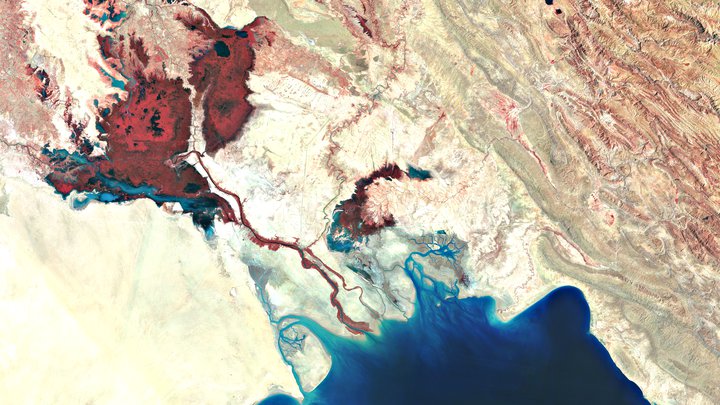
Landsat 2
Landsat 2 MSS Collection 2 DN values, representing scaled, calibrated at-sensor radiance.
Dataset Availability: January 1975–February 1982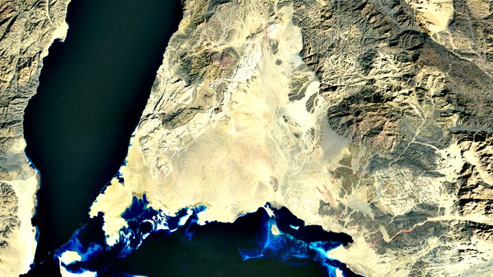
Landsat 3
Landsat 3 MSS Collection 2 DN values, representing scaled, calibrated at-sensor radiance.
Dataset Availability: March 1978–March 1983