Page Summary
-
The Canadian Digital Elevation Model (CDEM) is a dataset from Natural Resources Canada (NRCan) containing ground or reflective surface elevations.
-
The CDEM consists of multiple digital elevation models with varying resolutions, starting at a base resolution of 0.75 arc-seconds.
-
The dataset includes a single band named 'elevation' with values in meters and a pixel size of 23.19 meters.
-
The data is available from 1945 to 2011 and is licensed under the Open Government Licence - Canada.
- Dataset Availability
- 1945-01-01T00:00:00Z–2011-01-01T00:00:00Z
- Dataset Producer
- NRCan
- Tags
Description
The Canadian Digital Elevation Model (CDEM) is part of Natural Resources Canada's (NRCan) altimetry system and stems from the existing Canadian Digital Elevation Data (CDED). In these data, elevations can be either ground or reflective surface elevations.
The CDEM is comprised of multiple DEMs with varying resolutions. These vary according to latitude and have a base resolution of 0.75 arc-seconds. For more information see the Product Specifications
Contains information licensed under the Open Government Licence - Canada.
Bands
Bands
Pixel size: 23.19 meters (all bands)
| Name | Units | Min | Max | Pixel Size | Description |
|---|---|---|---|---|---|
elevation |
m | -226* | 5944* | 23.19 meters | Elevation |
Terms of Use
Terms of Use
Licensed under the Open Government Licence - Canada.
Explore with Earth Engine
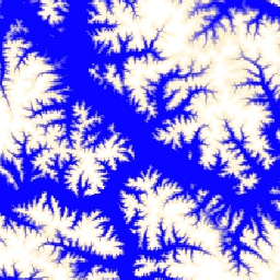
Code Editor (JavaScript)
var dataset = ee.ImageCollection('NRCan/CDEM');
var elevation = dataset.select('elevation');
var elevationVis = {
  min: -50.0,
  max: 1500.0,
  palette: ['0905ff', 'ffefc4', 'ffffff'],
};
Map.setCenter(-139.3643, 63.3213, 9);
Map.addLayer(elevation, elevationVis, 'Elevation');