Page Summary
-
This dataset, MODIS/MCD43A2, is superseded by MODIS/061/MCD43A2 and describes the quality of other BRDF and Albedo products.
-
The data spans from 2000-02-18 to 2017-03-14 and is provided by NASA LP DAAC at the USGS EROS Center every 8 days.
-
It contains 16 days of data at 500-meter resolution, including albedo quality, snow conditions, and inversion information.
-
Version-5 products are Validated Stage 1, ready for scientific publications.
-
MODIS data and products acquired through LP DAAC have no restrictions on subsequent use, sale, or redistribution.
- Dataset Availability
- 2000-02-18T00:00:00Z–2017-03-14T00:00:00Z
- Dataset Producer
- NASA LP DAAC at the USGS EROS Center
- Cadence
- 8 Days
- Tags
Description
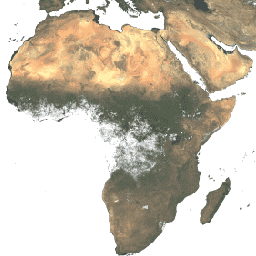
The MODerate-resolution Imaging Spectroradiometer (MODIS) BRDF/Albedo Quality product (MCD43A2) describes the overall condition of the other BRDF and Albedo products. The MCD43A2 product contains 16 days of data at 500 meter spatial resolution provided in a level-3 gridded data set in Sinusoidal projection, and includes albedo quality, snow conditions, ancillary information, and inversion information. Both Terra and Aqua data are used in the generation of this product, providing the highest probability for quality input data and designating it as an MCD, meaning Combined, product.
Version-5 MODIS/Terra+Aqua BRDF/Albedo products are Validated Stage 1, meaning that accuracy has been estimated using a small number of independent measurements obtained from selected locations and time periods and ground-truth/field program efforts. Although there may be later improved versions, these data are ready for use in scientific publications.
Please visit LP DAAC 'Citing Our Data' page for information on citing LP DAAC datasets.
Terms of Use
Terms of Use
MODIS data and products acquired through the LP DAAC have no restrictions on subsequent use, sale, or redistribution.