
The endpoints here return linear contrail detections and contrail detection probabilities.
Detections
Line segments representing detected contrails.
Detections provide observational contrail detection data only and aren't mapped to specific flights. However, they can be filtered by time ranges, bounding box and satellite origins.
It is important to note that data consistency cannot be guaranteed for detections as detection models may be upgraded or data backfills may occur between reads.
Detections format
Detections are in GeoJSON format containing a FeatureCollection:
{
  "type": "FeatureCollection",
  "features": [
    {
      "type": "Feature",
      "geometry": {
        "type": "LineString",
        "coordinates": [
          [
            90.23562622070312,
            44.00904083251953
          ],
          [
            91.37249755859375,
            43.36760711669922
          ]
        ]
      },
      "properties": {
        "time": "2026-01-27T12:10:00+00:00",
        "satellite_origin": "HIMAWARI-FULL-DISK"
      }
    },
    {
      "type": "Feature",
      "geometry": {
        "type": "LineString",
        "coordinates": [
          [
            100.54035949707031,
            3.5992228984832764
          ],
          [
            100.66291046142578,
            3.370659112930298
          ]
        ]
      },
      "properties": {
        "time": "2026-01-27T12:10:00+00:00",
        "satellite_origin": "HIMAWARI-FULL-DISK"
      }
    },
    ...
  ]
}
Detection Masks
A NetCDF representing contrail detection probabilities.
Detection masks provide observational contrail detection data only and aren't mapped to specific flights. They can be filtered by time ranges, bounding box and satellite origins. Optionally, per-pixel scantime offsets can be included, which measures the delta between satellite image time and the satellite's actual pixel scan time.
Note that data consistency cannot be guaranteed (for the same reasons as mentioned earlier in detections).
Detections masks format
See examples.
Notes
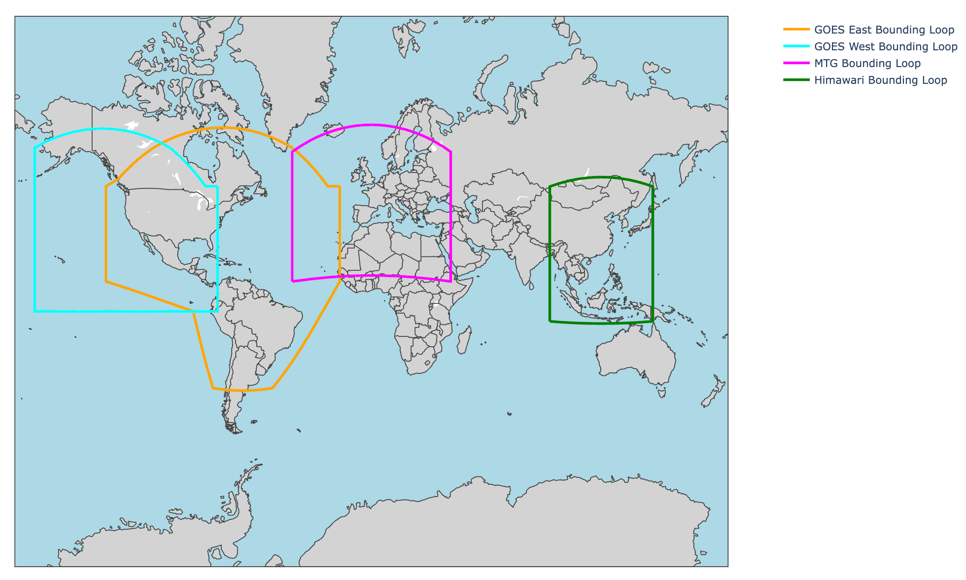
Contrails API satellite imagery is based on:
- NOAA GOES data 2019–2026
- EUMETSAT Meteosat FCI data 2024–2026, and
- JAMSTEC DIAS (Himawari data) 2025–2026
For GetDetections, the satellites used different regions for
binary detection identification:
License
The data exposed by the Detections API is licensed under CC BY-NC-SA 4.0.