-
CHIRPS 강수량 일일 거의 실시간: Climate Hazards Center InfraRed Precipitation With Station Data (버전 3.0, IMERG 기반)
Climate Hazards Center Infrared Precipitation with Stations (CHIRPS v3)는 40년 이상 된 고해상도 준전역 강우량 데이터 세트입니다. 북위 60도에서 남위 60도까지 걸쳐 있으며 모든 경도를 포함하고 1981년부터 현재까지의 데이터를 제공합니다. CHIRPS v3는 위성 기반 열 적외선 강우량 추정치와 현장 관측소 관측치를 결합합니다. chc climate geophysical precipitation ucsb weather -
CHIRPS 강수 일일 재분석: Climate Hazards Center InfraRed Precipitation With Station Data (버전 3.0, ERA5 기반)
Climate Hazards Center Infrared Precipitation with Stations (CHIRPS v3)는 40년 이상 된 고해상도 준전역 강우량 데이터 세트입니다. 북위 60도에서 남위 60도까지 걸쳐 있으며 모든 경도를 포함하고 1981년부터 현재까지의 데이터를 제공합니다. CHIRPS v3는 위성 기반 열 적외선 강우량 추정치와 현장 관측소 관측치를 결합합니다. chc climate geophysical precipitation ucsb weather -
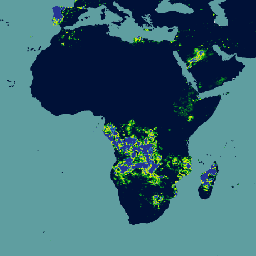
CHIRPS 강수량 일일: Climate Hazards Center InfraRed Precipitation With Station Data (버전 2.0 최종)

Climate Hazards Center InfraRed Precipitation with Station data (CHIRPS)는 30년 이상 된 준전역 강우량 데이터 세트입니다. CHIRPS는 0.05° 해상도 위성 이미지를 현장 관측소 데이터와 통합하여 추세 분석 및 계절별 가뭄 모니터링을 위한 그리드 강우량 시계열을 생성합니다. chg climate geophysical precipitation ucsb weather -
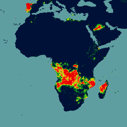
CHIRPS 강수 5일: Climate Hazards Center InfraRed Precipitation With Station Data (버전 2.0 최종)

Climate Hazards Center InfraRed Precipitation with Station data (CHIRPS)는 30년 이상 된 준전역 강우량 데이터 세트입니다. CHIRPS는 0.05° 해상도 위성 이미지를 현장 관측소 데이터와 통합하여 추세 분석 및 계절별 가뭄 모니터링을 위한 그리드 강우량 시계열을 생성합니다. chg climate geophysical precipitation ucsb weather -
CHIRPS 강수량 5일: Climate Hazards Center InfraRed Precipitation With Station Data (버전 3.0)
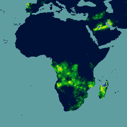
Climate Hazards Center Infrared Precipitation with Stations (CHIRPS v3)는 40년 이상 된 고해상도 준전역 강우량 데이터 세트입니다. 북위 60도에서 남위 60도까지 걸쳐 있으며 모든 경도를 포함하고 1981년부터 현재까지의 데이터를 제공합니다. CHIRPS v3는 위성 기반 열 적외선 강우량 추정치와 현장 관측소 관측치를 결합합니다. chc chg climate geophysical precipitation ucsb -
CHIRTS Temperature Daily: Climate Hazards Center InfraRed Temperature with Stations 일일 데이터 제품

기후 위험 센터 적외선 온도 (CHIRTS-daily; Verdin et al. 2020)의 일일 온도 데이터 제품은 준전역 고해상도 그리드 데이터 세트 (0.05° × 0.05° 해상도, 60°S~70°N)로, 일일 최소 (Tmin) 및 최대 2미터 온도 (Tmax)와 포화 수증기압, … chg climate daily era5 geophysical reanalysis -
기후 위험 센터 (CHC) 결합 모델 비교 프로젝트 6단계 (CHC-CMIP6)

CHC-CMIP6는 최근 과거와 가까운 미래의 기후 관련 위험 분석을 지원하기 위해 명시적으로 개발되었습니다. 이 기후 예측 데이터 세트에는 관측 기간 (1983~2016년) 및 예측 기간 (2030년 및 2050년)의 전 세계 일일 그리드 데이터가 포함되어 있으며, 이는 식별 및 … 기후 지구물리학 강수량 ucsb 날씨