Page Summary
-
JAXA is providing ALOS-2 PALSAR-2 emergency observation data starting January 1st, 2024 for disaster management.
-
The PALSAR-2 ScanSAR data provides normalized backscatter from a broad area observation mode with a 350 km width.
-
The Sentinel-1 mission offers daily updated C-band Synthetic Aperture Radar Ground Range Detected scenes that are calibrated and ortho-corrected.
-
ALOS-2 PALSAR-2 StripMap Level 2.1
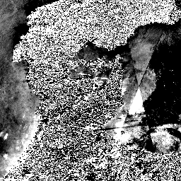
Starting from the night of January 1st, 2024, based on the request from Japanese ministries and related organization, JAXA implemented ALOS-2 PALSAR-2 emergency observation. Since JAXA expects these emergency observation data to be extremely useful for disaster management, JAXA decided to open these data on … alos2 eroc jaxa palsar2 radar sar -
Copernicus Global In-situ Observations of Ocean Currents - Radar Radial
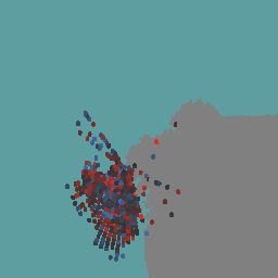
The In Situ TAC is a distributed centre organized around 7 oceanographic regions: the global ocean and the 6 EUROGOOS regional alliances. It involves 14 partners from 11 countries in Europe. It doesn't deploy any observing system and relies on data, exclusively funded by other … copernicus currents insitu marine ocean oceans -
Copernicus Global In-situ Observations of Ocean Currents - Radar Total
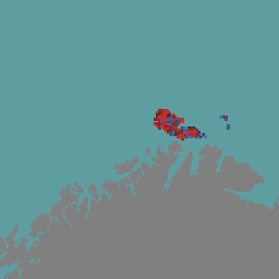
The In Situ TAC is a distributed centre organized around 7 oceanographic regions: the global ocean and the 6 EUROGOOS regional alliances. It involves 14 partners from 11 countries in Europe. It doesn't deploy any observing system and relies on data, exclusively funded by other … copernicus currents insitu marine ocean oceans -
Global Seasonal Sentinel-1 Interferometric Coherence and Backscatter V2019 Backscatter
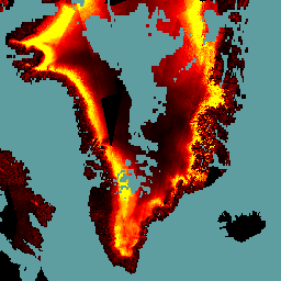
This data set is the first-of-its-kind spatial representation of multi-seasonal, global C-band Synthetic Aperture Radar (SAR) interferometric repeat-pass coherence and backscatter signatures. Coverage comprises land masses and ice sheets from 82 degrees Northern to 79 degrees Southern latitudes. The data set is derived from multi-temporal … backscatter earth-big-data jpl nasa polarization radar -
Global Seasonal Sentinel-1 Interferometric Coherence and Backscatter V2019 Coherence
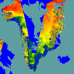
This data set is the first-of-its-kind spatial representation of multi-seasonal, global C-band Synthetic Aperture Radar (SAR) interferometric repeat-pass coherence and backscatter signatures. Coverage comprises land masses and ice sheets from 82 degrees Northern to 79 degrees Southern latitudes. The data set is derived from multi-temporal … earth-big-data jpl nasa polarization radar sar -
Global Seasonal Sentinel-1 Interferometric Coherence and Backscatter V2019 Decay Model Parameters
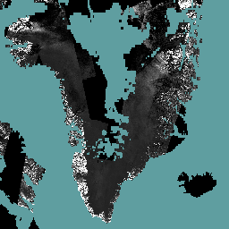
This data set is the first-of-its-kind spatial representation of multi-seasonal, global C-band Synthetic Aperture Radar (SAR) interferometric repeat-pass coherence and backscatter signatures. Coverage comprises land masses and ice sheets from 82 degrees Northern to 79 degrees Southern latitudes. The data set is derived from multi-temporal … earth-big-data jpl nasa polarization radar sar -
Global Seasonal Sentinel-1 Interferometric Coherence and Backscatter V2019 Incidence Layover Shadow
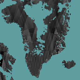
This data set is the first-of-its-kind spatial representation of multi-seasonal, global C-band Synthetic Aperture Radar (SAR) interferometric repeat-pass coherence and backscatter signatures. Coverage comprises land masses and ice sheets from 82 degrees Northern to 79 degrees Southern latitudes. The data set is derived from multi-temporal … earth-big-data jpl nasa polarization radar sar -
PALSAR-2 ScanSAR Level 2.2

The 25 m PALSAR-2 ScanSAR is normalized backscatter data of PALSAR-2 broad area observation mode with observation width of 350 km. The SAR imagery was ortho-rectificatied and slope corrected using the ALOS World 3D - 30 m (AW3D30) Digital Surface Model. Polarization data are stored … alos2 eroc jaxa palsar2 radar sar -
Sentinel-1 SAR GRD: C-band Synthetic Aperture Radar Ground Range Detected, log scaling

The Sentinel-1 mission provides data from a dual-polarization C-band Synthetic Aperture Radar (SAR) instrument at 5.405GHz (C band). This collection includes the S1 Ground Range Detected (GRD) scenes, processed using the Sentinel-1 Toolbox to generate a calibrated, ortho-corrected product. The collection is updated daily. New … backscatter copernicus esa eu polarization radar