Page Summary
-
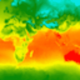
CFSR is a global, high-resolution reanalysis providing estimates of coupled atmosphere-ocean-land surface-sea ice states.
-
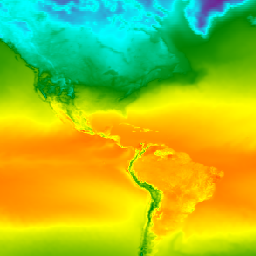
CFSV2 is a fully coupled model representing the interaction between Earth's atmosphere, oceans, land, and sea ice.
-
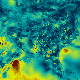
RTMA provides high-resolution analysis for near-surface weather conditions with hourly data for CONUS.
-
CFSR: Climate Forecast System Reanalysis

The National Centers for Environmental Prediction (NCEP) Climate Forecast System Reanalysis (CFSR) was designed and executed as a global, high-resolution, coupled atmosphere-ocean-land surface-sea ice system to provide the best estimate of the state of these coupled domains over the 32-year period of record from January … climate daylight flux forecast geophysical ncep -
CFSV2: NCEP Climate Forecast System Version 2, 6-Hourly Products Harmonized

The National Centers for Environmental Prediction (NCEP) Climate Forecast System (CFS) is a fully coupled model representing the interaction between the Earth's atmosphere, oceans, land, and sea ice. CFS was developed at the Environmental Modeling Center (EMC) at NCEP. The operational CFS was upgraded to … climate daylight flux forecast geophysical ncep -
RTMA: Real-Time Mesoscale Analysis

The Real-Time Mesoscale Analysis (RTMA) is a high-spatial and temporal resolution analysis for near-surface weather conditions. This dataset includes hourly analyses at 2.5 km for CONUS. atmosphere climate cloud geophysical humidity noaa