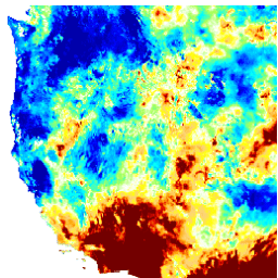
Bu veri kümesi, 4 km'lik günlük Izgaralanmış Yüzey Meteoroloji (GRIDMET) veri kümesinden elde edilen kuraklık indekslerini içerir. Sağlanan kuraklık indeksleri arasında Standart Yağış İndeksi (SPI), Evaporatif Kuraklık Talebi İndeksi (EDDI), Standart Yağış Evapotranspirasyon İndeksi (SPEI), Palmer Kuraklık Şiddet İndeksi (PDSI) ve Palmer …
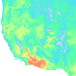
Izgaralanmış Yüzey Meteoroloji Veri Kümesi, 1979'dan itibaren Kıta ABD'si genelinde sıcaklık, yağış, rüzgar, nem ve radyasyona ilişkin yüksek uzamsal çözünürlükte (~4 km) günlük yüzey verileri sağlar. Veri kümesi, PRISM'den alınan yüksek çözünürlüklü uzamsal verileri, National Land Data Assimilation System'den (NLDAS) alınan yüksek zamansal çözünürlüklü verilerle harmanlayarak ...
[[["Anlaması kolay","easyToUnderstand","thumb-up"],["Sorunumu çözdü","solvedMyProblem","thumb-up"],["Diğer","otherUp","thumb-up"]],[["İhtiyacım olan bilgiler yok","missingTheInformationINeed","thumb-down"],["Çok karmaşık / çok fazla adım var","tooComplicatedTooManySteps","thumb-down"],["Güncel değil","outOfDate","thumb-down"],["Çeviri sorunu","translationIssue","thumb-down"],["Örnek veya kod sorunu","samplesCodeIssue","thumb-down"],["Diğer","otherDown","thumb-down"]],[],[],["The datasets provide climate and drought-related information for the contiguous United States. The GRIDMET dataset offers daily surface measurements like temperature, precipitation, humidity, winds, and radiation at a 4-km resolution from 1979. The GRIDMET Drought dataset contains drought indices derived from the GRIDMET dataset, including the Standardized Precipitation Index (SPI), Evaporative Drought Demand Index (EDDI), and the Palmer Drought Severity Index (PDSI). These sets focus on daily, gridded data at a high resolution.\n"]]