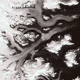
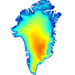
このデータセットは、NASA の Making Earth System Data Records for Use in Research Environments(MEaSUREs)プログラムの一部であり、選択した氷河出口領域の月平均速度マップで構成されています。この地図は、Landsat が取得した光学画像ペア間の可視特徴を追跡することで生成されます。
[[["わかりやすい","easyToUnderstand","thumb-up"],["問題の解決に役立った","solvedMyProblem","thumb-up"],["その他","otherUp","thumb-up"]],[["必要な情報がない","missingTheInformationINeed","thumb-down"],["複雑すぎる / 手順が多すぎる","tooComplicatedTooManySteps","thumb-down"],["最新ではない","outOfDate","thumb-down"],["翻訳に関する問題","translationIssue","thumb-down"],["サンプル / コードに問題がある","samplesCodeIssue","thumb-down"],["その他","otherDown","thumb-down"]],[],[],["The Greenland Ice Mapping Project (GIMP) provides several datasets focused on Greenland. These include: land ice and ocean classification masks at 15m resolution using Landsat 7 imagery; a 15m resolution image mosaic of the Greenland ice sheet from Landsat 7 and RADARSAT-1 SAR imagery (1999-2002); a Digital Elevation Model (DEM) using ASTER, SPOT-5, and AVHRR data; and monthly glacier velocity maps from tracking features in optical Landsat image pairs. All data is obtained under the MEaSUREs program.\n"]]