Page Summary
-
The TIGER dataset from the U.S. Census Bureau provides geographical data for various administrative and statistical areas.
-
The dataset includes boundaries for census blocks, block groups, ZIP Code tabulation areas, counties, states, and census tracts from different years.
-
TIGER also contains road segment data covering the United States and associated territories.
-
Demographic profile data aggregated by census tract is available within the TIGER dataset.
-
TIGER: 2020 Tabulation (Census) Block
The United States Census Bureau regularly releases a geodatabase named TIGER. This dataset contains the 2020 census blocks, roughly equivalent to a city block. There are just over eight million polygon features covering the United States, the District of Columbia, Puerto Rico, and the Island … census city infrastructure-boundaries neighborhood table tiger -
TIGER: US Census Block Groups (BG) 2010

The United States Census Bureau regularly releases a geodatabase named TIGER. This dataset contains the 2010 census block groups, which is a cluster of blocks within the same census tract that have the same first digit of their four-digit census block number. There are just … census city infrastructure-boundaries neighborhood table tiger -
TIGER: US Census Block Groups (BG) 2020
The United States Census Bureau regularly releases a geodatabase named TIGER. This dataset contains the 2020 census block groups, which is a cluster of blocks within the same census tract that have the same first digit of their four-digit census block number. There are just … census city infrastructure-boundaries neighborhood table tiger -
TIGER: US Census Blocks
The United States Census Bureau regularly releases a geodatabase named TIGER. This dataset contains the 2010 census blocks, roughly equivalent to a city block. There are just over 11 million polygon features covering the United States, the District of Columbia, Puerto Rico, and the Island … census city infrastructure-boundaries neighborhood table tiger -
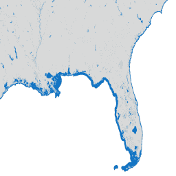
TIGER: US Census Counties 2016
The United States Census Bureau TIGER dataset contains the 2016 boundaries for primary legal divisions of US states. In most states, these entities are termed "counties". In Louisiana, these divisions are known as "parishes". Alaska has governmental entities called "boroughs" which fill a similar governmental … census county infrastructure-boundaries table tiger us -
TIGER: US Census Counties 2018

The United States Census Bureau TIGER dataset contains the 2018 boundaries for primary legal divisions of US states. In most states, these entities are termed "counties". In Louisiana, these divisions are known as "parishes". Alaska has governmental entities called "boroughs" which fill a similar governmental … census county infrastructure-boundaries table tiger us -
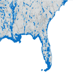
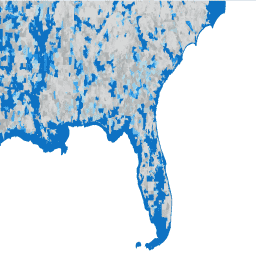
TIGER: US Census Roads

This United States Census Bureau TIGER dataset contains all road segments from the 2016 release, containing more than 19 million individual line features covering the United States, the District of Columbia, Puerto Rico, and the Island Areas. Each feature represents a road segment geometry (a … census infrastructure-boundaries roads table tiger us -
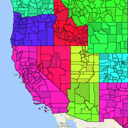
TIGER: US Census States 2016
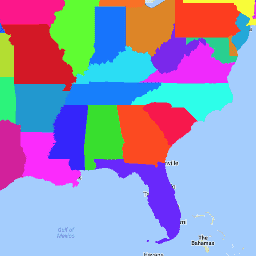
The United States Census Bureau TIGER dataset contains the 2016 boundaries for the primary governmental divisions of the United States. In addition to the fifty states, the Census Bureau treats the District of Columbia, Puerto Rico, and each of the island areas (American Samoa, the … census infrastructure-boundaries state states table tiger -
TIGER: US Census States 2018
The United States Census Bureau TIGER dataset contains the 2018 boundaries for the primary governmental divisions of the United States. In addition to the fifty states, the Census Bureau treats the District of Columbia, Puerto Rico, and each of the island areas (American Samoa, the … census infrastructure-boundaries state states table tiger -
TIGER: US Census Tracts
The United States Census Bureau regularly releases a geodatabase named TIGER. This dataset contains the 2020 census tracts. Tract areas vary tremendously, but in urban areas are roughly equivalent to a neighborhood. There are just over 85000 polygon features covering the United States, the District … census city infrastructure-boundaries neighborhood table tiger -
TIGER: US Census Tracts Demographic - Profile 1
The United States Census Bureau regularly releases a geodatabase named TIGER. This table contains the 2010 census Demographic Profile 1 values aggregated by census tract. Tract areas vary tremendously, but in urban areas are roughly equivalent to a neighborhood. There are about 74,000 polygon features … census infrastructure-boundaries table tiger us