Page Summary
-
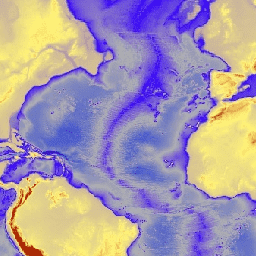
ETOPO1 is a 1 arc-minute global relief model integrating land topography and ocean bathymetry with ice_surface and bedrock elevation bands.
-
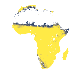
iSDAsoil provides predicted mean and standard deviation of depth to bedrock at 0-200 cm depth in Africa.
-
ETOPO1: Global 1 Arc-Minute Elevation

ETOPO1 is a 1 arc-minute global relief model of Earth''s surface that integrates land topography and ocean bathymetry. It was built from numerous global and regional data sets. It contains two elevation bands: ice_surface and bedrock. bedrock dem elevation elevation-topography geophysical ice -
iSDAsoil Depth to Bedrock

Depth to bedrock at 0-200 cm depth, predicted mean and standard deviation. Due to the potential cropland mask that was used for generating the data, many areas of exposed rock (where depth to bedrock would be 0 cm) have been masked out and therefore appear … africa bedrock isda soil