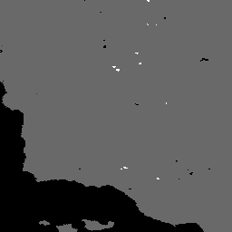
The MOD14A2 V6.1 dataset provides 8-day fire mask composites
at 1km resolution. It contains the maximum value of the individual
pixel classes over the compositing period. Along with the fire
mask, an associated quality information layer is also provided.
The MOD14A2 V6.1 dataset provides 8-day fire mask composites at 1km resolution. It contains the maximum value of the individual pixel classes over the compositing period. Along with the fire mask, an associated quality information layer is also provided. Documentation: User's Guide Algorithm Theoretical Basis Document (ATBD) General Documentation
[[["Easy to understand","easyToUnderstand","thumb-up"],["Solved my problem","solvedMyProblem","thumb-up"],["Other","otherUp","thumb-up"]],[["Missing the information I need","missingTheInformationINeed","thumb-down"],["Too complicated / too many steps","tooComplicatedTooManySteps","thumb-down"],["Out of date","outOfDate","thumb-down"],["Samples / code issue","samplesCodeIssue","thumb-down"],["Other","otherDown","thumb-down"]],[],[],["The MOD14A2 V6.1 dataset from NASA LP DAAC offers 8-day fire mask composites at a 1km resolution, spanning from February 18, 2000, to February 10, 2025. It's accessible via Google Earth Engine using the `ee.ImageCollection(\"MODIS/061/MOD14A2\")` snippet. The dataset includes the maximum fire pixel classifications with associated quality information, covering fire confidence levels. Data is free for research, education, and nonprofit uses, with no redistribution restrictions.\n"]]