대기권 상단 (TOA) 반사율로 보정된 Landsat 8 Collection 1 Tier 1입니다.
보정 계수는 이미지 메타데이터에서 추출됩니다.
TOA 계산에 관한 자세한 내용은 Chander et al. (2009)를 참고하세요.
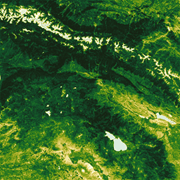
이러한 컴포지트는 연도의 첫날부터 연도의 마지막 날까지의 각 연간 기간에 있는 모든 장면에서 생성됩니다. 각 연도의 모든 이미지가 컴포지트에 포함되며, 가장 녹색인 픽셀이 컴포지트 값입니다. 여기서 가장 녹색인 픽셀은 정규화된 식생 지수 (NDVI) 값이 가장 높은 픽셀을 의미합니다.
대기권 상단 (TOA) 반사율로 보정된 Landsat 8 Collection 1 Tier 1입니다. 보정 계수는 이미지 메타데이터에서 추출됩니다. TOA 계산에 관한 자세한 내용은 Chander et al. (2009)을 참고하세요. 이러한 컴포지트는 연도의 첫날부터 시작되는 각 연간 기간의 모든 장면에서 생성되며 …
[[["이해하기 쉬움","easyToUnderstand","thumb-up"],["문제가 해결됨","solvedMyProblem","thumb-up"],["기타","otherUp","thumb-up"]],[["필요한 정보가 없음","missingTheInformationINeed","thumb-down"],["너무 복잡함/단계 수가 너무 많음","tooComplicatedTooManySteps","thumb-down"],["오래됨","outOfDate","thumb-down"],["번역 문제","translationIssue","thumb-down"],["샘플/코드 문제","samplesCodeIssue","thumb-down"],["기타","otherDown","thumb-down"]],[],[],["This dataset, available from 2013 to 2022 via Google Earth Engine, features Landsat 8 Collection 1 Tier 1 annual greenest-pixel top-of-atmosphere (TOA) reflectance composites. Each annual composite includes all scenes from that year, selecting the \"greenest\" pixel (highest NDVI) for each location. The data, provided by the USGS, includes 13 bands with varying pixel sizes and wavelengths, including thermal infrared, shortwave infrared, and a quality assessment bitmask, derived from image metadata. The product is public domain and can be used freely.\n"]]