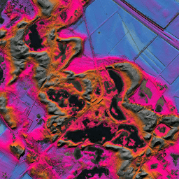
- 데이터 세트 제공
- 2012-01-01T00:00:00Z–2012-01-01T00:00:00Z
- 데이터 세트 제작자
- AHN
- 태그
설명
AHN DEM은 네덜란드를 포함하는 0.5m DEM입니다. 2007년에서 2012년 사이 봄에 촬영된 LiDAR 데이터에서 생성되었습니다.
지상 위의 다른 모든 항목 (예: 건물, 다리, 나무 등)이 삭제된 지상 수준 샘플이 포함되어 있습니다. 이 버전은 보간되지 않습니다. 객체가 삭제된 영역은 비워져 있으며 보간된 값으로 채워지지 않습니다. 포인트 클라우드는 제곱 역거리 가중치 방법을 사용하여 0.5m 그리드로 변환되었습니다.
대역
픽셀 크기
0.5m
대역
| 이름 | 단위 | 픽셀 크기 | 설명 |
|---|---|---|---|
elevation |
m | 미터 | 고도 |
이용약관
이용약관
AHN의 데이터 세트는 공개 데이터로 제공됩니다. 즉, 누구나 제한 없이 무료로 데이터를 사용할 수 있습니다. 자세한 내용은 공개 데이터 페이지를 참고하세요. 다운로드는 CC-0 라이선스 약관에 따라 제공됩니다.
Earth Engine으로 탐색
코드 편집기(JavaScript)
var dataset = ee.Image('AHN/AHN2_05M_NON');
var elevation = dataset.select('elevation');
var elevationVis = {
  min: -5.0,
  max: 30.0,
};
Map.setCenter(5.80258, 51.78547, 14);
Map.addLayer(elevation, elevationVis, 'Elevation');