Page Summary
-
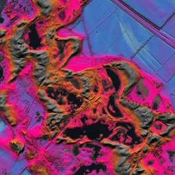
The AHN DEM is a 0.5m digital elevation model covering the Netherlands, generated from LIDAR data collected between 2007 and 2012.
-
This dataset contains ground level samples with features above ground removed and is non-interpolated, meaning removed areas are left blank.
-
The AHN dataset is available as Open Data and can be used freely and without restrictions under the terms of the CC-0 license.
-
The primary band in this dataset is 'elevation', measured in meters with a pixel size of 0.5 meters.
- Dataset Availability
- 2012-01-01T00:00:00Z–2012-01-01T00:00:00Z
- Dataset Producer
- AHN
- Tags
Description
The AHN DEM is a 0.5m DEM covering the Netherlands. It was generated from LIDAR data taken in the spring between 2007 and 2012.
It contains ground level samples with all other items above ground (such as buildings, bridges, trees etc.) removed. This version is non-interpolated; the areas where objects have been removed are left blank and not filled with interpolated values. The point cloud was converted to a 0.5m grid using a squared inverse distance weighting method.
Bands
Bands
Pixel size: 0.5 meters (all bands)
| Name | Units | Pixel Size | Description |
|---|---|---|---|
elevation |
m | 0.5 meters | Elevation |
Terms of Use
Terms of Use
The datasets of the AHN are available as Open Data. This means that the data can be used by anyone for free and without restrictions. For more information visit the Open Data page. Downloads are available under the terms of the CC-0 license.
Explore with Earth Engine
Code Editor (JavaScript)
var dataset = ee.Image('AHN/AHN2_05M_NON');
var elevation = dataset.select('elevation');
var elevationVis = {
  min: -5.0,
  max: 30.0,
};
Map.setCenter(5.80258, 51.78547, 14);
Map.addLayer(elevation, elevationVis, 'Elevation');