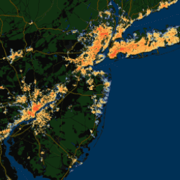
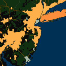
このデータセットには、世界中の 10,000 を超える都市クラスターの年間、夏季、冬季の昼間と夜間の地表都市熱島(SUHI)の強度が含まれています。このデータセットは、MODIS 8 日間の TERRA と AQUA の地表温度(LST)プロダクト、Landscan の都市範囲を使用して作成されました。…
このデータセットには、世界中の 10,000 を超える都市クラスターの年間、夏季、冬季の昼間と夜間の地表都市熱島(SUHI)の強度が含まれています。このデータセットは、MODIS 8 日間の TERRA と AQUA の地表温度(LST)プロダクト、Landscan の都市範囲を使用して作成されました。…
このデータセットには、世界中の 10,000 を超える都市クラスターの年間、夏季、冬季の昼間と夜間の地表都市熱島(SUHI)の強度が含まれています。このデータセットは、MODIS 8 日間の TERRA と AQUA の地表温度(LST)プロダクト、Landscan の都市範囲を使用して作成されました。…
このデータセットには、世界中の 10,000 を超える都市クラスターの年間、夏季、冬季の昼間と夜間の地表都市熱島(SUHI)の強度が含まれています。このデータセットは、MODIS 8 日間の TERRA と AQUA の地表温度(LST)プロダクト、Landscan の都市範囲を使用して作成されました。…
このデータセットには、世界中の 10,000 を超える都市クラスターの年間、夏季、冬季の昼間と夜間の地表都市熱島(SUHI)の強度が含まれています。このデータセットは、MODIS 8 日間の TERRA と AQUA の地表温度(LST)プロダクト、Landscan の都市範囲を使用して作成されました。…
このデータセットには、世界中の 10,000 を超える都市クラスターの年間、夏季、冬季の昼間と夜間の地表都市熱島(SUHI)の強度が含まれています。このデータセットは、MODIS 8 日間の TERRA と AQUA の地表温度(LST)プロダクト、Landscan の都市範囲を使用して作成されました。…
[[["わかりやすい","easyToUnderstand","thumb-up"],["問題の解決に役立った","solvedMyProblem","thumb-up"],["その他","otherUp","thumb-up"]],[["必要な情報がない","missingTheInformationINeed","thumb-down"],["複雑すぎる / 手順が多すぎる","tooComplicatedTooManySteps","thumb-down"],["最新ではない","outOfDate","thumb-down"],["翻訳に関する問題","translationIssue","thumb-down"],["サンプル / コードに問題がある","samplesCodeIssue","thumb-down"],["その他","otherDown","thumb-down"]],[],[],["The YCEO datasets provide surface urban heat island (SUHI) intensities for over 10,000 urban clusters globally. Data includes annual, summertime, and wintertime intensities, for both day and night. The information is derived from MODIS land surface temperature products and Landscan urban extent data. The datasets offer both pixel-level and spatially-averaged intensity composites, including yearly and monthly averages. These are for the annual, summer, and winter time, as well as for daytime and nighttime.\n"]]