
-
CHIRPS 降水量(日別、準リアルタイム): Climate Hazards Center InfraRed Precipitation With Station Data(バージョン 3.0、IMERG ベース)
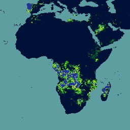
Climate Hazards Center Infrared Precipitation with Stations(CHIRPS v3)は、40 年以上にわたる高解像度の準グローバル降水量データセットです。北緯 60 度から南緯 60 度までの全経度をカバーし、1981 年から現在までのデータを提供しています。CHIRPS v3 は、衛星ベースの熱赤外線降水量推定値と現地観測所の観測値を組み合わせたものです。 chc climate geophysical precipitation ucsb weather -
CHIRPS 降水量(日別、再解析): Climate Hazards Center InfraRed Precipitation With Station Data(バージョン 3.0、ERA5 ベース)
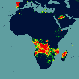
Climate Hazards Center Infrared Precipitation with Stations(CHIRPS v3)は、40 年以上にわたる高解像度の準グローバル降水量データセットです。北緯 60 度から南緯 60 度までの全経度をカバーし、1981 年から現在までのデータを提供しています。CHIRPS v3 は、衛星ベースの熱赤外線降水量推定値と現地観測所の観測値を組み合わせたものです。 chc climate geophysical precipitation ucsb weather -
CHIRPS 降水量(日別): Climate Hazards Center InfraRed Precipitation With Station Data(バージョン 2.0 Final)

Climate Hazards Center InfraRed Precipitation with Station data(CHIRPS)は、30 年以上にわたる準グローバル降水量データセットです。CHIRPS は、0.05° の解像度の衛星画像と現地観測所のデータを組み合わせて、傾向分析と季節的な干ばつモニタリングのためのグリッド化された降水量の時系列データを作成します。 chg climate geophysical precipitation ucsb weather -
CHIRPS 降水量(5 日間): Climate Hazards Center InfraRed Precipitation With Station Data(バージョン 2.0 Final)

Climate Hazards Center InfraRed Precipitation with Station data(CHIRPS)は、30 年以上にわたる準グローバル降水量データセットです。CHIRPS は、0.05° の解像度の衛星画像と現地観測所のデータを組み合わせて、傾向分析と季節的な干ばつモニタリングのためのグリッド化された降水量の時系列データを作成します。 chg climate geophysical precipitation ucsb weather -
CHIRPS 降水量(5 日間): Climate Hazards Center InfraRed Precipitation With Station Data(バージョン 3.0)
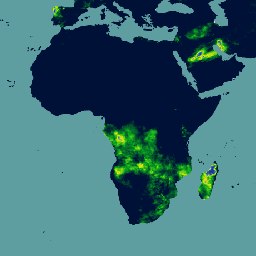
Climate Hazards Center Infrared Precipitation with Stations(CHIRPS v3)は、40 年以上にわたる高解像度の準グローバル降水量データセットです。北緯 60 度から南緯 60 度までの全経度をカバーし、1981 年から現在までのデータを提供しています。CHIRPS v3 は、衛星ベースの熱赤外線降水量推定値と現地観測所の観測値を組み合わせたものです。 chc chg climate geophysical precipitation ucsb -
CHIRTS 気温(日別): Climate Hazards Center InfraRed Temperature with Stations の日別データ プロダクト

Climate Hazards Center InfraRed Temperature with Stations の日別気温データ プロダクト(CHIRTS-daily、Verdin et al. 2020)は、準グローバルな高解像度グリッド データセット(解像度 0.05° × 0.05°、南緯 60 度~北緯 70 度)で、日別の最低気温(Tmin)と最高気温(Tmax)および 4 つの派生変数(飽和蒸気圧、相対湿度、露点温度、熱指数)を提供します。 chg climate daily era5 geophysical reanalysis -
Climate Hazards Center(CHC)結合モデル相互比較プロジェクト フェーズ 6(CHC-CMIP6)

CHC-CMIP6 は、過去から近い将来にかけての気候関連のハザードの分析をサポートするために明示的に開発されました。この気候予測データセットには、観測期間(1983 ~ 2016 年)と予測期間(2030 年と 2050 年)のグローバルな日別グリッド データが含まれており、特定に使用できます。 climate geophysical precipitation ucsb weather