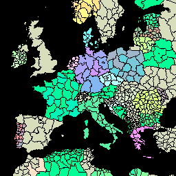
GAUL veri kümesinin bu sürümü 500 m'de basitleştirilmiştir. Küresel İdari Birim Katmanları (GAUL), dünyadaki tüm ülkeler için idari birimlerle ilgili mevcut en iyi bilgileri derleyip yayarak idari birimleri temsil eden mekansal veri kümesinin standartlaştırılmasına katkıda bulunur. …
Küresel İdari Birim Katmanları (GAUL), dünyadaki tüm ülkeler için idari birimlerle ilgili mevcut en iyi bilgileri derleyip yayarak idari birimleri temsil eden mekansal veri kümesinin standartlaştırılmasına katkıda bulunur. GAUL, her zaman birleşik bir … ile küresel katmanları korur.
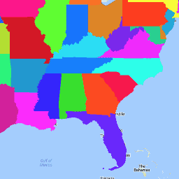
ABD Nüfus Sayımı Bürosu TIGER veri kümesi, ABD'nin temel idari bölümlerinin 2016 sınırlarını içerir. Nüfus İdaresi, elli eyalete ek olarak District of Columbia, Porto Riko ve ada bölgelerinin her birini (Amerikan Samoası, …
ABD Nüfus Sayımı Bürosu TIGER veri kümesi, ABD'nin temel idari bölümlerinin 2018 sınırlarını içerir. Nüfus İdaresi, elli eyalete ek olarak District of Columbia, Porto Riko ve ada bölgelerinin her birini (Amerikan Samoası, …
[[["Anlaması kolay","easyToUnderstand","thumb-up"],["Sorunumu çözdü","solvedMyProblem","thumb-up"],["Diğer","otherUp","thumb-up"]],[["İhtiyacım olan bilgiler yok","missingTheInformationINeed","thumb-down"],["Çok karmaşık / çok fazla adım var","tooComplicatedTooManySteps","thumb-down"],["Güncel değil","outOfDate","thumb-down"],["Çeviri sorunu","translationIssue","thumb-down"],["Örnek veya kod sorunu","samplesCodeIssue","thumb-down"],["Diğer","otherDown","thumb-down"]],[],[],["The Global Administrative Unit Layers (GAUL) datasets compile and share information on administrative units worldwide, standardizing spatial data representation. One version is simplified to 500m. The US Census Bureau TIGER datasets provide the 2016 and 2018 boundaries for primary US governmental divisions, including states, the District of Columbia, Puerto Rico, and island areas.\n"]]