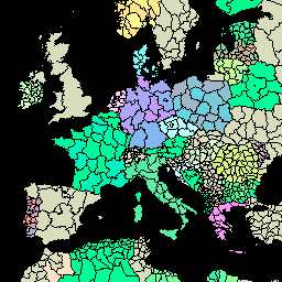
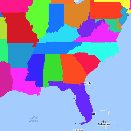
[[["わかりやすい","easyToUnderstand","thumb-up"],["問題の解決に役立った","solvedMyProblem","thumb-up"],["その他","otherUp","thumb-up"]],[["必要な情報がない","missingTheInformationINeed","thumb-down"],["複雑すぎる / 手順が多すぎる","tooComplicatedTooManySteps","thumb-down"],["最新ではない","outOfDate","thumb-down"],["翻訳に関する問題","translationIssue","thumb-down"],["サンプル / コードに問題がある","samplesCodeIssue","thumb-down"],["その他","otherDown","thumb-down"]],[],[],["The Global Administrative Unit Layers (GAUL) datasets compile and share information on administrative units worldwide, standardizing spatial data representation. One version is simplified to 500m. The US Census Bureau TIGER datasets provide the 2016 and 2018 boundaries for primary US governmental divisions, including states, the District of Columbia, Puerto Rico, and island areas.\n"]]