Page Summary
-
Climate and cryosphere datasets are available, including reanalysis products, forecasts, and snow and glacier measurements.
-
Datasets cover various temporal resolutions, from daily to monthly and 8-day composites.
-
Geographical coverage varies across datasets, including global, Continental North America, Hawaii, and Puerto Rico.
-
Data is provided by organizations such as NOAA, NCEP, ECMWF, and NASA, derived from satellite imagery and meteorological stations.
-
Variables included in these datasets encompass snow cover, glacier properties, atmospheric variables, and land surface parameters.
-
CFSR: Climate Forecast System Reanalysis
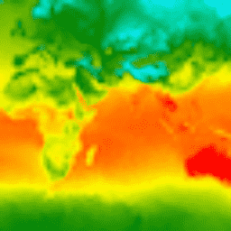
The National Centers for Environmental Prediction (NCEP) Climate Forecast System Reanalysis (CFSR) was designed and executed as a global, high-resolution, coupled atmosphere-ocean-land surface-sea ice system to provide the best estimate of the state of these coupled domains over the 32-year period of record from January … climate daylight flux forecast geophysical ncep -
CFSV2: NCEP Climate Forecast System Version 2, 6-Hourly Products Harmonized
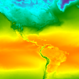
The National Centers for Environmental Prediction (NCEP) Climate Forecast System (CFS) is a fully coupled model representing the interaction between the Earth's atmosphere, oceans, land, and sea ice. CFS was developed at the Environmental Modeling Center (EMC) at NCEP. The operational CFS was upgraded to … climate daylight flux forecast geophysical ncep -
Daymet V4: Daily Surface Weather and Climatological Summaries
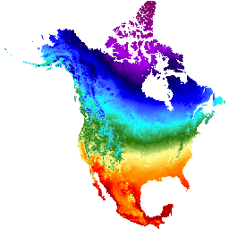
Daymet V4 provides gridded estimates of daily weather parameters for Continental North America, Hawaii, and Puerto Rico (Data for Puerto Rico is available starting in 1950). It is derived from selected meteorological station data and various supporting data sources. Compared to the previous version, Daymet … climate daily daylight flux geophysical nasa -
ECMWF Near-Realtime IFS Atmospheric Forecasts

This dataset contains 15-day forecasts of the atmospheric model variables generated by the ECMWF Integrated Forecasting System (IFS) at 0.25 degree resolution. We refer to these as Near-Realtime (NRT) because new products are released twice a day after the release of the ECMWF realtime forecast … climate dewpoint ecmwf forecast global humidity -
ERA5-Land Daily Aggregated - ECMWF Climate Reanalysis
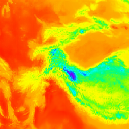
ERA5-Land is a reanalysis dataset providing a consistent view of the evolution of land variables over several decades at an enhanced resolution compared to ERA5. ERA5-Land has been produced by replaying the land component of the ECMWF ERA5 climate reanalysis. Reanalysis combines model data with … cds climate copernicus ecmwf era5-land evaporation -
ERA5-Land Hourly - ECMWF Climate Reanalysis
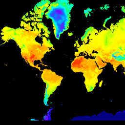
ERA5-Land is a reanalysis dataset providing a consistent view of the evolution of land variables over several decades at an enhanced resolution compared to ERA5. ERA5-Land has been produced by replaying the land component of the ECMWF ERA5 climate reanalysis. Reanalysis combines model data with … cds climate copernicus ecmwf era5-land evaporation -
ERA5-Land Monthly Aggregated - ECMWF Climate Reanalysis
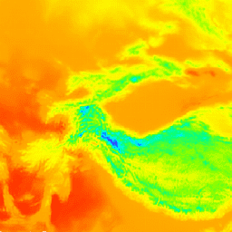
ERA5-Land is a reanalysis dataset providing a consistent view of the evolution of land variables over several decades at an enhanced resolution compared to ERA5. ERA5-Land has been produced by replaying the land component of the ECMWF ERA5 climate reanalysis. Reanalysis combines model data with … cds climate copernicus ecmwf era5-land evaporation -
ERA5-Land Monthly Averaged by Hour of Day - ECMWF Climate Reanalysis
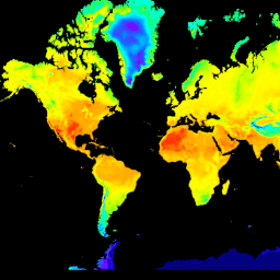
ERA5-Land is a reanalysis dataset providing a consistent view of the evolution of land variables over several decades at an enhanced resolution compared to ERA5. ERA5-Land has been produced by replaying the land component of the ECMWF ERA5 climate reanalysis. Reanalysis combines model data with … cds climate copernicus ecmwf era5-land evaporation -
FLDAS: Famine Early Warning Systems Network (FEWS NET) Land Data Assimilation System
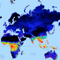
The FLDAS dataset (McNally et al. 2017), was designed to assist with food security assessments in data-sparse, developing country settings. It includes information on many climate-related variables including moisture content, humidity, evapotranspiration, average soil temperature, total precipitation rate, etc. There are multiple different FLDAS datasets; … climate cryosphere evapotranspiration humidity ldas monthly -
GLIMS 2023: Global Land Ice Measurements From Space
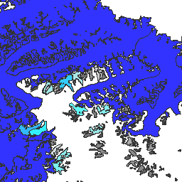
Global Land Ice Measurements from Space (GLIMS) is an international initiative with the goal of repeatedly surveying the world's estimated 200,000 glaciers. The project seeks to create a globally comprehensive inventory of land ice, including measurements of glacier area, geometry, surface velocity, and snow line … cryosphere glacier glims ice landcover nasa -
GLIMS Current: Global Land Ice Measurements From Space
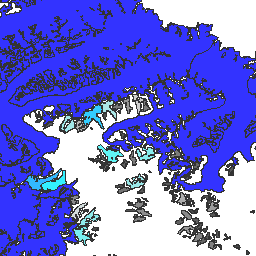
Global Land Ice Measurements from Space (GLIMS) is an international initiative with the goal of repeatedly surveying the world's estimated 200,000 glaciers. The project seeks to create a globally comprehensive inventory of land ice, including measurements of glacier area, geometry, surface velocity, and snow line … cryosphere glacier glims ice landcover nasa -
MOD10A1.061 Terra Snow Cover Daily Global 500m
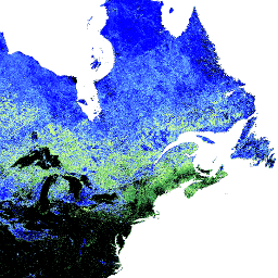
The MOD10A1 V6.1 Snow Cover Daily Global 500m product contains snow cover, snow albedo, fractional snow cover, and quality assessment (QA) data. Snow cover data are based on a snow mapping algorithm that employs a Normalized Difference Snow Index (NDSI) and other criteria tests. General … albedo cryosphere daily geophysical global modis -
MOD10A2.061 Terra Snow Cover 8-Day L3 Global 500m

MOD10A2 is a snow cover dataset from the MODIS on the Terra satellite. The dataset reports the maximum snow cover extent during an eight-day period at the resolution of 500 m. An eight-day compositing period was chosen because that is the exact ground track repeat … cryosphere daily geophysical global modis nasa -
MYD10A1.061 Aqua Snow Cover Daily Global 500m
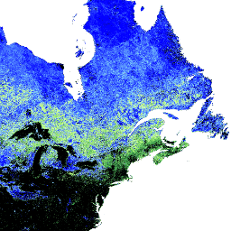
The MYD10A1 V6 Snow Cover Daily Global 500m product contains snow cover, snow albedo, fractional snow cover, and quality assessment (QA) data. Snow cover data are based on a snow mapping algorithm that employs a Normalized Difference Snow Index (NDSI) and other criteria tests. General … albedo aqua cryosphere daily geophysical global