
Page Summary
-
The FAO GAUL dataset provides standardized spatial data for first-level administrative units globally.
-
A simplified 500m resolution version of the FAO GAUL dataset is also available.
-
FAO GAUL 500m Simplified: Global Administrative Unit Layers 2025, First-Level Administrative Units
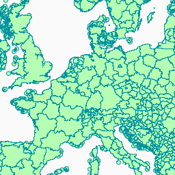
This version of the GAUL dataset is simplified at 500m. The administrative boundaries dataset at level 1 (sub-national level) is part of the Global Administrative Unit Layers (GAUL 2025) dataset series which includes information on administrative units for all countries in the world, providing a … borders departments fao gaul infrastructure-boundaries provinces -
FAO GAUL: Global Administrative Unit Layers 2025, First-Level Administrative Units
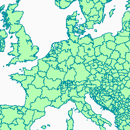
The administrative boundaries dataset at level 1 (sub-national level) is part of the Global Administrative Unit Layers (GAUL 2025) dataset series which includes information on administrative units for all countries in the world, providing a contribution to the standardization of the spatial dataset representing administrative … borders departments fao gaul infrastructure-boundaries provinces