Page Summary
-
GLIMS is an international initiative to repeatedly survey the world's glaciers and create a comprehensive inventory of land ice measurements.
-
MOD10A1 and MYD10A1 products provide daily global snow cover data based on a snow mapping algorithm.
-
MOD10A2 provides an 8-day composite of maximum snow cover extent globally at 500m resolution.
-
GLIMS 2023: Global Land Ice Measurements From Space
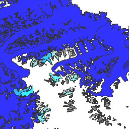
Global Land Ice Measurements from Space (GLIMS) is an international initiative with the goal of repeatedly surveying the world's estimated 200,000 glaciers. The project seeks to create a globally comprehensive inventory of land ice, including measurements of glacier area, geometry, surface velocity, and snow line … cryosphere glacier glims ice landcover nasa -
GLIMS Current: Global Land Ice Measurements From Space

Global Land Ice Measurements from Space (GLIMS) is an international initiative with the goal of repeatedly surveying the world's estimated 200,000 glaciers. The project seeks to create a globally comprehensive inventory of land ice, including measurements of glacier area, geometry, surface velocity, and snow line … cryosphere glacier glims ice landcover nasa -
MOD10A1.061 Terra Snow Cover Daily Global 500m

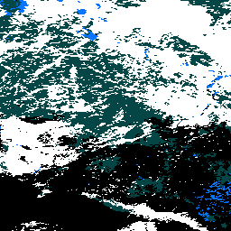
The MOD10A1 V6.1 Snow Cover Daily Global 500m product contains snow cover, snow albedo, fractional snow cover, and quality assessment (QA) data. Snow cover data are based on a snow mapping algorithm that employs a Normalized Difference Snow Index (NDSI) and other criteria tests. General … albedo cryosphere daily geophysical global modis -
MOD10A2.061 Terra Snow Cover 8-Day L3 Global 500m
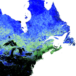
MOD10A2 is a snow cover dataset from the MODIS on the Terra satellite. The dataset reports the maximum snow cover extent during an eight-day period at the resolution of 500 m. An eight-day compositing period was chosen because that is the exact ground track repeat … cryosphere daily geophysical global modis nasa -
MYD10A1.061 Aqua Snow Cover Daily Global 500m
The MYD10A1 V6 Snow Cover Daily Global 500m product contains snow cover, snow albedo, fractional snow cover, and quality assessment (QA) data. Snow cover data are based on a snow mapping algorithm that employs a Normalized Difference Snow Index (NDSI) and other criteria tests. General … albedo aqua cryosphere daily geophysical global