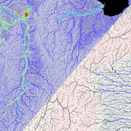
MERIT Hydro는 MERIT DEM 고도 데이터 및 수역 데이터 세트 (G1WBM, GSWO, OpenStreetMap) 버전 1.0.3에서 파생된 3초 해상도 (적도에서 약 90m)의 새로운 글로벌 흐름 방향 지도입니다. MERIT Hydro에는 새로운 …의 출력이 포함되어 있습니다.
[[["이해하기 쉬움","easyToUnderstand","thumb-up"],["문제가 해결됨","solvedMyProblem","thumb-up"],["기타","otherUp","thumb-up"]],[["필요한 정보가 없음","missingTheInformationINeed","thumb-down"],["너무 복잡함/단계 수가 너무 많음","tooComplicatedTooManySteps","thumb-down"],["오래됨","outOfDate","thumb-down"],["번역 문제","translationIssue","thumb-down"],["샘플/코드 문제","samplesCodeIssue","thumb-down"],["기타","otherDown","thumb-down"]],[],[],["MERIT DEM is a high-accuracy global Digital Elevation Model (DEM) with a 3 arc-second resolution. It was created by removing errors from existing DEMs. MERIT Hydro, derived from MERIT DEM, is a global flow direction map, also at 3 arc-second resolution, that uses water body datasets. Supplementary visualization layers for MERIT Hydro are also available. The main actions include the creation of these datasets and the enhancement of resolution and correction of errors.\n"]]