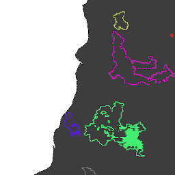
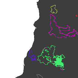
Terra と Aqua を組み合わせた MCD64A1 バージョン 6.1 焼失地域データ プロダクトは、ピクセルごとの焼失地域と品質情報を含む、月次のグローバル グリッド 500 m プロダクトです。MCD64A1 の焼失地域マッピング アプローチでは、500 m の MODIS 地表反射率画像と 1 km の MODIS アクティブ火災観測を組み合わせて使用します。アルゴリズムは次のとおりです。
[[["わかりやすい","easyToUnderstand","thumb-up"],["問題の解決に役立った","solvedMyProblem","thumb-up"],["その他","otherUp","thumb-up"]],[["必要な情報がない","missingTheInformationINeed","thumb-down"],["複雑すぎる / 手順が多すぎる","tooComplicatedTooManySteps","thumb-down"],["最新ではない","outOfDate","thumb-down"],["翻訳に関する問題","translationIssue","thumb-down"],["サンプル / コードに問題がある","samplesCodeIssue","thumb-down"],["その他","otherDown","thumb-down"]],[],[],["The content describes three datasets related to fire and burned areas, all utilizing the MODIS MCD64A1 dataset. Two datasets, \"GlobFire Daily\" and \"GlobFire Final,\" provide fire boundaries, computed by an algorithm using the space-time relationships between burned patches, each with a unique identifier. The third dataset, \"MCD64A1.061,\" is a monthly global product with 500m resolution, detailing burned areas and quality using surface reflectance imagery and active fire observations.\n"]]