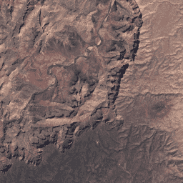
Esse conjunto de dados contém refletância da superfície corrigida atmosfericamente e temperatura da superfície terrestre derivadas dos dados produzidos pelo sensor ETM+ do Landsat 7. Essas imagens contêm quatro bandas visíveis e de infravermelho próximo (VNIR) e duas bandas de infravermelho de ondas curtas (SWIR) processadas para refletância de superfície ortorretificada, além de uma banda térmica.
Esse conjunto de dados contém refletância da superfície corrigida atmosfericamente e temperatura da superfície terrestre derivadas dos dados produzidos pelo sensor ETM+ do Landsat 7. Essas imagens contêm quatro bandas visíveis e de infravermelho próximo (VNIR) e duas bandas de infravermelho de ondas curtas (SWIR) processadas para refletância de superfície ortorretificada, além de uma banda térmica.
[[["Fácil de entender","easyToUnderstand","thumb-up"],["Meu problema foi resolvido","solvedMyProblem","thumb-up"],["Outro","otherUp","thumb-up"]],[["Não contém as informações de que eu preciso","missingTheInformationINeed","thumb-down"],["Muito complicado / etapas demais","tooComplicatedTooManySteps","thumb-down"],["Desatualizado","outOfDate","thumb-down"],["Problema na tradução","translationIssue","thumb-down"],["Problema com as amostras / o código","samplesCodeIssue","thumb-down"],["Outro","otherDown","thumb-down"]],[],[],[]]